Uphill
278m
France > Occitanie > Lot > Causses du Quercy Nature Park
Length
11km
Duration
3h30min
Elev gain
278m
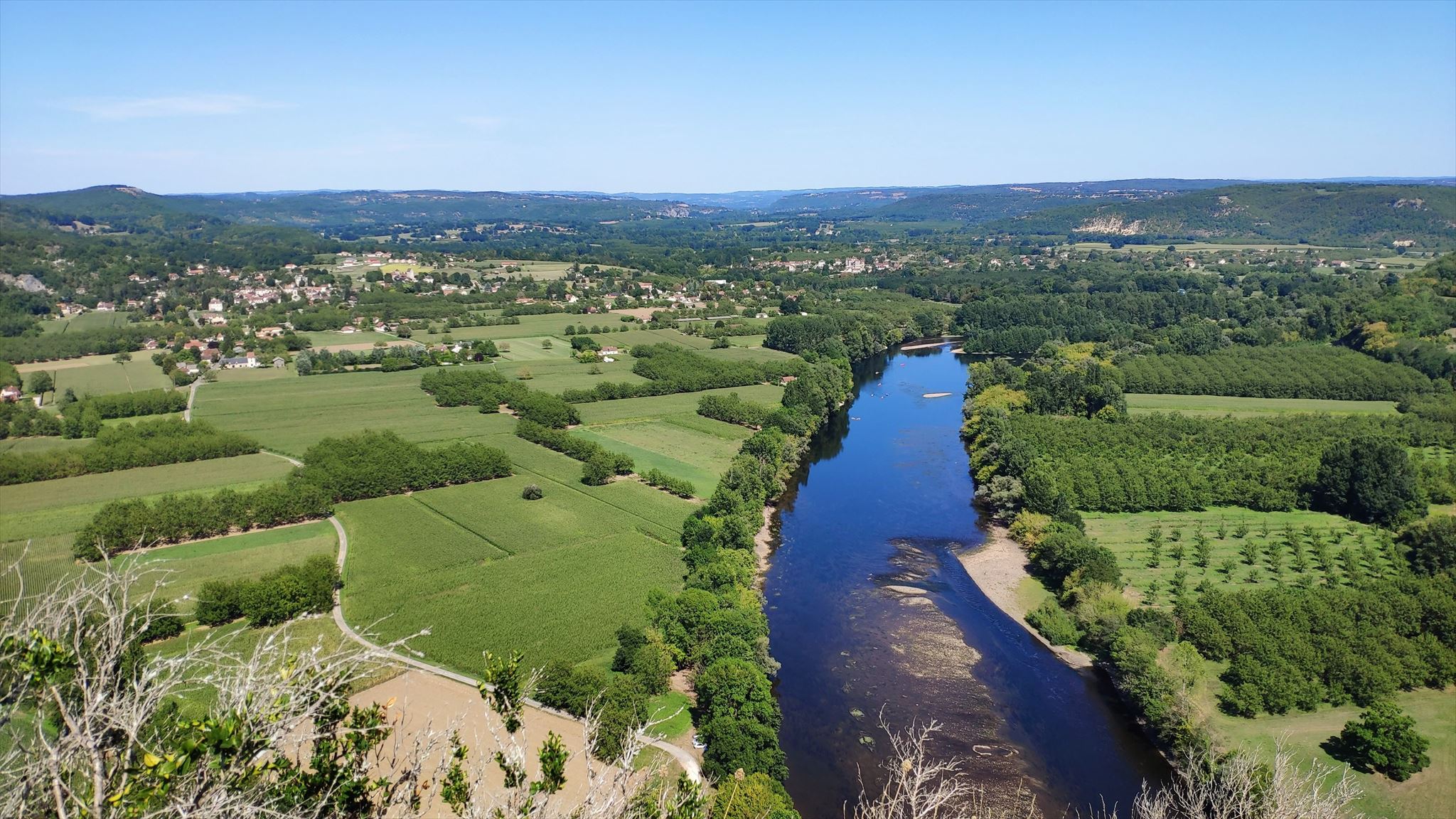
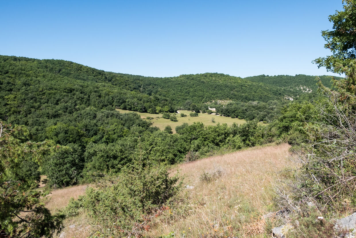
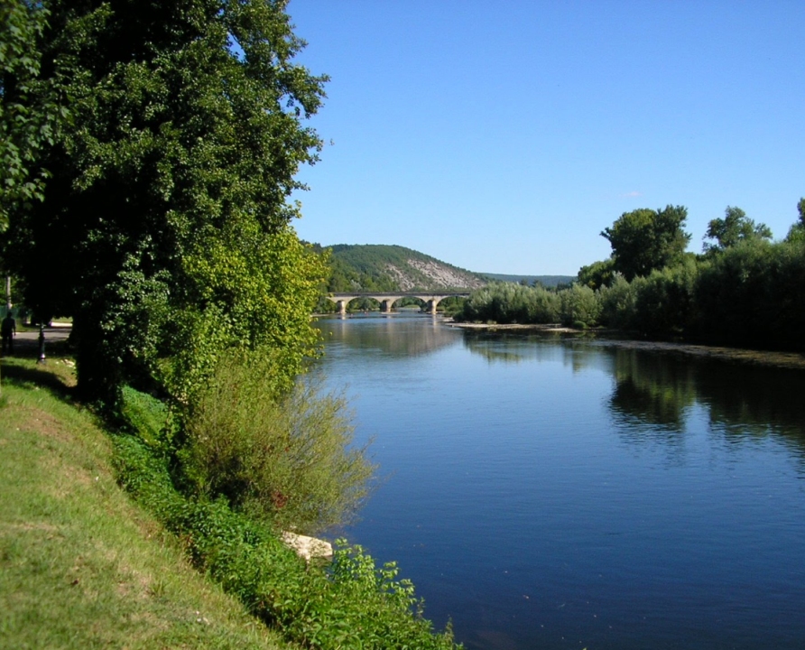
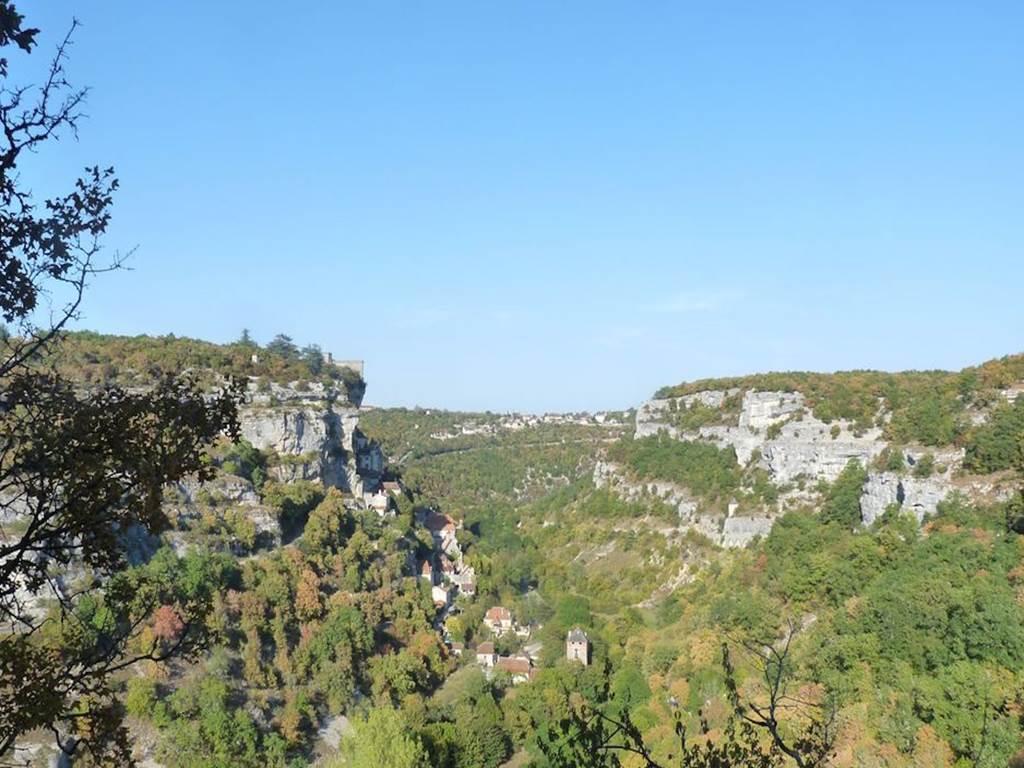
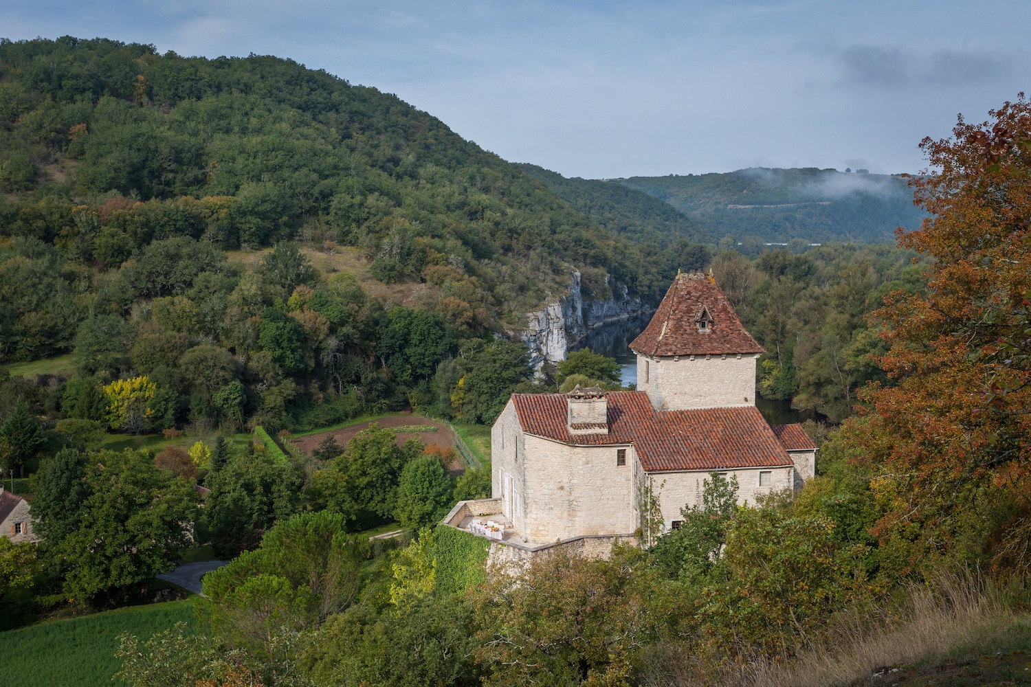
Departing from Meyraguet, this hike takes place in the heart of the Dordogne valley. The route passes through the Pech de Belcastel, the Château du Bastit then through the charming village of La Plantade.

Already more than 200,000 users!
Uphill
278m
Highest point
264m
Downhill
278m
Lowest point
88m
Route type
Loop
Download the map on your smartphone to save battery and rest assured to always keep access to the route, even without signal.
Includes IGN France and Swisstopo.
I indicate whether dogs are allowed or prohibited on this trail
All year
0 ratings
Also enjoy:

Already more than 200,000 users!