Uphill
270m
Length
8km
Duration
2h30min
Elev gain
270m
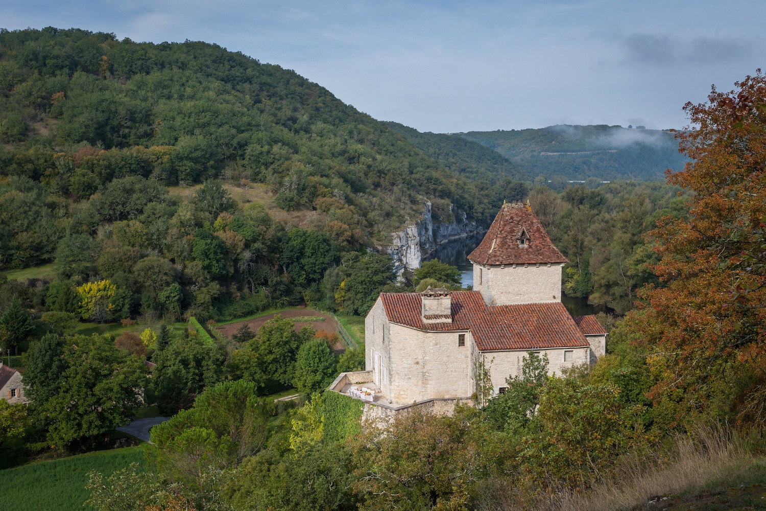
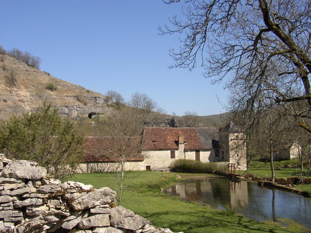
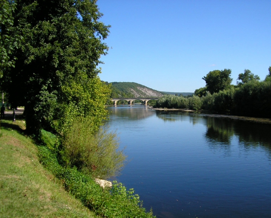
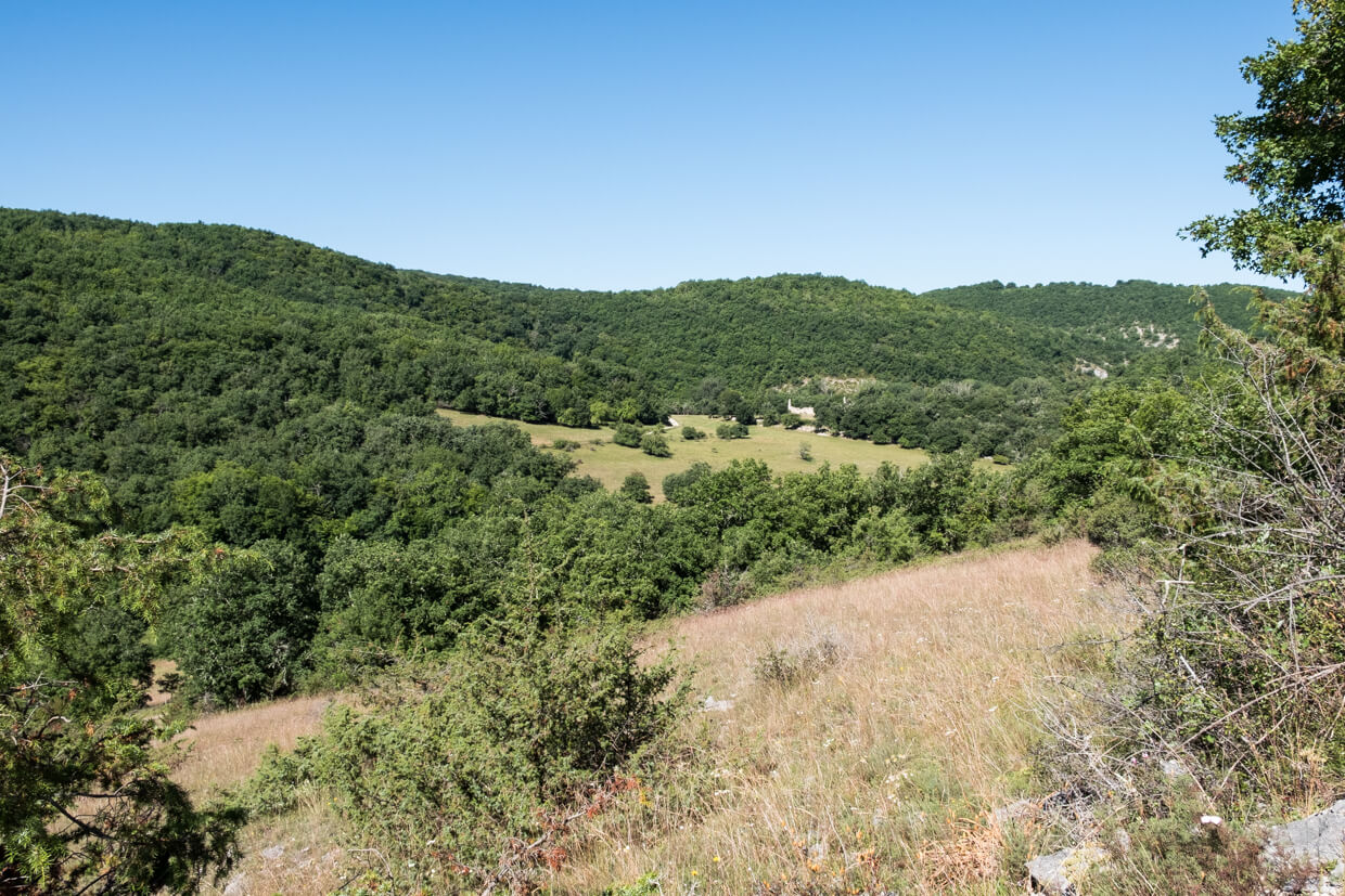
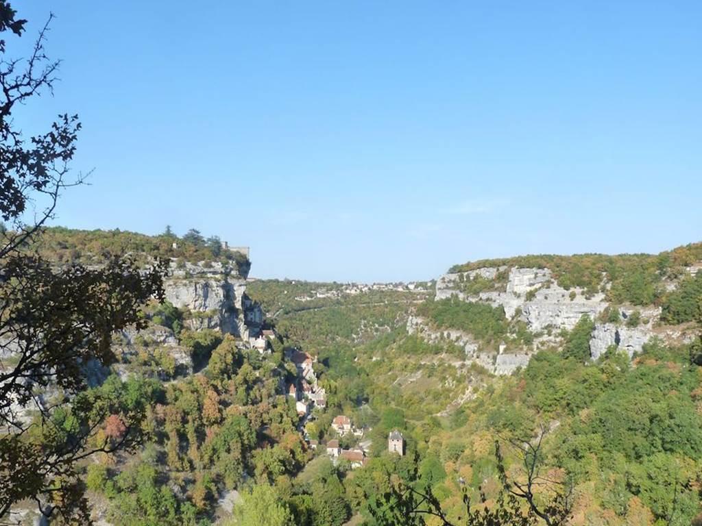
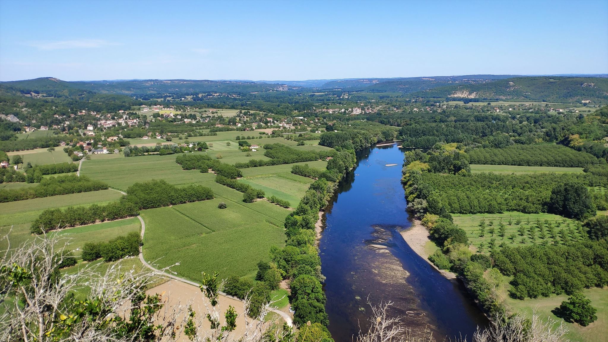
Leaving from Saint-Sozy, this hike leads to Blanzaguet. On the first part of the route, the path climbs in the shade of the trees and passes by the rock of Monges, where the view is on the Dordogne is breathtaking. The path then joins Blanzaguet before returning to the direction of the starting point in a mystical atmosphere, between rocks, caves and trees.

Already more than 200,000 users!
Uphill
270m
Highest point
242m
Downhill
270m
Lowest point
95m
Route type
Loop
Download the map on your smartphone to save battery and rest assured to always keep access to the route, even without signal.
Includes IGN France and Swisstopo.
I indicate whether dogs are allowed or prohibited on this trail
All year
2 ratings
Also enjoy:

Already more than 200,000 users!