Uphill
325m
Length
13km
Duration
4h
Elev gain
325m
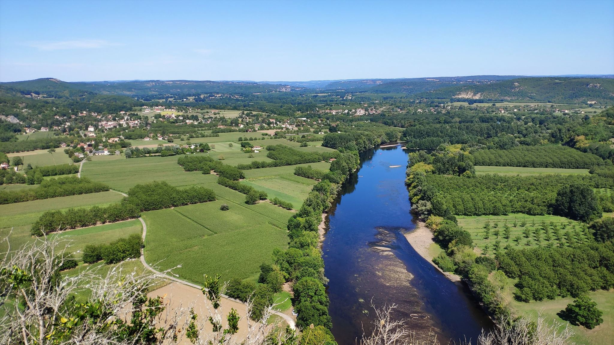
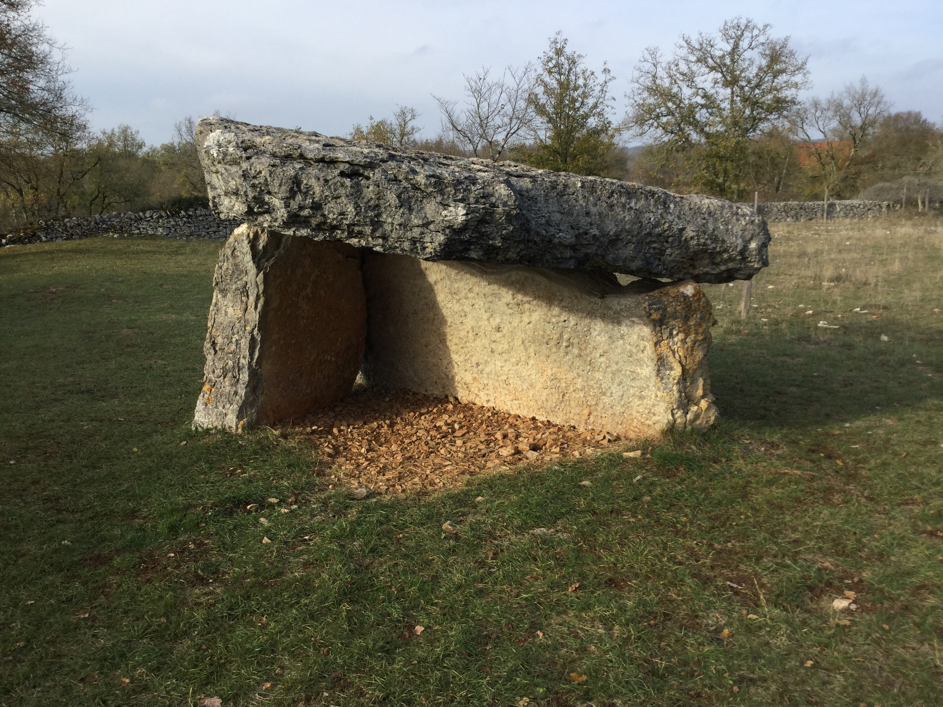
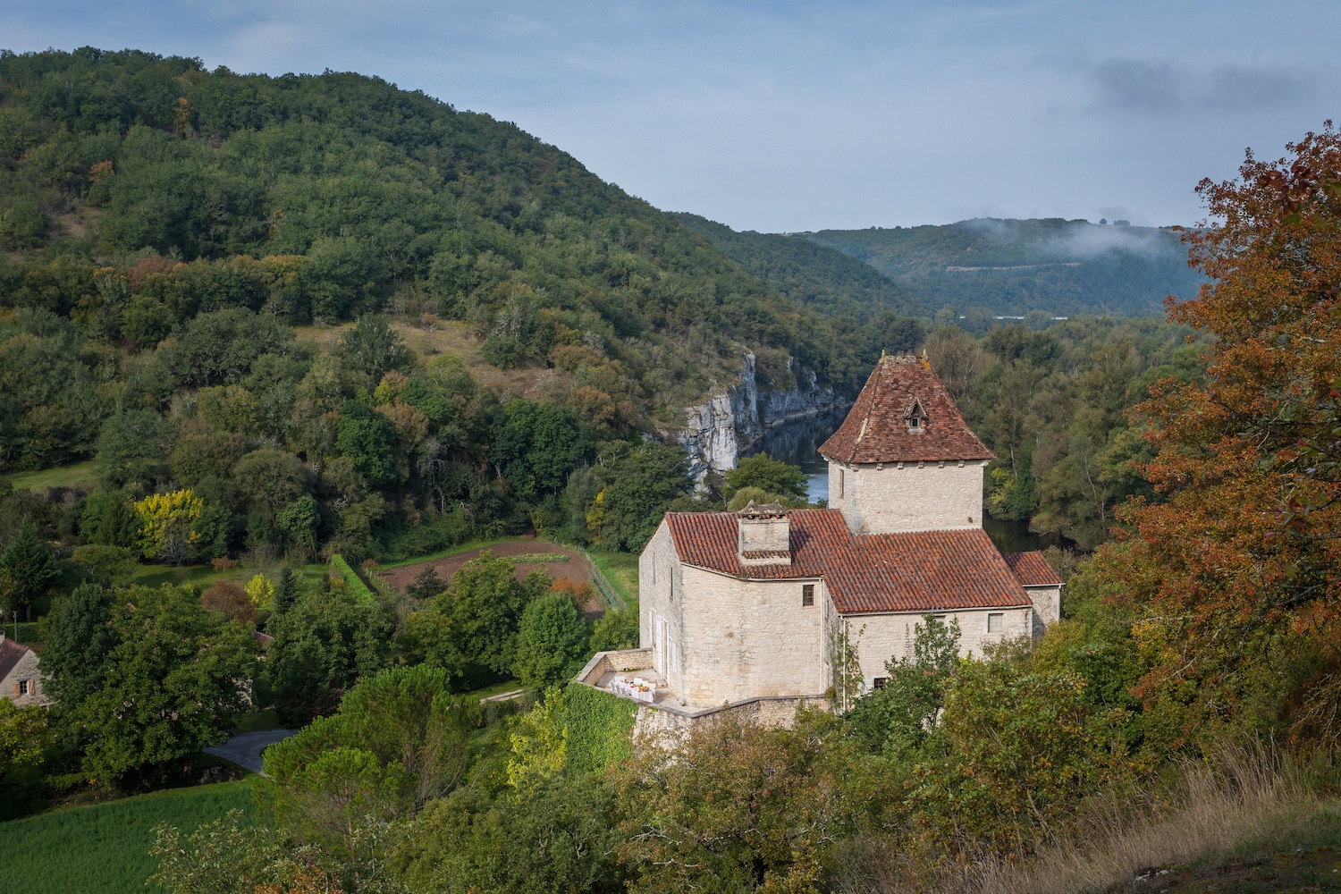
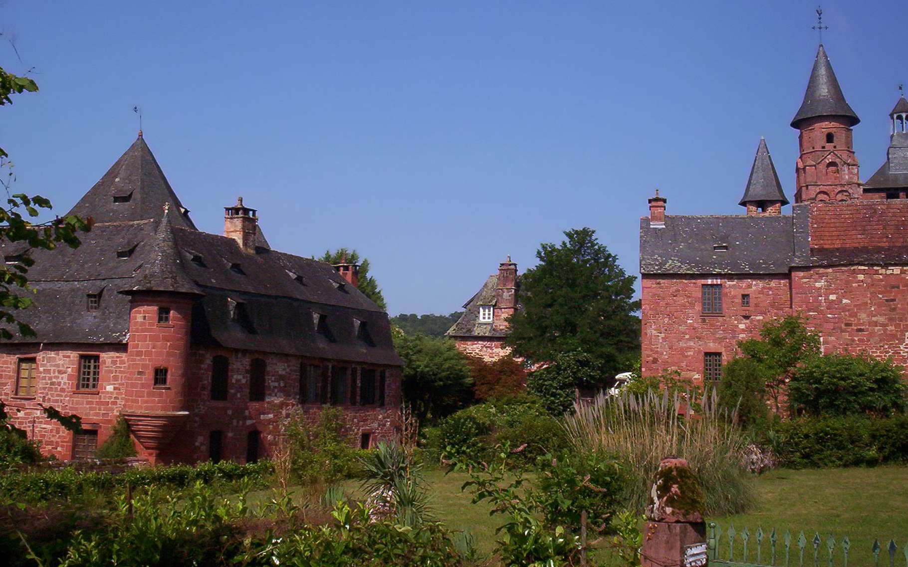
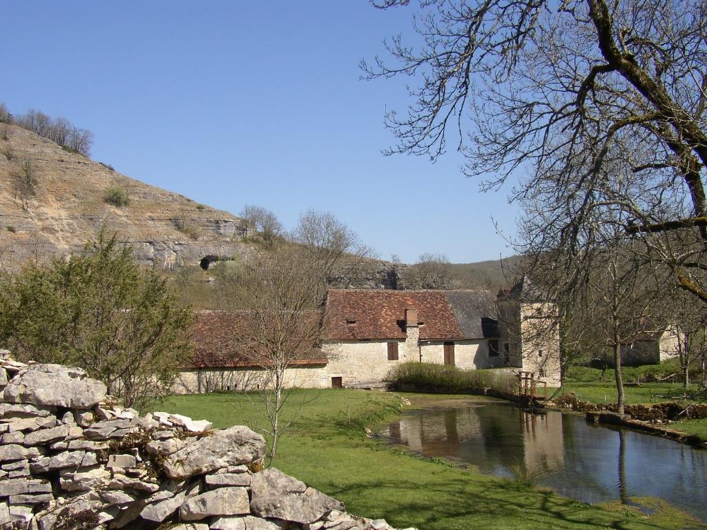
Here is a pretty hike starting from the medieval town of Martel, in the heart of green landscapes. The path passes by the Romanesque church of Murel, as well as the mill and the resurgence of the eye of the Doue.

Already more than 200,000 users!
Uphill
325m
Highest point
332m
Downhill
325m
Lowest point
155m
Route type
Loop
Download the map on your smartphone to save battery and rest assured to always keep access to the route, even without signal.
Includes IGN France and Swisstopo.
I indicate whether dogs are allowed or prohibited on this trail
All year
1 rating
Also enjoy:

Already more than 200,000 users!