Uphill
235m
Length
5km
Duration
2h
Elev gain
235m
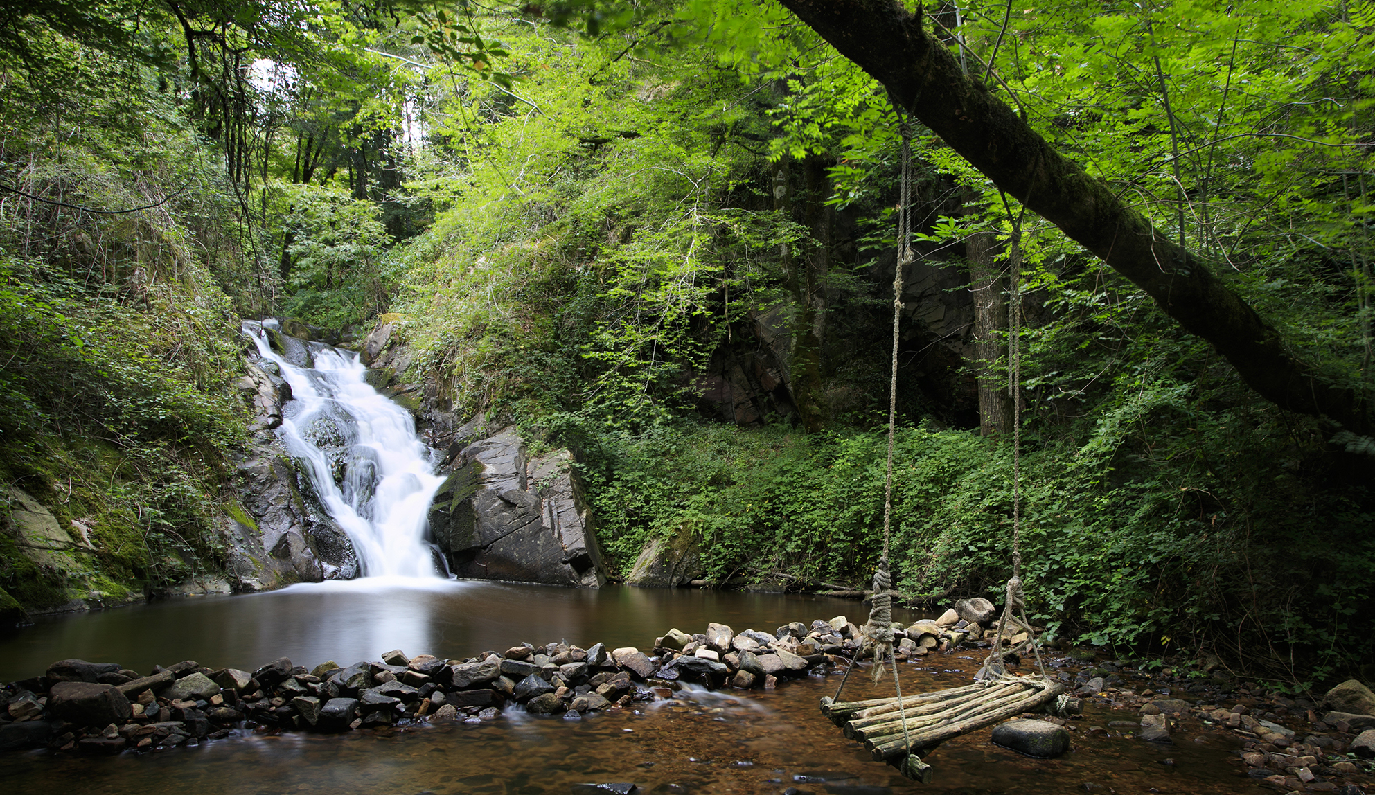
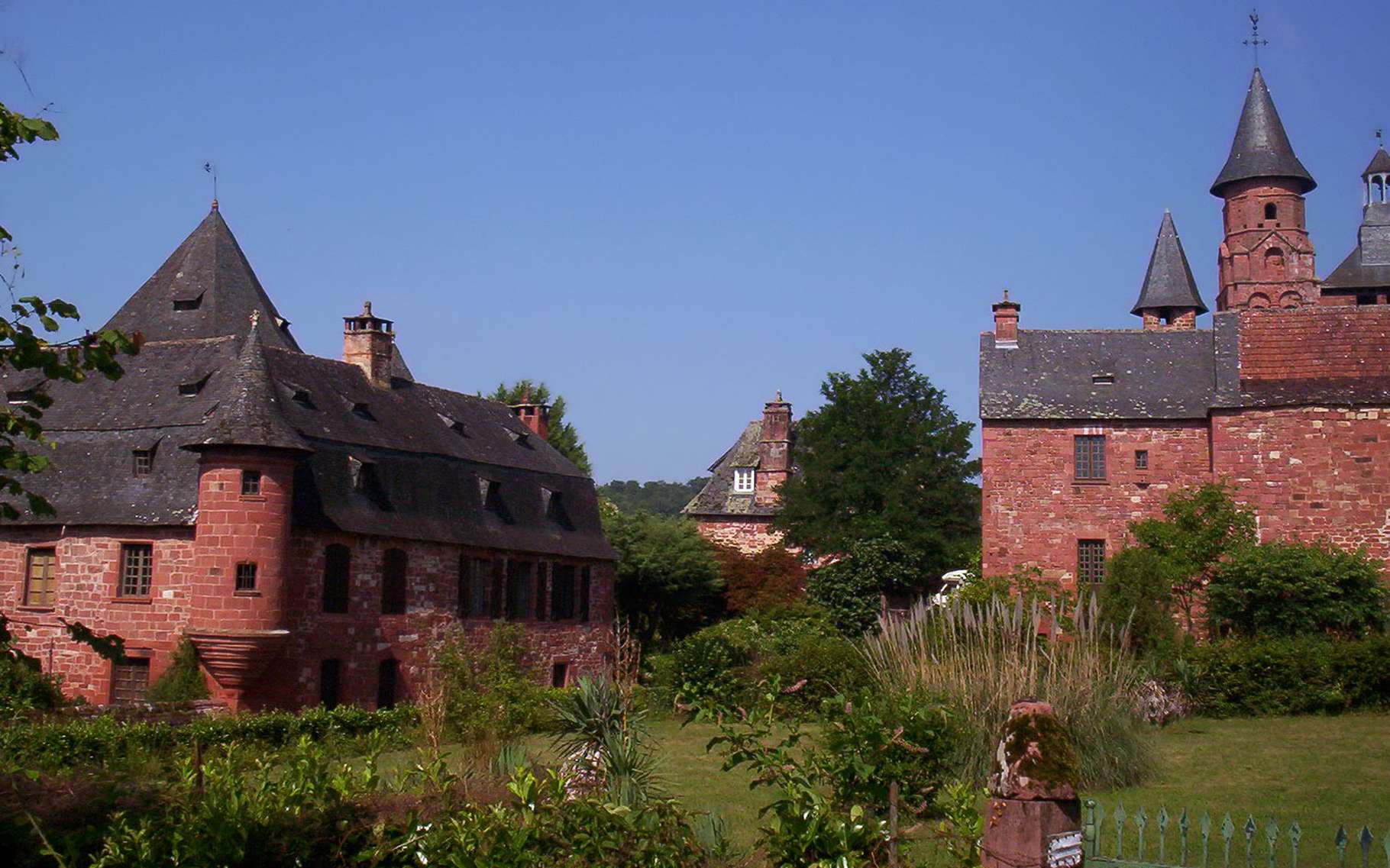
Hike on the heights of the charming town of Collonges-la-Rouge, known for its houses made of red sandstone. The route makes a loop in the forest then passes by the castle of Martret, classified as a historical monument.

Already more than 200,000 users!
Uphill
235m
Highest point
431m
Downhill
235m
Lowest point
224m
Route type
Loop
Download the map on your smartphone to save battery and rest assured to always keep access to the route, even without signal.
Includes IGN France and Swisstopo.
I indicate whether dogs are allowed or prohibited on this trail
All year
2 ratings
Also enjoy:

Already more than 200,000 users!