Uphill
368m
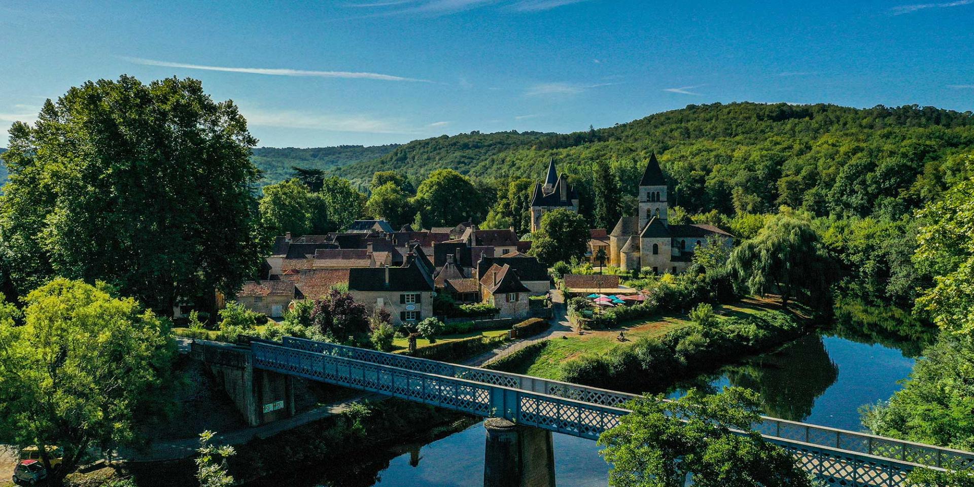
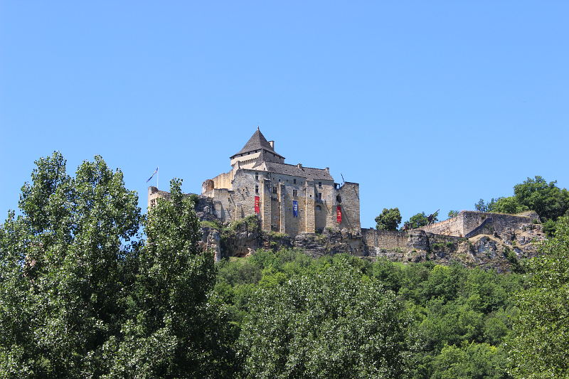
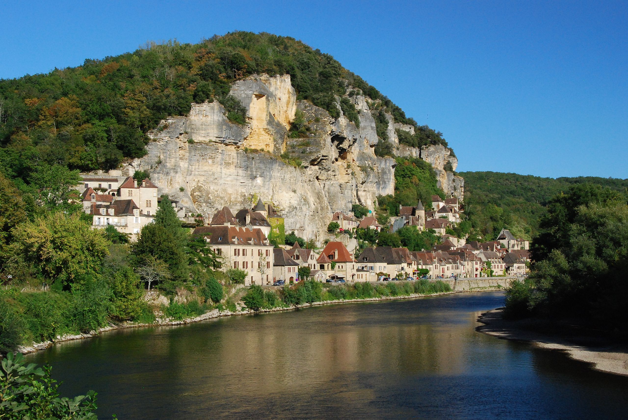
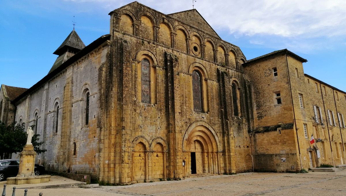
France > Nouvelle-Aquitaine > Dordogne
Length
16km
Duration
5h
Elev gain
368m
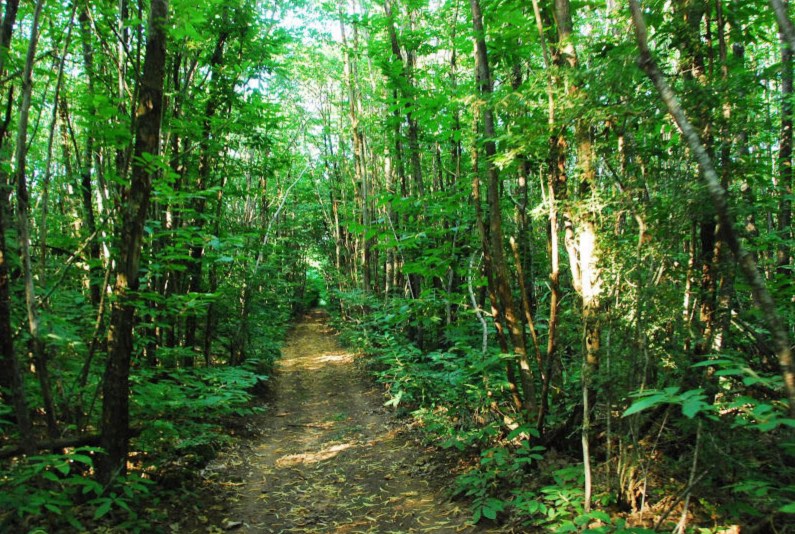
Departing from the Roque Saint-Christophe troglodyte site, this route runs along the Vézère by wooded crests to Saint-Léon-sur-Vézère. The way back is mainly in the forest.

Already more than 200,000 users!
Uphill
368m
Highest point
223m
Downhill
368m
Lowest point
50m
Route type
Loop
Download the map on your smartphone to save battery and rest assured to always keep access to the route, even without signal.
Includes IGN France and Swisstopo.
I indicate whether dogs are allowed or prohibited on this trail
All year
0 ratings
Also enjoy:

Already more than 200,000 users!