Uphill
169m
Length
9km
Duration
2h30min
Elev gain
169m
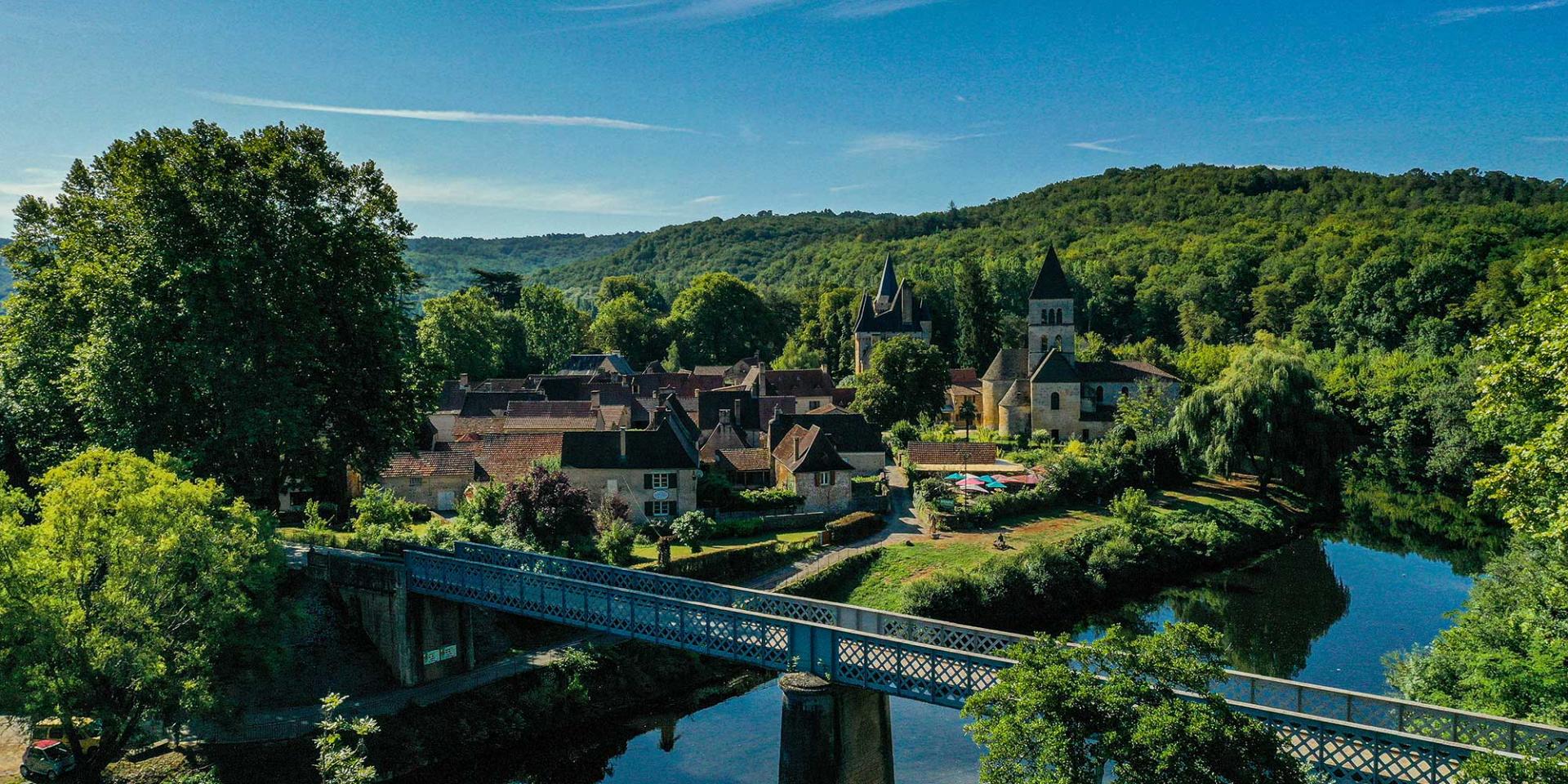
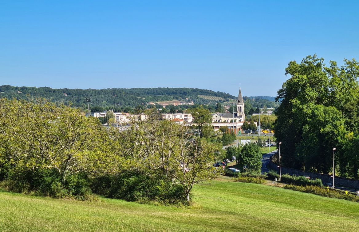
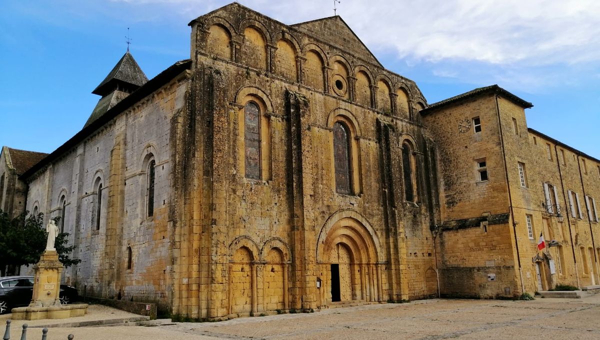
Starting from the Abbey of Notre-Dame-de-la-Nativité, a UNESCO World Heritage Site, this path winds through the villages and the forest around Cadouin.

Already more than 200,000 users!
Uphill
169m
Highest point
248m
Downhill
169m
Lowest point
122m
Route type
Loop
Download the map on your smartphone to save battery and rest assured to always keep access to the route, even without signal.
Includes IGN France and Swisstopo.
I indicate whether dogs are allowed or prohibited on this trail
All year
0 ratings
Also enjoy:

Already more than 200,000 users!