Uphill
210m
Length
7km
Duration
2h
Elev gain
210m
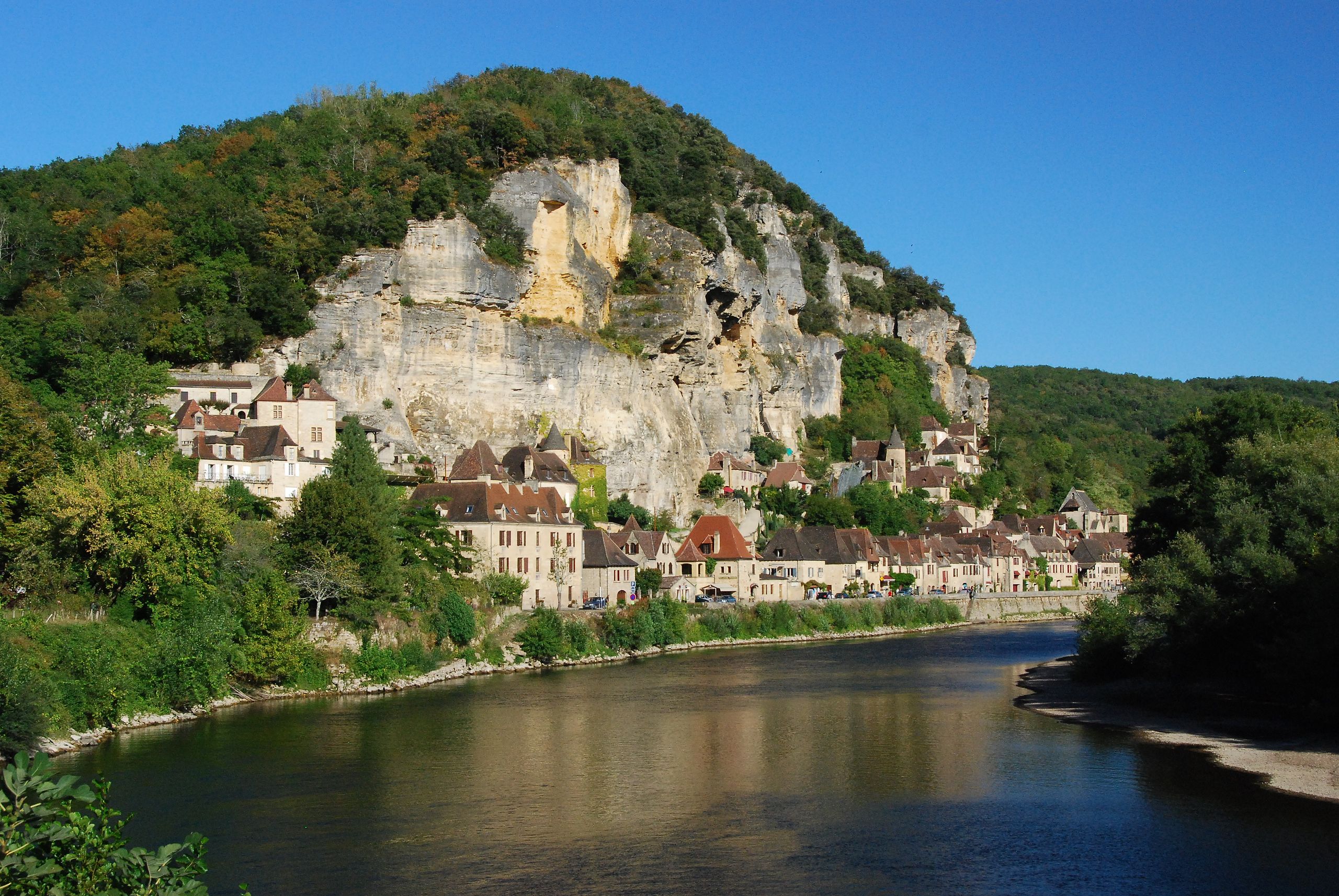
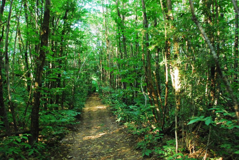
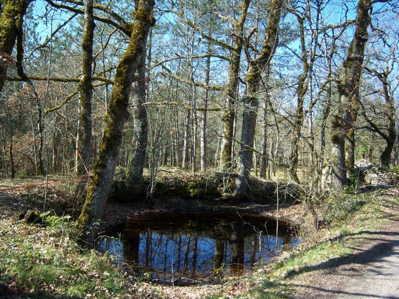
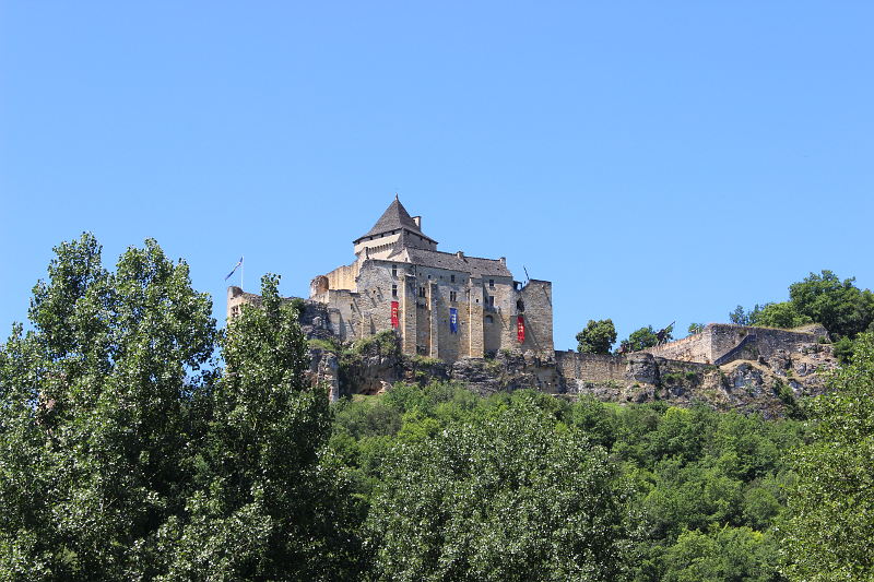
Near Castelnaud-la-Chapelle and its castle, this is a path mainly in the undergrowth offering some viewpoints through the vegetation.
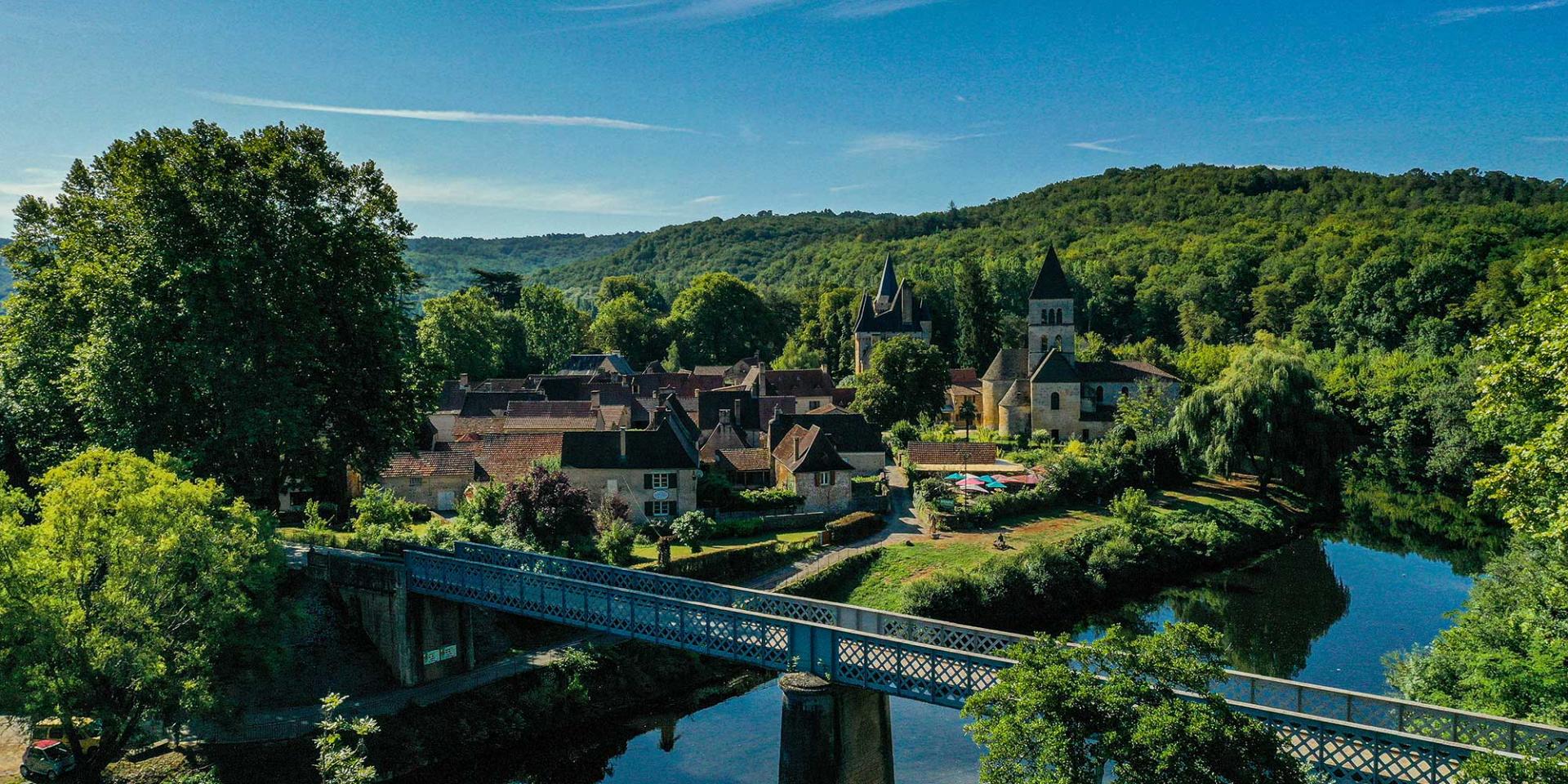
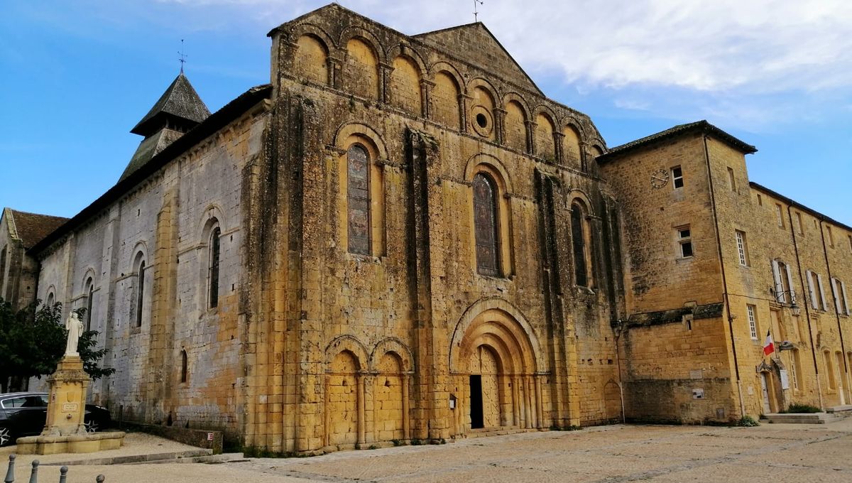
Note that the route crosses some hamlets, which requires walking on the road.

Already more than 200,000 users!
Uphill
210m
Highest point
228m
Downhill
210m
Lowest point
62m
Route type
Loop
Download the map on your smartphone to save battery and rest assured to always keep access to the route, even without signal.
Includes IGN France and Swisstopo.
2 ratings
Also enjoy:

Already more than 200,000 users!