Uphill
236m
Length
8km
Duration
2h30min
Elev gain
236m
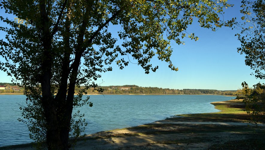
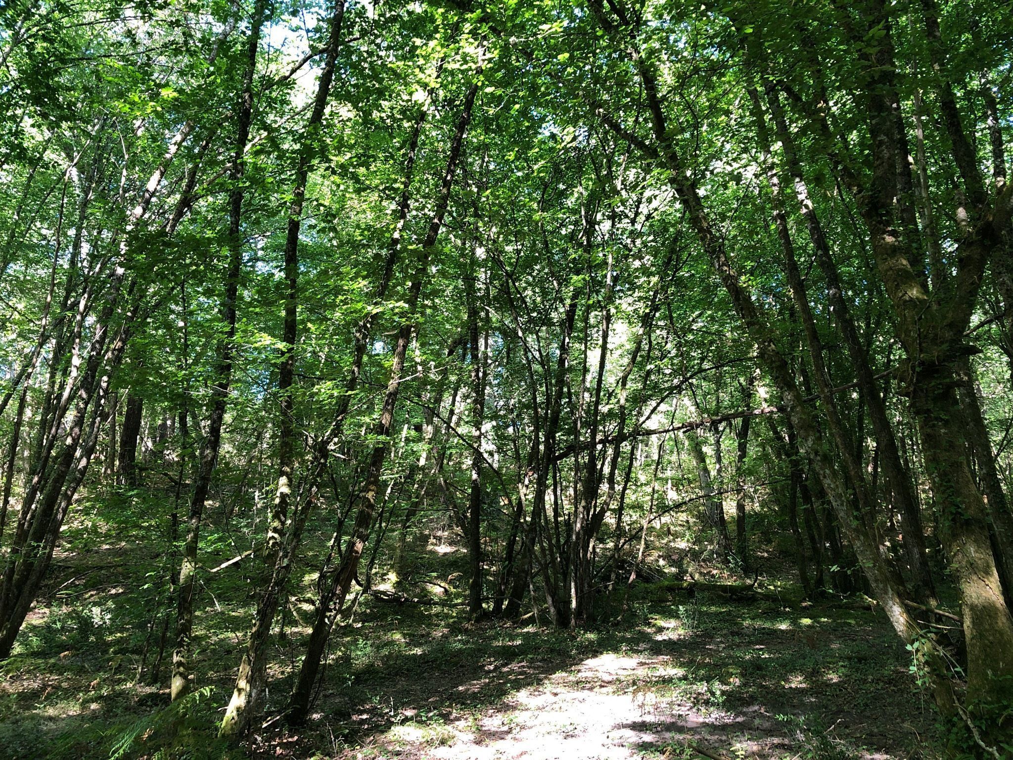
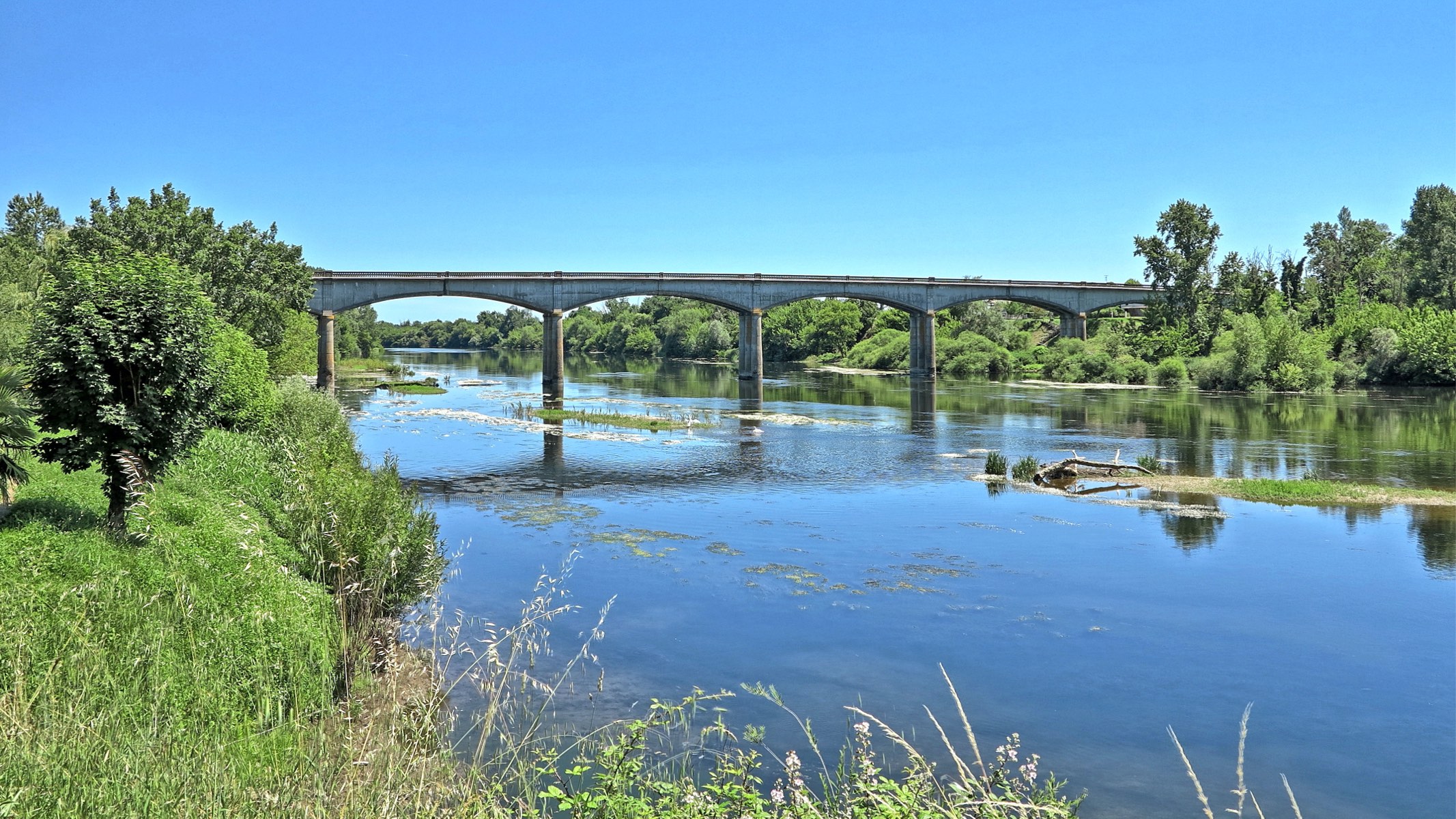
This route starting on the banks of the Dordogne follows rural paths between countryside and undergrowth, punctuated by a few hamlets.

Already more than 200,000 users!
Uphill
236m
Highest point
149m
Downhill
236m
Lowest point
12m
Route type
Loop
Download the map on your smartphone to save battery and rest assured to always keep access to the route, even without signal.
Includes IGN France and Swisstopo.
I indicate whether dogs are allowed or prohibited on this trail
All year
0 ratings
Also enjoy:

Already more than 200,000 users!