Uphill
603m

Length
8km
Duration
4h
Elev gain
603m
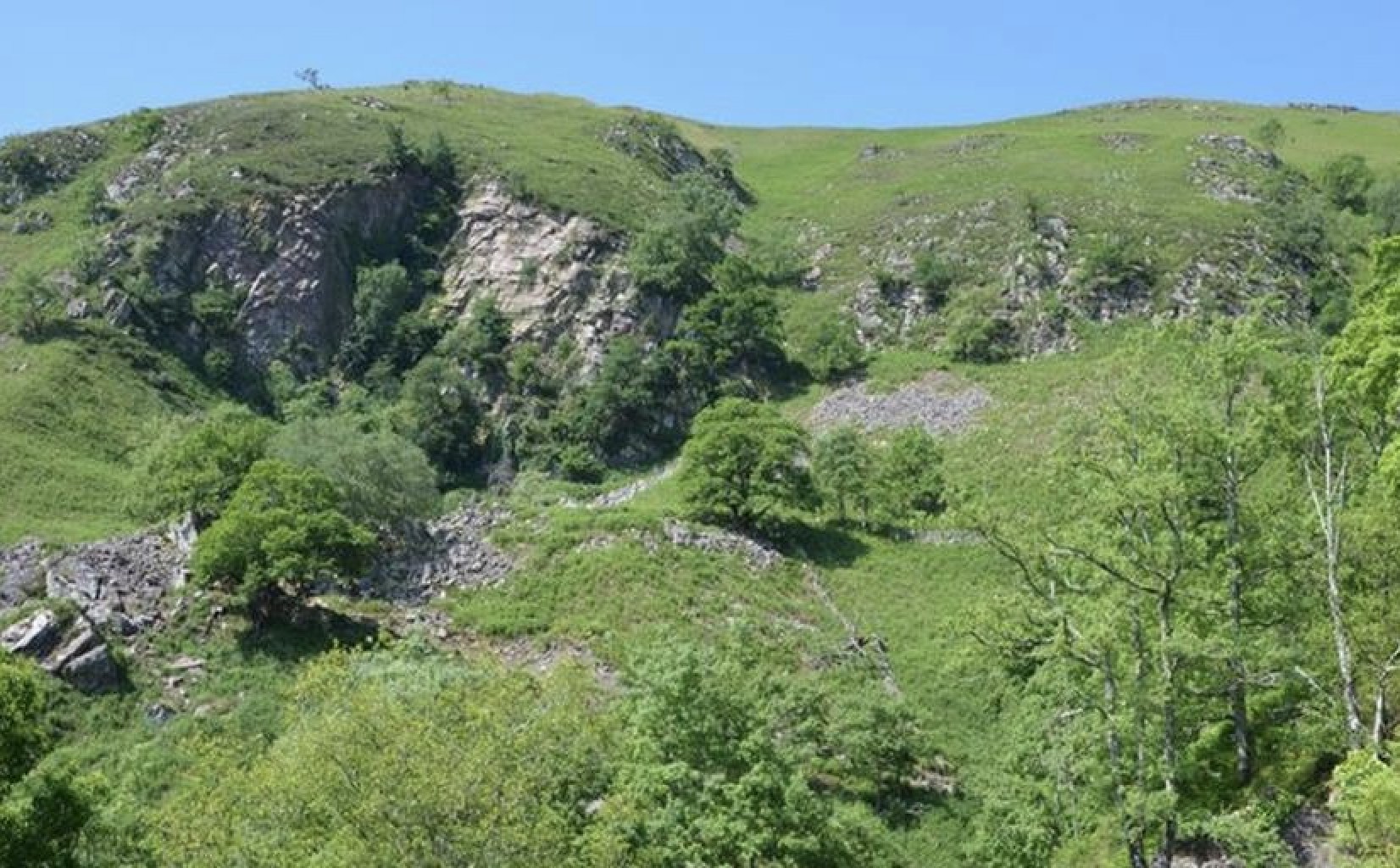
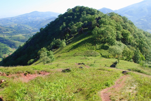
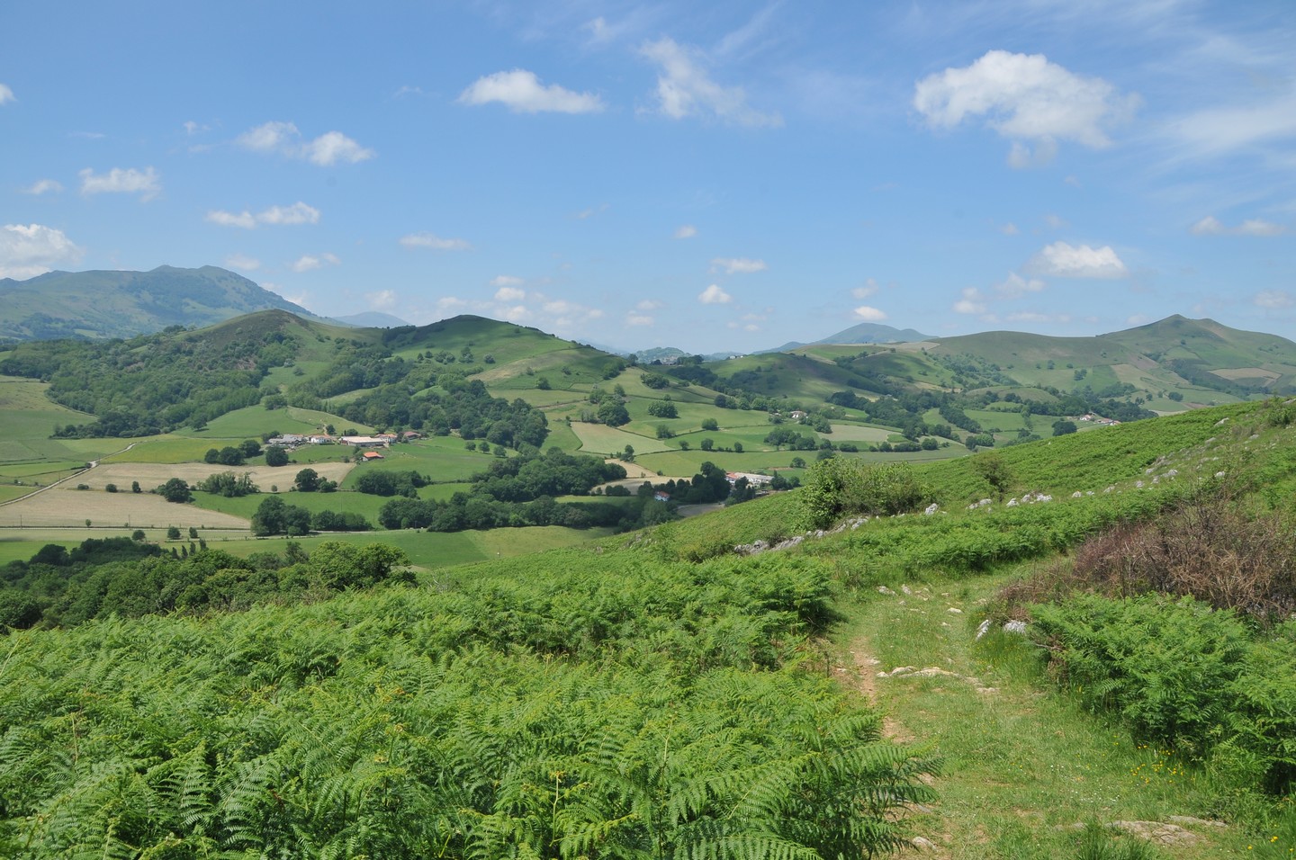
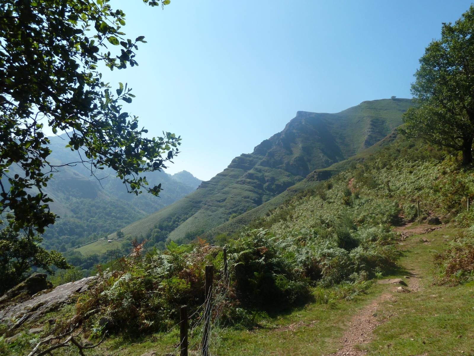
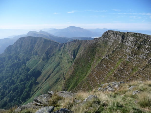
Here is a hike offering beautiful views of the surrounding mountains, in a setting with preserved fauna and flora. It is possible to observe sheep, pottoks (small Basque horses) and with a little luck griffon vultures.

Already more than 200,000 users!
Uphill
603m
Highest point
856m
Downhill
603m
Lowest point
287m
Route type
Loop
Download the map on your smartphone to save battery and rest assured to always keep access to the route, even without signal.
Includes IGN France and Swisstopo.
I indicate whether dogs are allowed or prohibited on this trail
All year
6 ratings
Also enjoy:

Already more than 200,000 users!