Uphill
875m
Length
11km
Duration
6h
Elev gain
875m
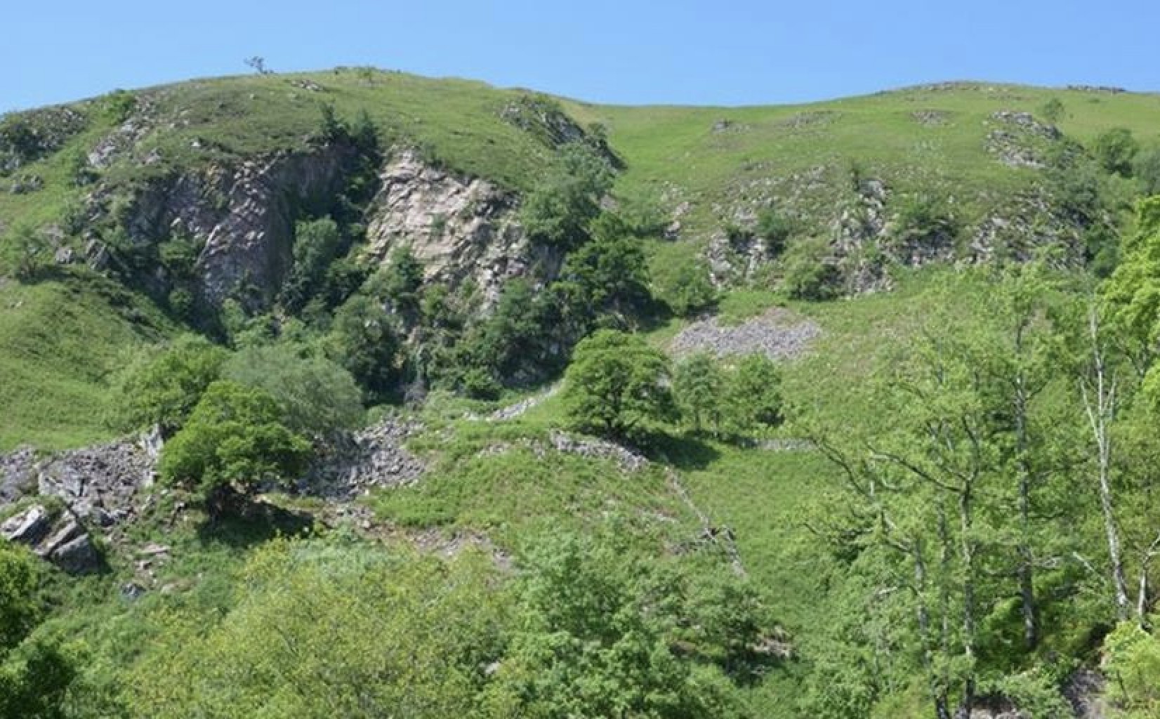
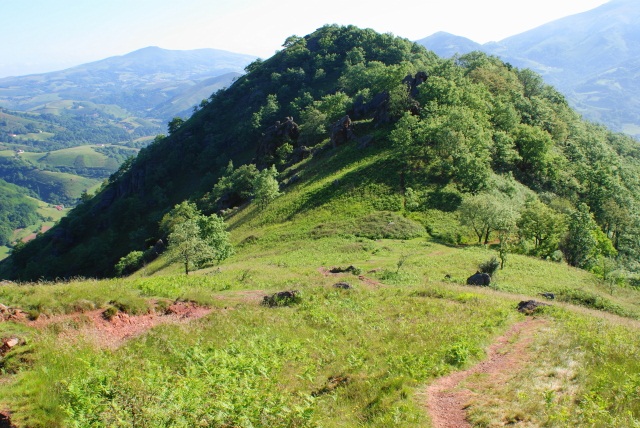
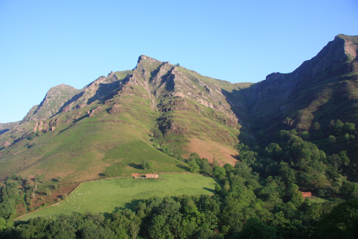
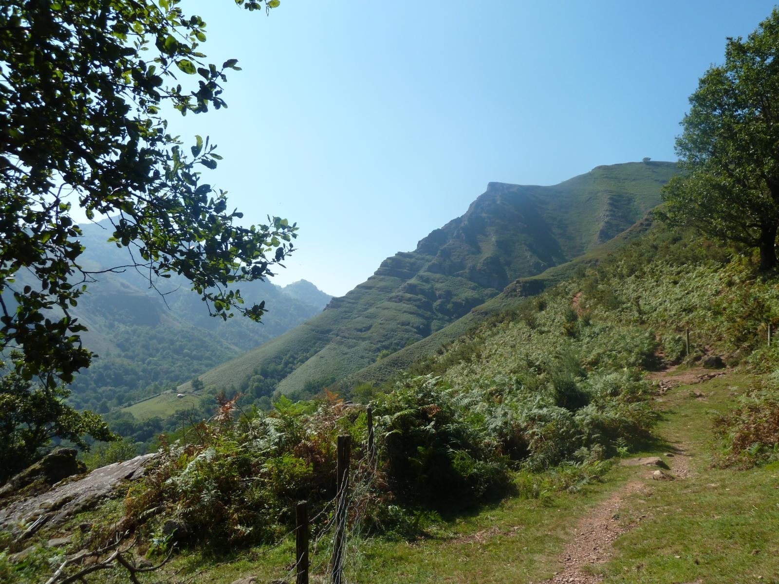
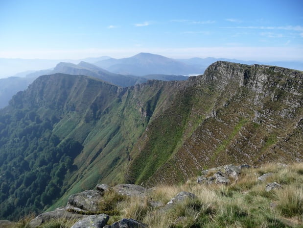
From the Bordazar farm, climb up to the Iparla pass, then take an aerial route over the crest to the Harietta pass. The panorama is exceptional.

Already more than 200,000 users!
Uphill
875m
Highest point
1054m
Downhill
875m
Lowest point
288m
Route type
Loop
Download the map on your smartphone to save battery and rest assured to always keep access to the route, even without signal.
Includes IGN France and Swisstopo.
I indicate whether dogs are allowed or prohibited on this trail
Can be difficult in Winter
3 ratings
montée très difficile
à éviter l’hiver
très beau
Also enjoy:

Already more than 200,000 users!