Uphill
508m
Length
8km
Duration
3h30min
Elev gain
508m
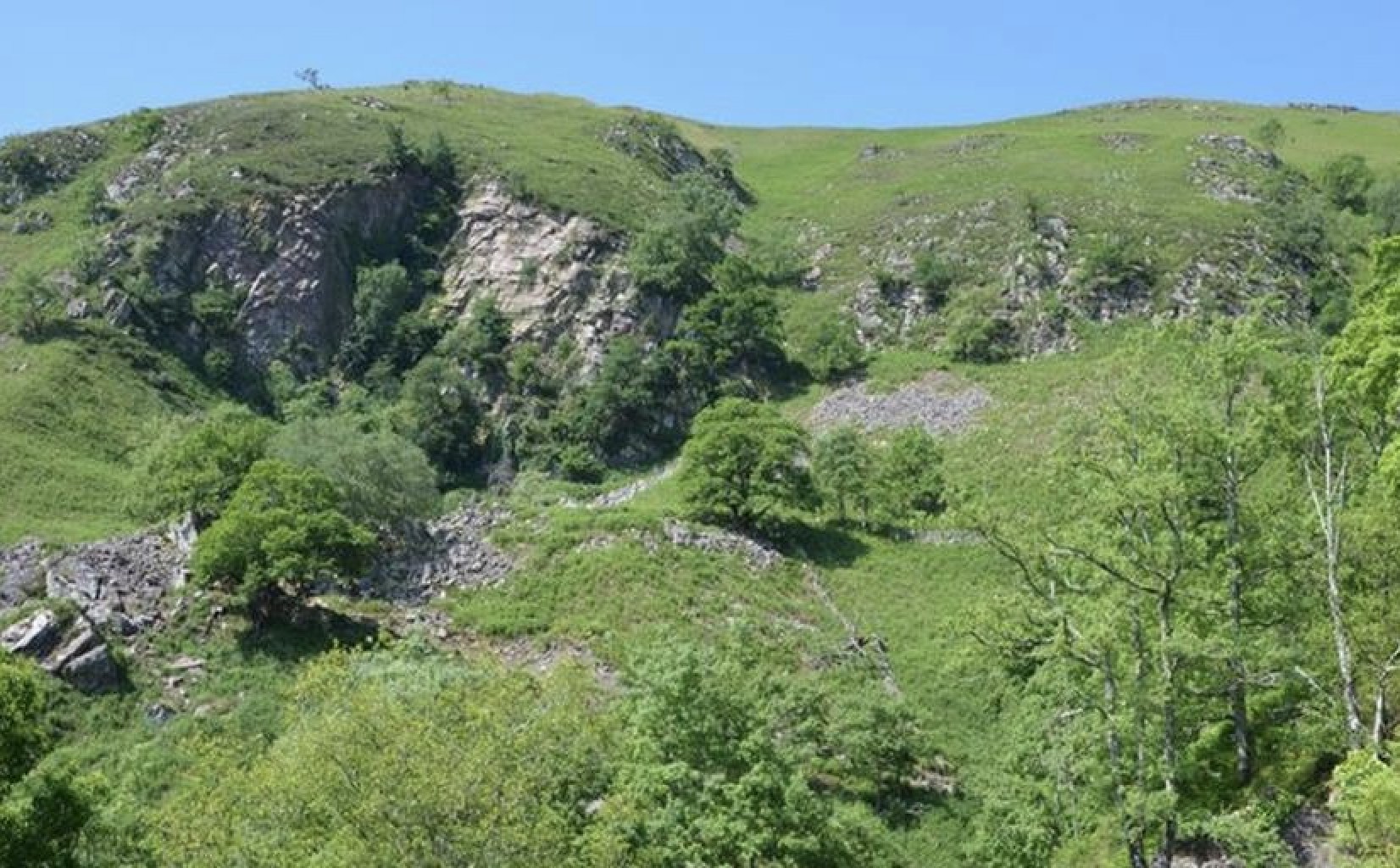
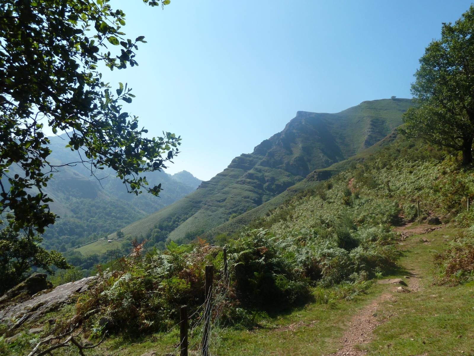
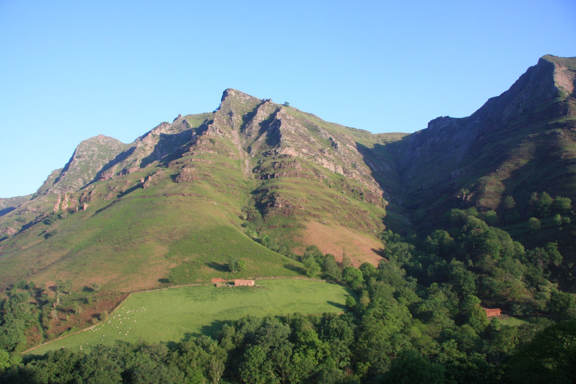
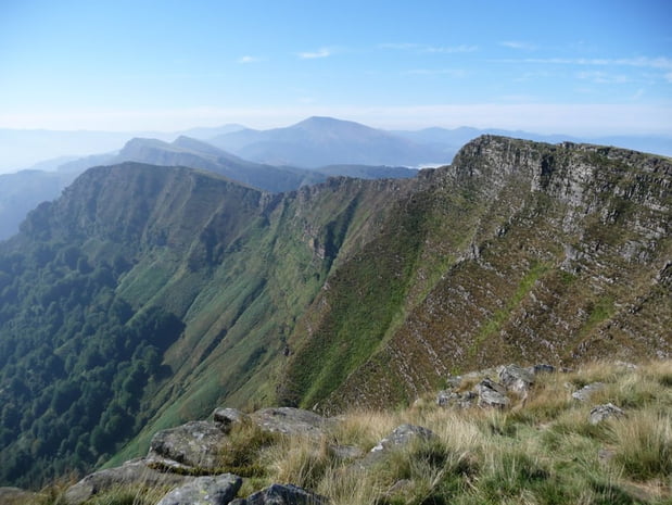
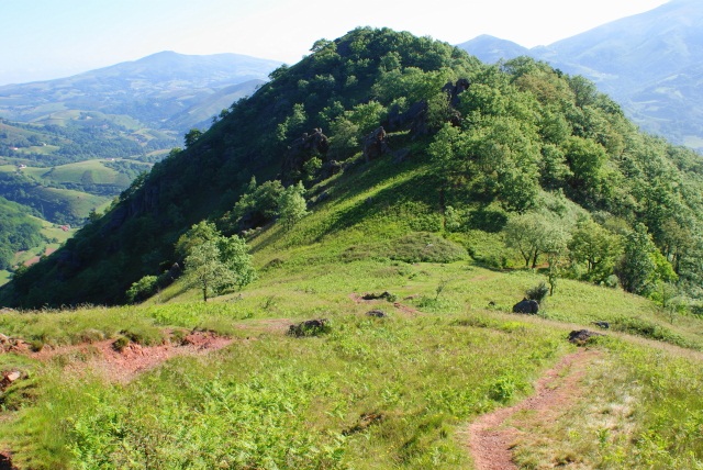
Loop through the green hills of the Basque Country, starting from Bidarray.

Already more than 200,000 users!
Uphill
508m
Highest point
645m
Downhill
508m
Lowest point
134m
Route type
Loop
Download the map on your smartphone to save battery and rest assured to always keep access to the route, even without signal.
Includes IGN France and Swisstopo.
Parking in front of Bidarray town hall.
Gare de Bidarray Pont-Noblia is 500 m away.
I indicate whether dogs are allowed or prohibited on this trail
All year
2 ratings
Also enjoy:

Already more than 200,000 users!