Uphill
235m
Length
5km
Duration
2h
Elev gain
235m
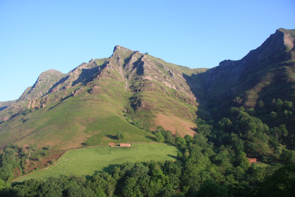
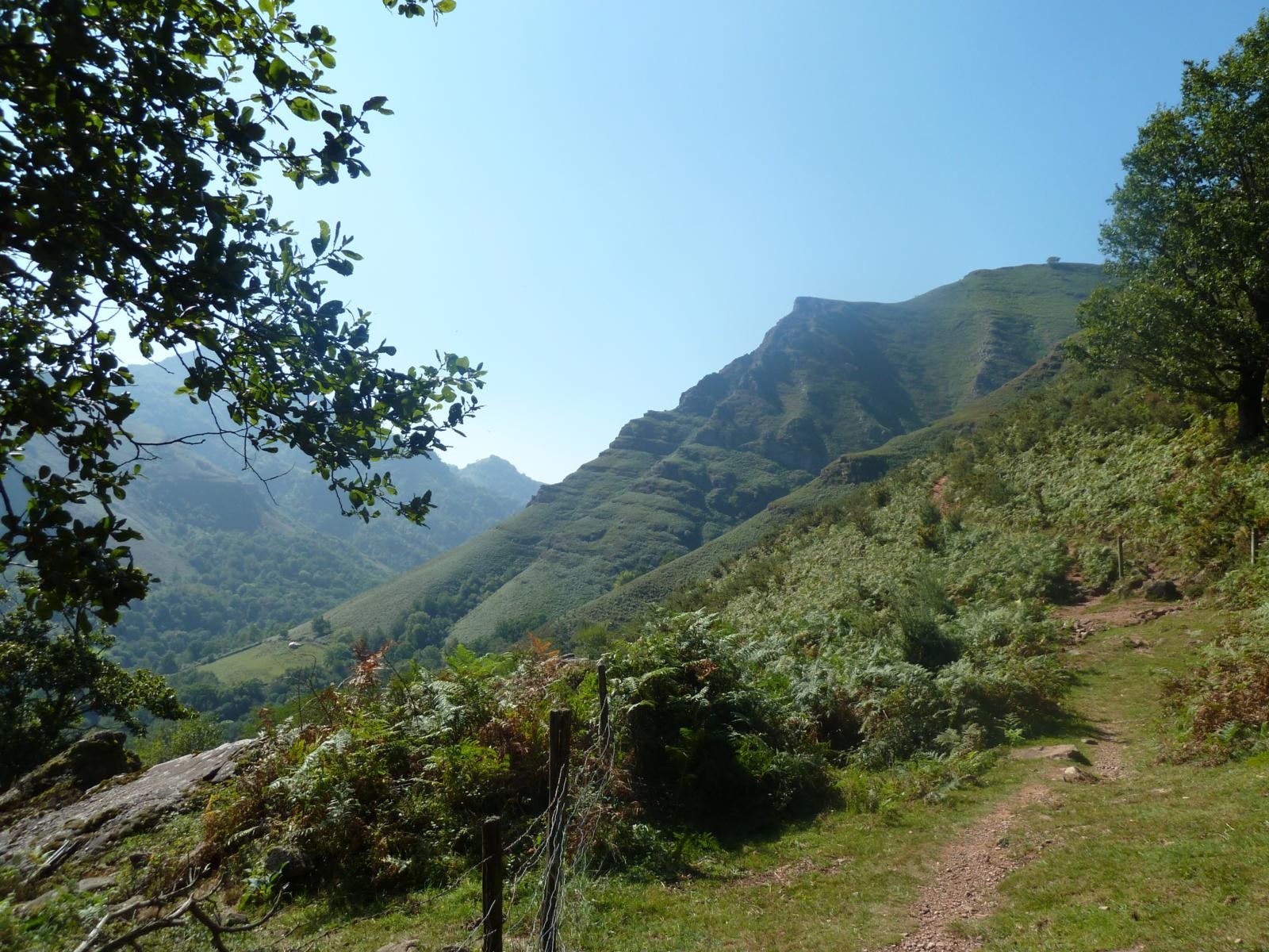
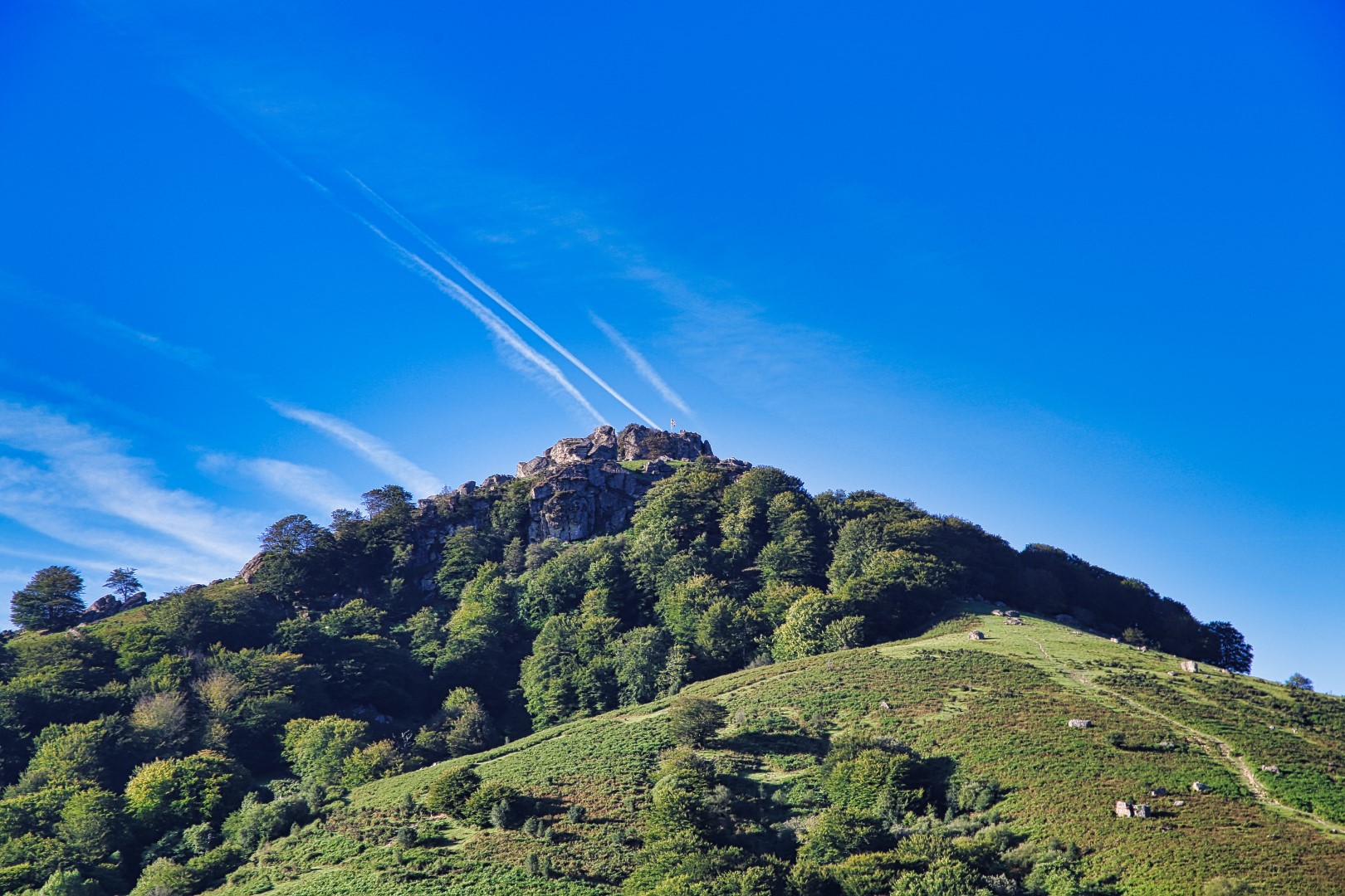
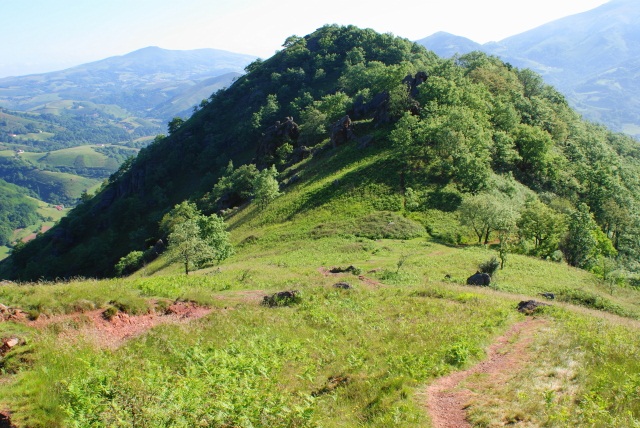
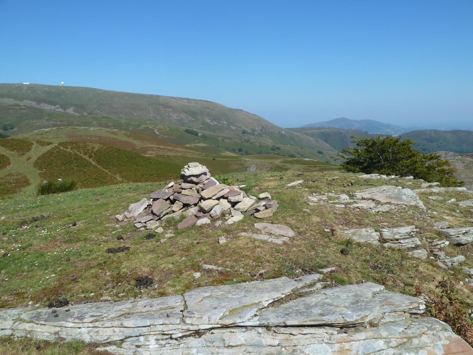
Pleasant hike that leads to Bagamendi, at 712 meters. The trail begins with a gradual descent to a stream, before climbing steeply to Bagamendi. The return goes through the Ezpatza.

Already more than 200,000 users!
Uphill
235m
Highest point
734m
Downhill
234m
Lowest point
525m
Route type
Loop
Download the map on your smartphone to save battery and rest assured to always keep access to the route, even without signal.
Includes IGN France and Swisstopo.
I indicate whether dogs are allowed or prohibited on this trail
All year
1 rating
Le parcours peut être sympa, sauf que non balisé
Le départ très compliqué à trouver, pour nous impossible.
Nous avons fait le parcours en sens inverse, à été plus facile à trouver.
Par contre nous nous sommes perdus, avons eu beaucoup de mal à trouver le chemin retour, retour au milieu des fougères, chemin difficile à trouver.
Also enjoy:

Already more than 200,000 users!