Uphill
405m
Length
6km
Duration
3h
Elev gain
405m
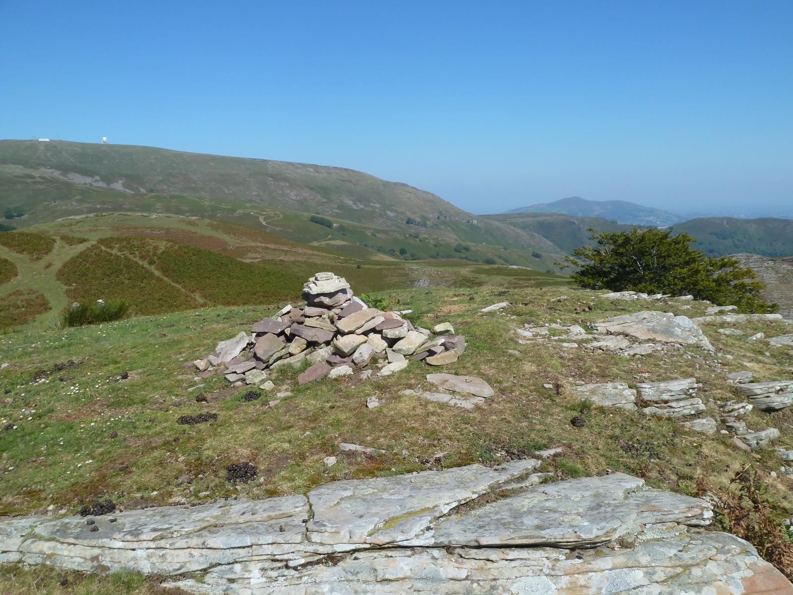
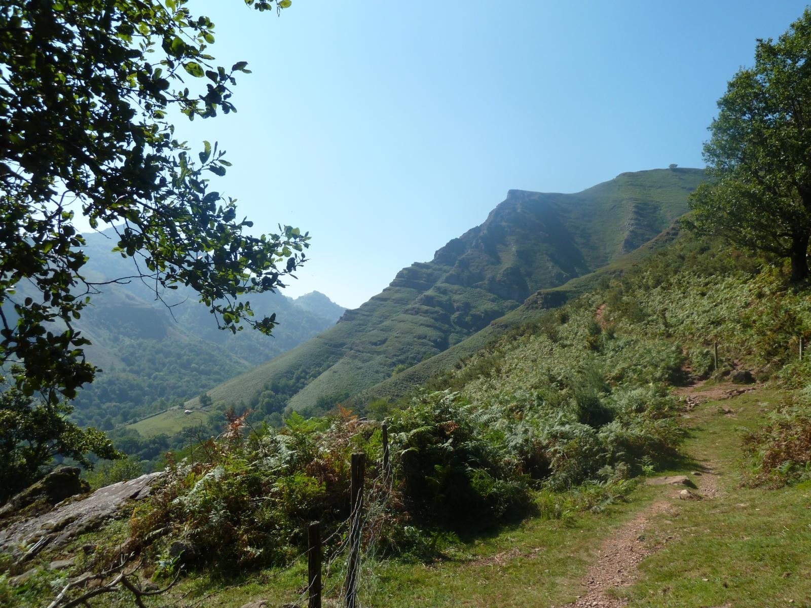
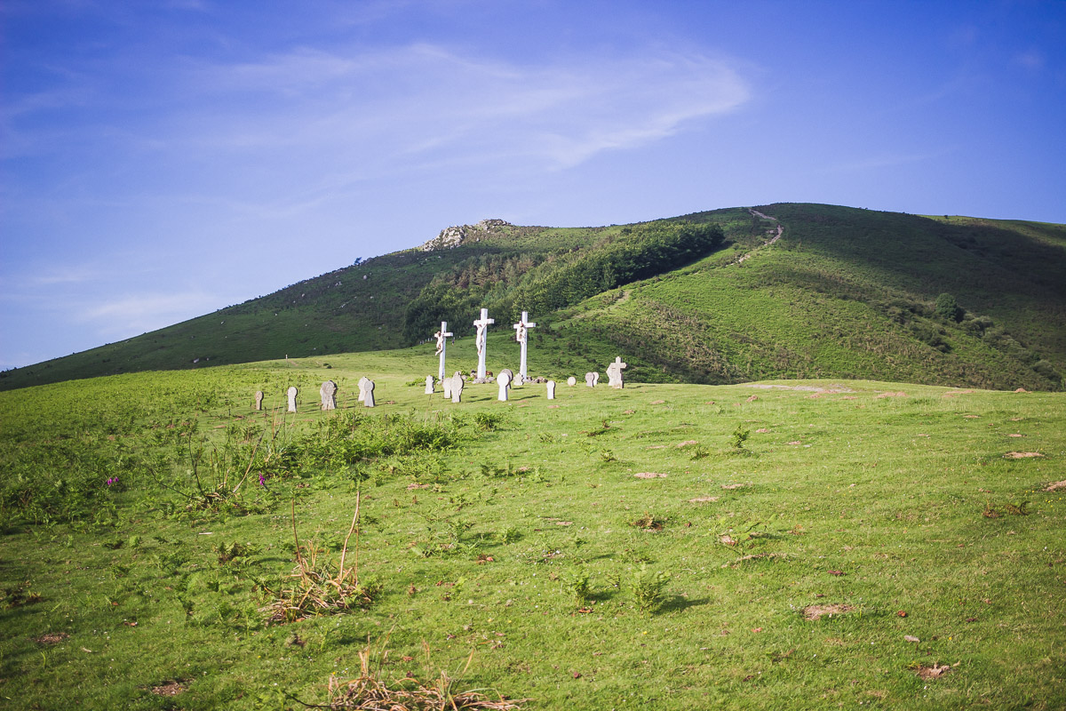
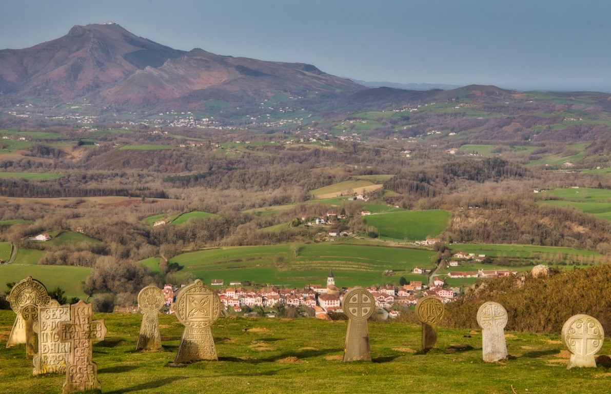
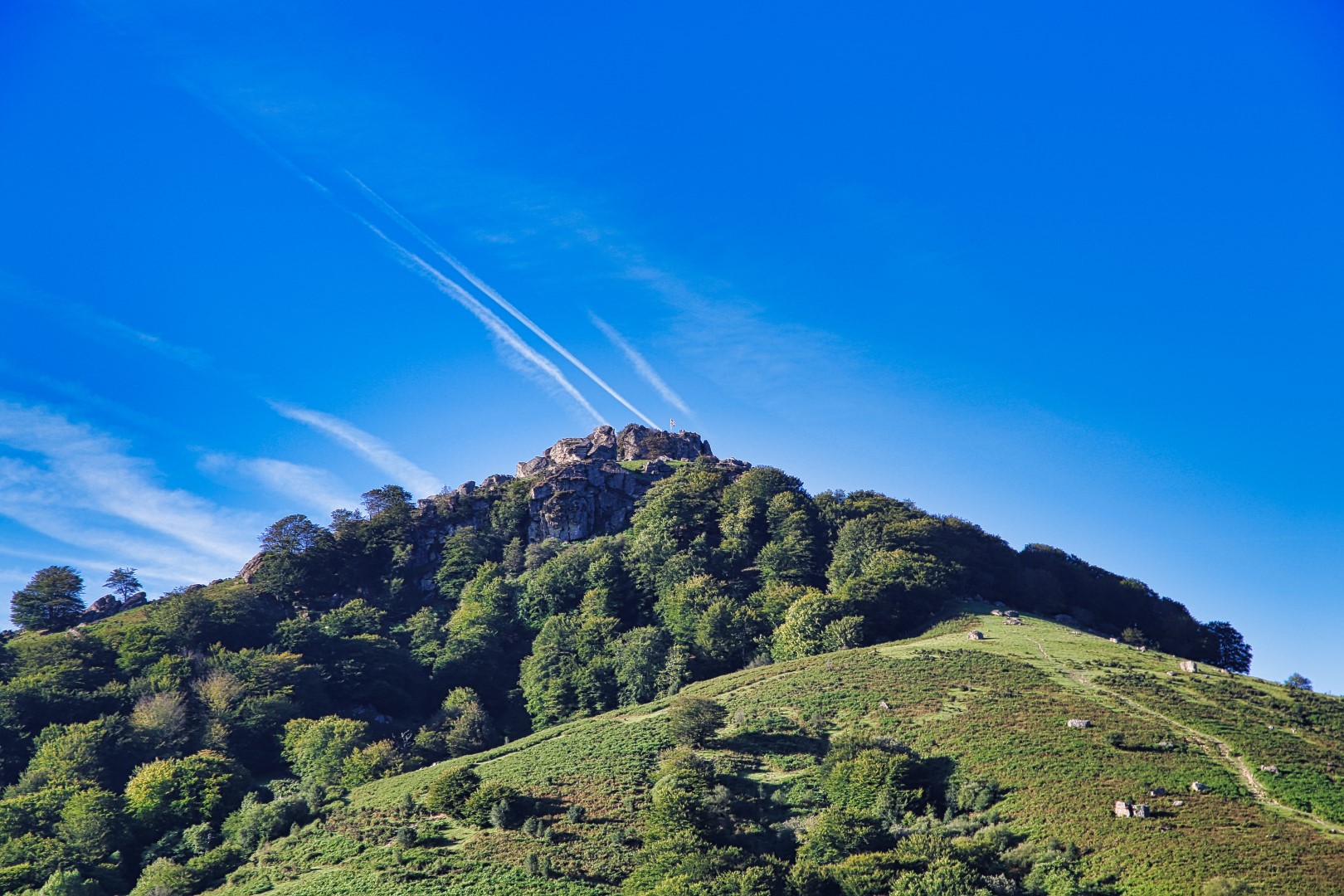
This is a trail offering beautiful landscapes. The path leads to the Pic du Mondarrain where the 360° view is spectacular.
This is a very popular trail in the area.

Already more than 200,000 users!
Uphill
405m
Highest point
731m
Downhill
405m
Lowest point
349m
Route type
Loop
Download the map on your smartphone to save battery and rest assured to always keep access to the route, even without signal.
Includes IGN France and Swisstopo.
I indicate whether dogs are allowed or prohibited on this trail
All year
4 ratings
Also enjoy:

Already more than 200,000 users!