Uphill
434m
Length
8km
Duration
3h30min
Elev gain
434m
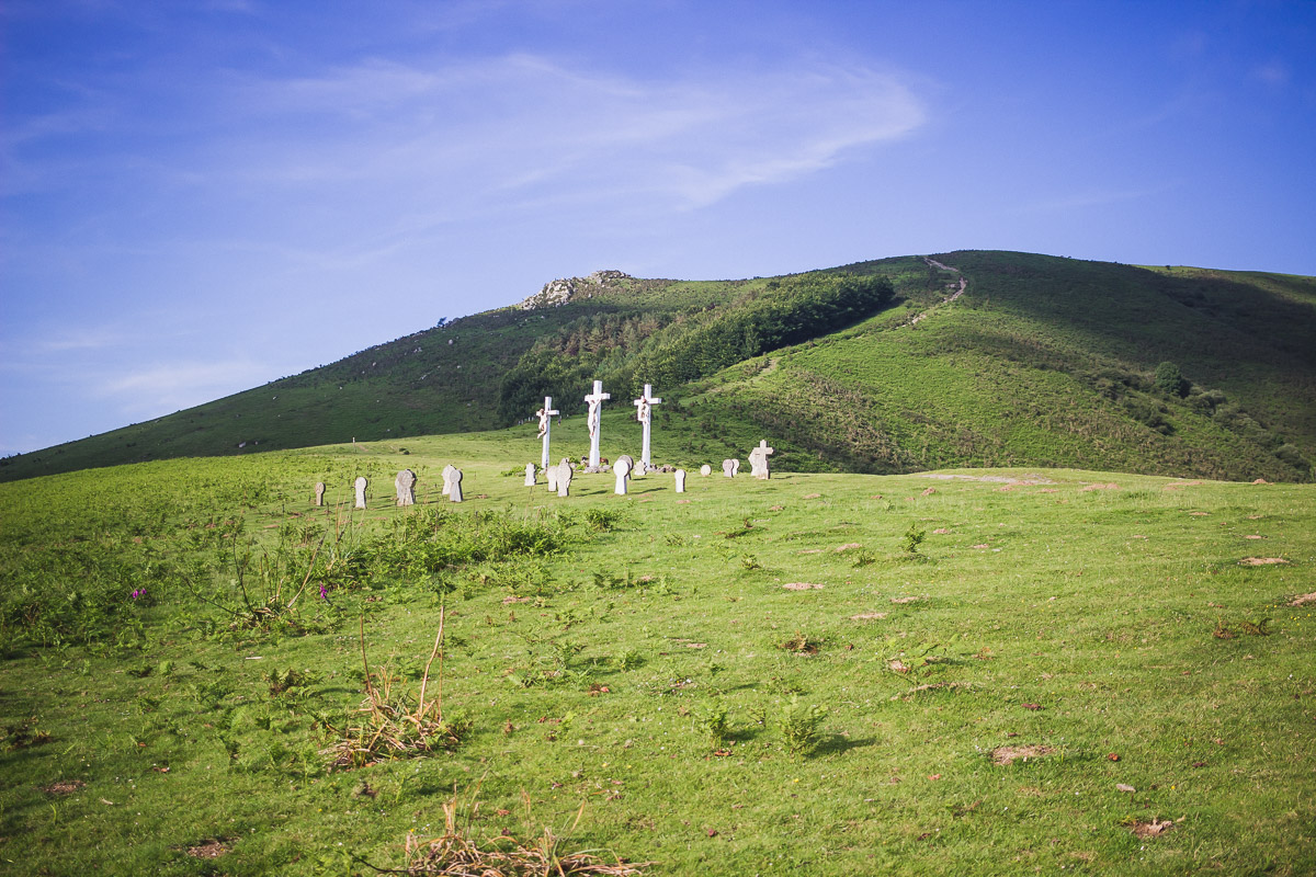
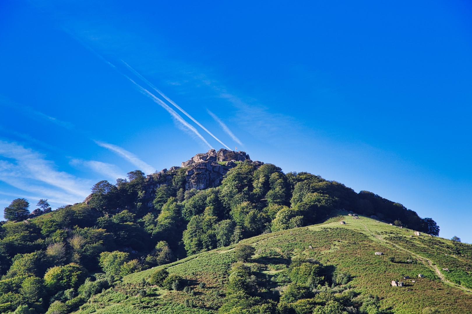
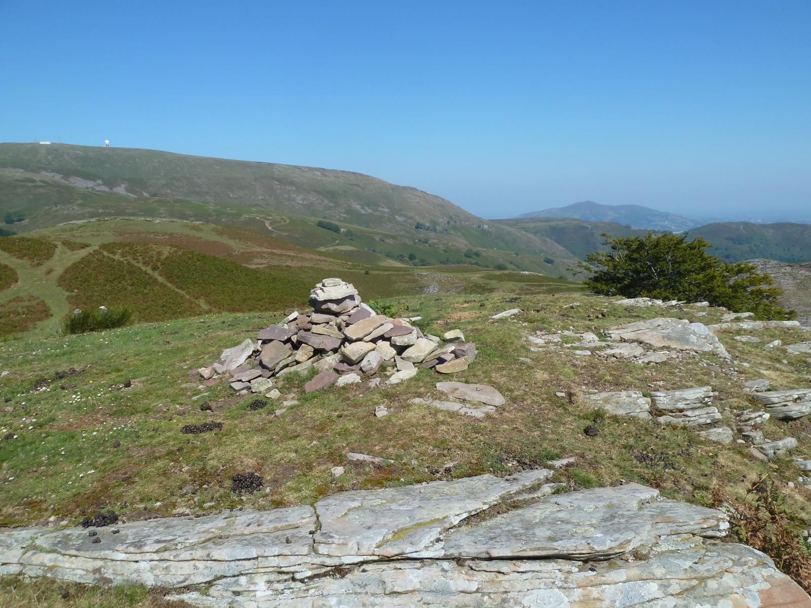
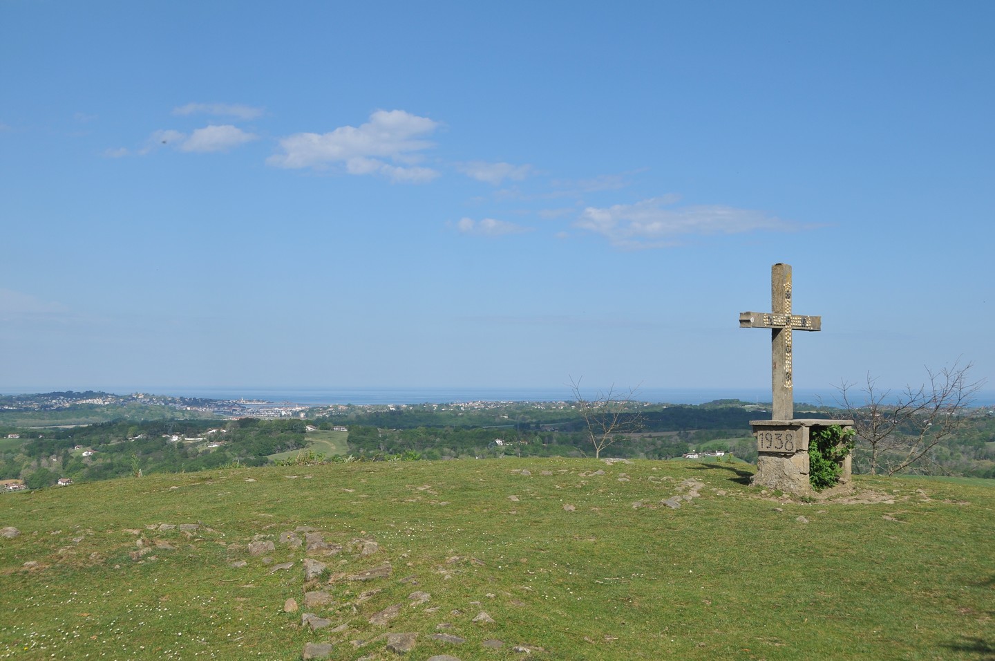
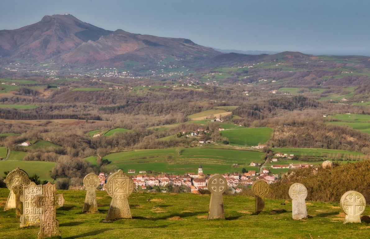
Nice hike from Aïnhoa, a village on the way to Saint Jacques de Compostela. The path winds through the foothills of the Errebi and offers lovely views of the valley. Very nice hike between pastures and groves.

Already more than 200,000 users!
Uphill
434m
Highest point
444m
Downhill
434m
Lowest point
108m
Route type
Loop
Download the map on your smartphone to save battery and rest assured to always keep access to the route, even without signal.
Includes IGN France and Swisstopo.
I indicate whether dogs are allowed or prohibited on this trail
All year
3 ratings
Also enjoy:

Already more than 200,000 users!