Uphill
281m
Length
7km
Duration
2h30min
Elev gain
281m
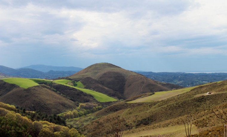
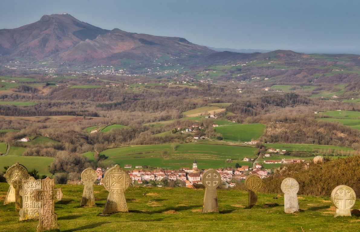
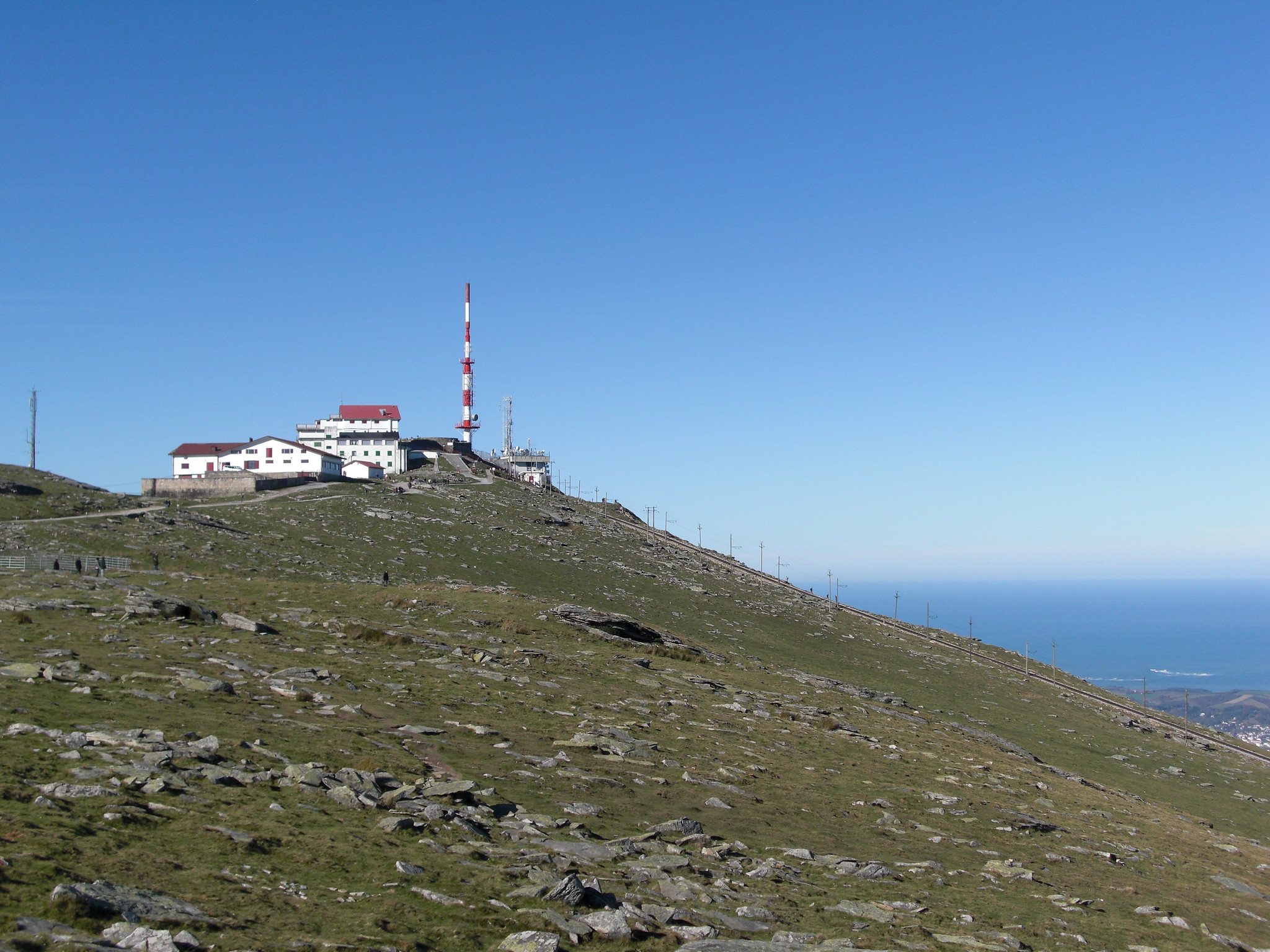
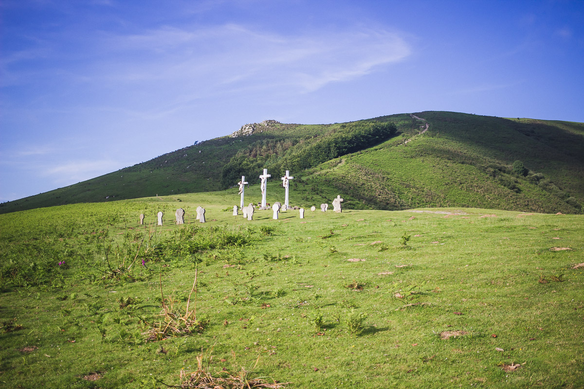
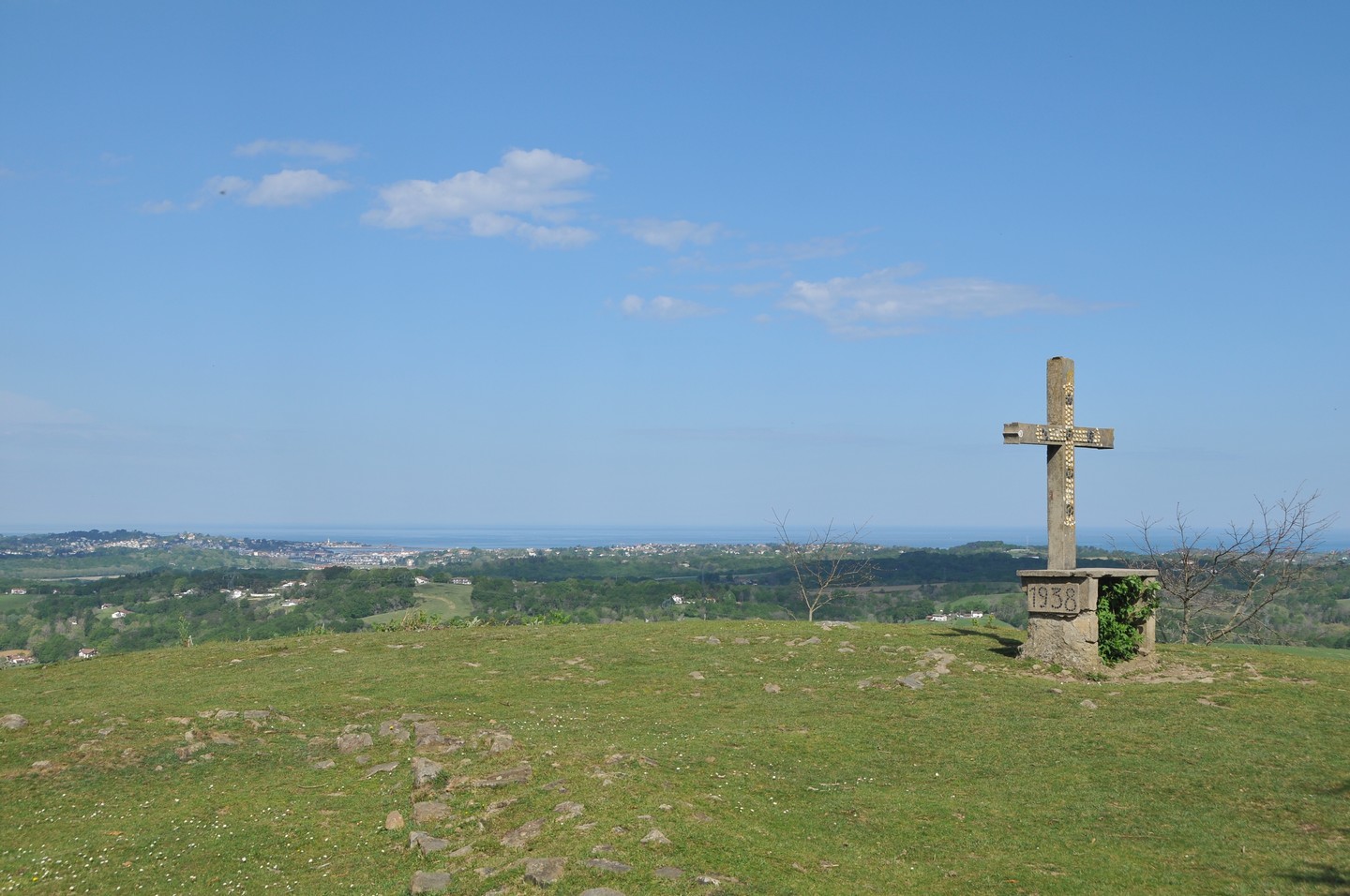
Starting from the banks of the Nivelle, this is a pretty hike on the hills of Ibarron. The path crosses small meadows before arriving at the cross of Sainte-Barbe. At the top, the view of the Basque countryside is superb. With a bit of luck, it is possible to come across pottoks.

Already more than 200,000 users!
Uphill
281m
Highest point
179m
Downhill
281m
Lowest point
21m
Route type
Loop
Download the map on your smartphone to save battery and rest assured to always keep access to the route, even without signal.
Includes IGN France and Swisstopo.
I indicate whether dogs are allowed or prohibited on this trail
All year
5 ratings
Très joli point de vue
Chemin très calme en pleine nature
Prévoir de bonnes chaussures pour les montées qui sont parfois caillouteuses.
Also enjoy:

Already more than 200,000 users!