Uphill
773m
Length
9km
Duration
5h30min
Elev gain
773m
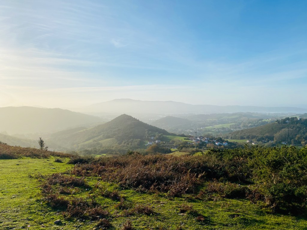
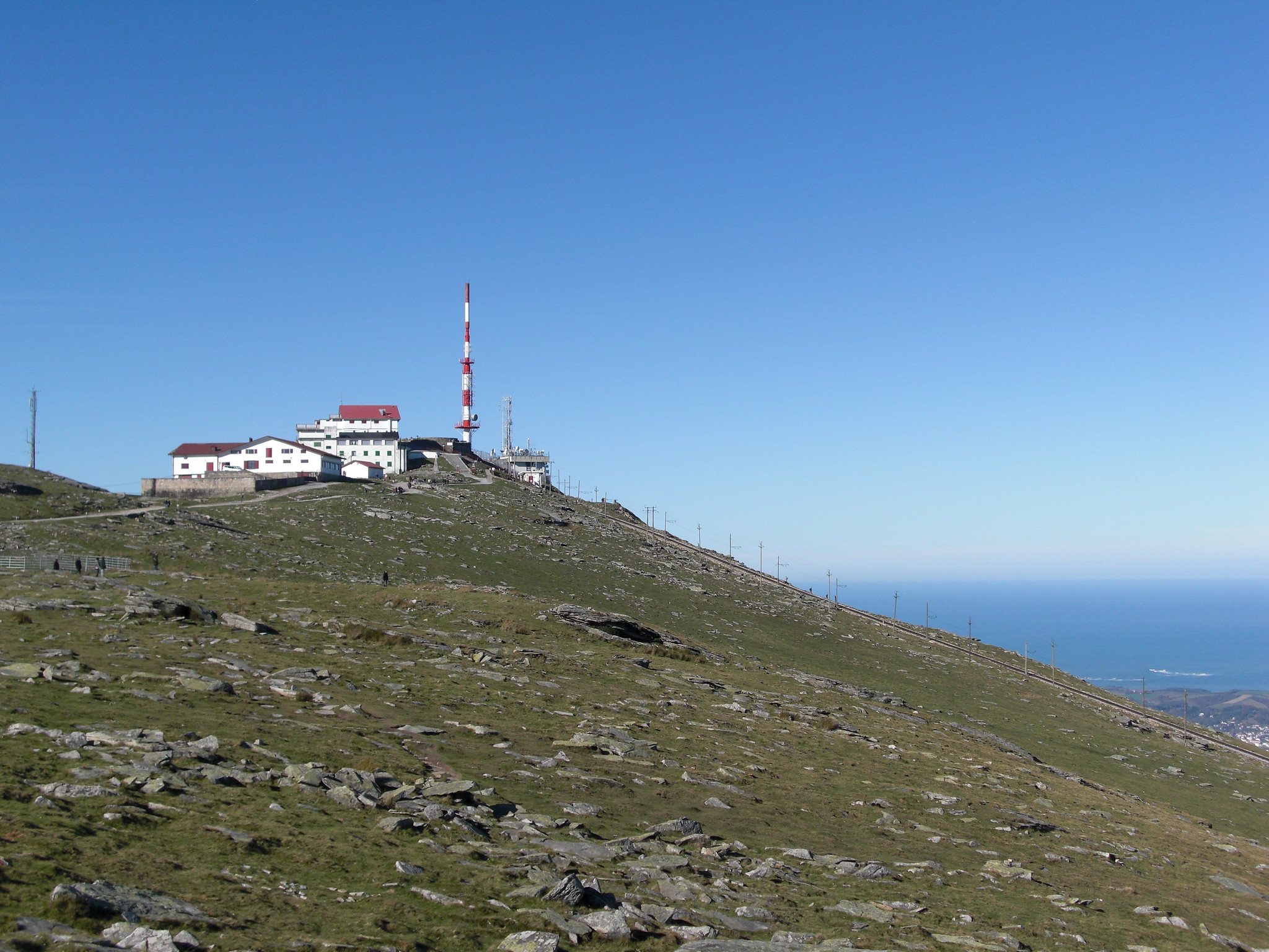
Departing from Olhette, this circuit allows you to climb 905 meters to one of the most famous peaks in the Basque Country: the Rhune. This one offers a nice view on the beginning of the Pyrenees, as well as on the Atlantic Ocean.

Already more than 200,000 users!
Uphill
773m
Highest point
891m
Downhill
773m
Lowest point
114m
Route type
Loop
Download the map on your smartphone to save battery and rest assured to always keep access to the route, even without signal.
Includes IGN France and Swisstopo.
I indicate whether dogs are allowed or prohibited on this trail
All year
9 ratings
Superbe point de vue sur le Pays Basque ! Nous avons fait l’aller-retour à pied, mais un petit train permet de raccourcir la balade il me semble.
Also enjoy:

Already more than 200,000 users!