Uphill
321m
Length
8km
Duration
3h
Elev gain
321m
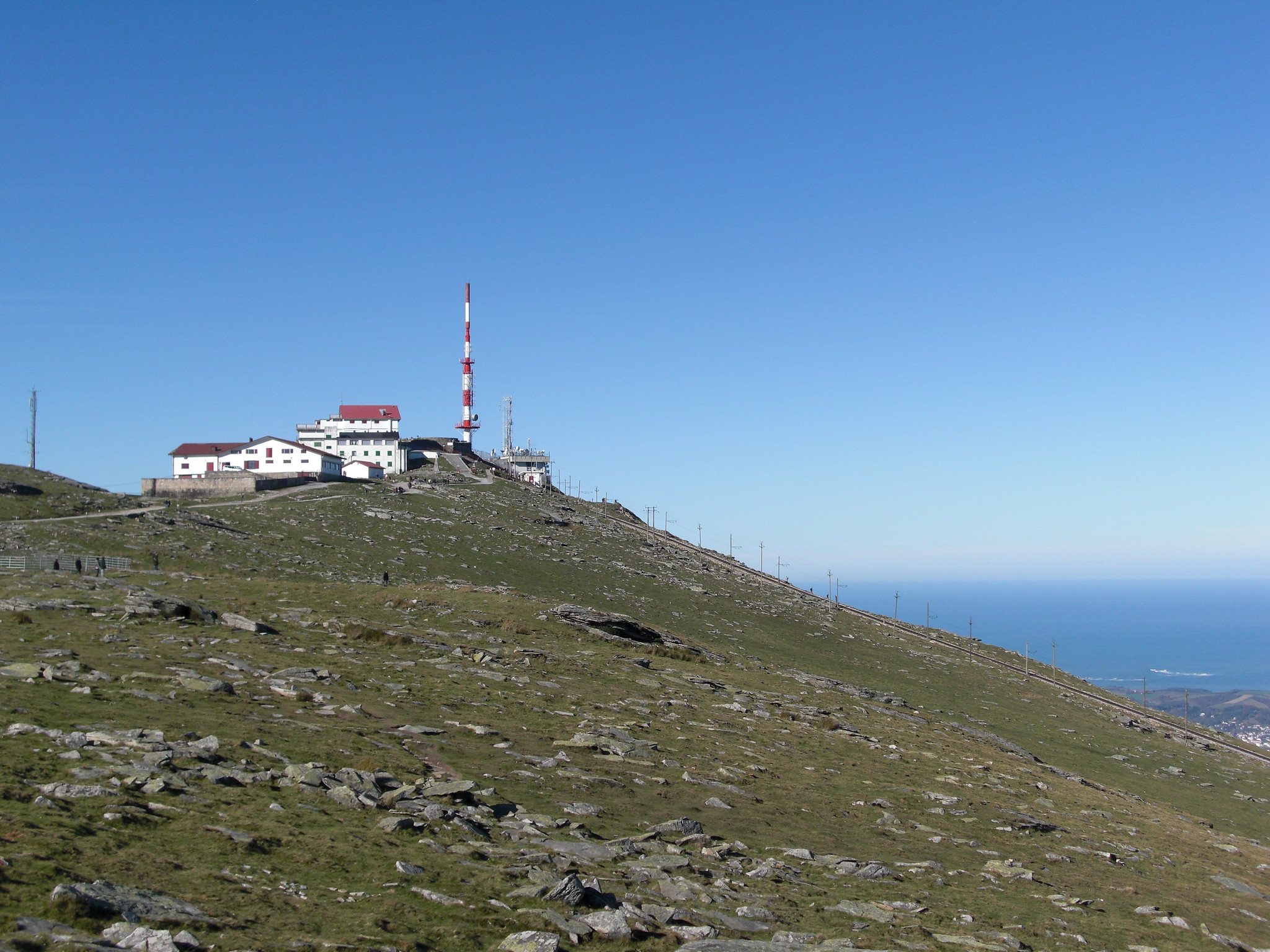
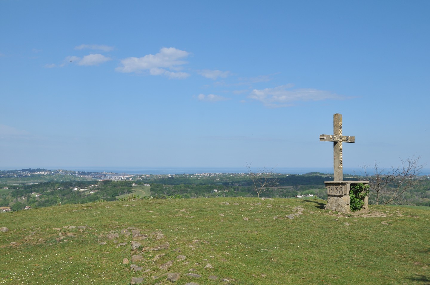
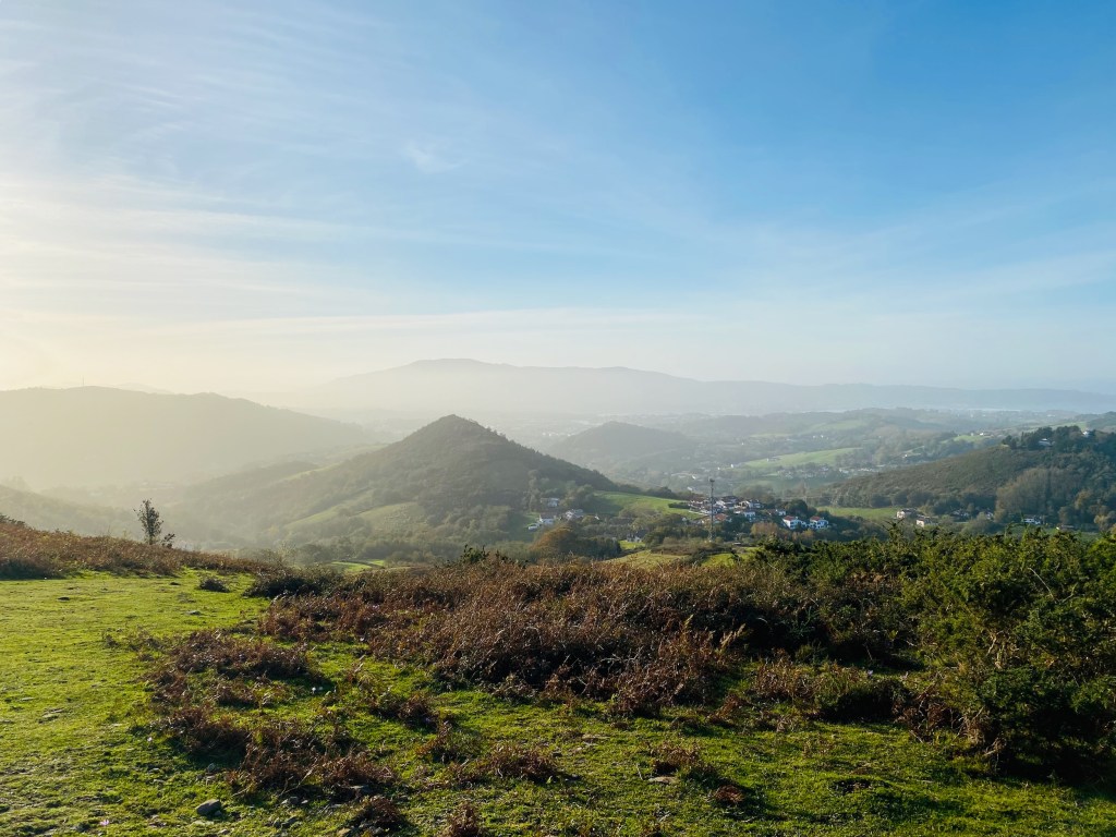
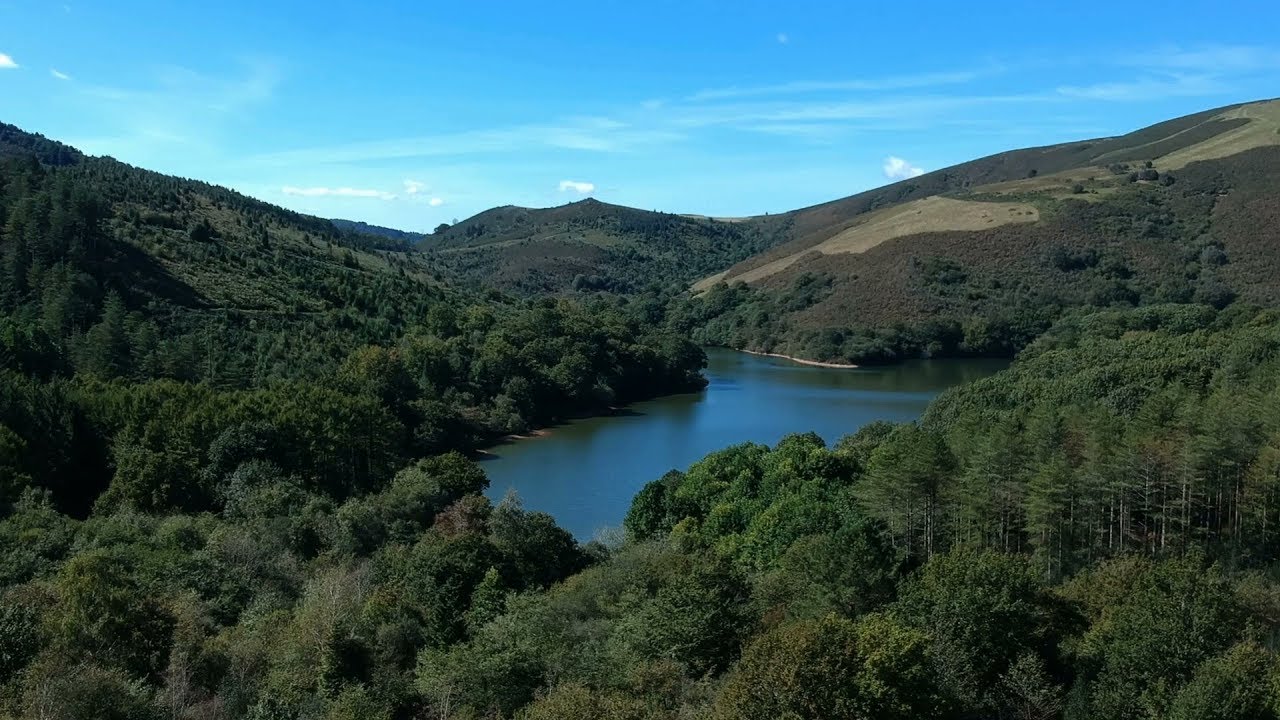
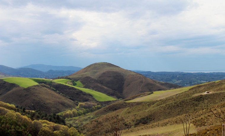
Departing from Ascain, this is a short loop that allows you to climb the Suhalmendi and enjoy a beautiful view, from the Pyrenees to the ocean.

Already more than 200,000 users!
Uphill
321m
Highest point
299m
Downhill
321m
Lowest point
12m
Route type
Loop
Download the map on your smartphone to save battery and rest assured to always keep access to the route, even without signal.
Includes IGN France and Swisstopo.
5 ratings
Randonnée agréable et accessible même aux débutants. Les paysages sont magnifiques et la rencontre avec les chevaux sur le chemin rend cette excursion unique !
Vue à 360 degrés du pays-basque. De nombreux chevaux en liberté. Ce trail mérite une étoile de plus ! 👌
Also enjoy:

Already more than 200,000 users!