Uphill
309m
France > Nouvelle-Aquitaine > Pyrénées-Atlantiques
Length
7km
Duration
2h30min
Elev gain
309m
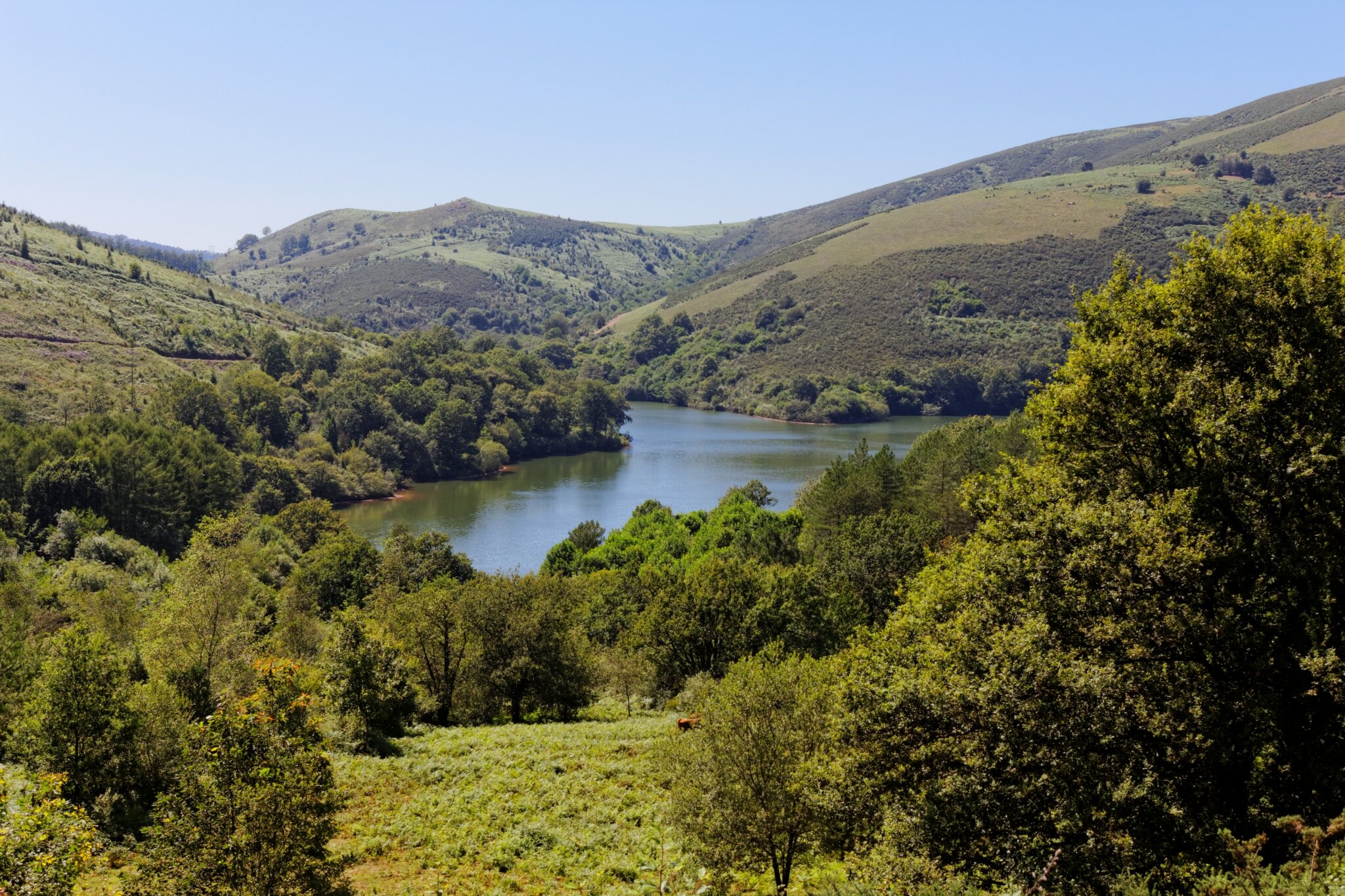
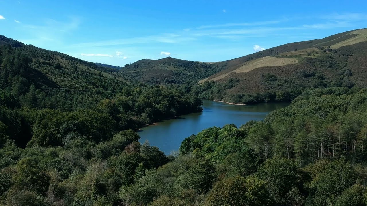
This hike, mainly in the forest, allows you to go around Lake Choldokogaina. This is a reservoir where swimming is not allowed.

Already more than 200,000 users!
Uphill
309m
Highest point
307m
Downhill
309m
Lowest point
112m
Route type
There and back
Download the map on your smartphone to save battery and rest assured to always keep access to the route, even without signal.
Includes IGN France and Swisstopo.
I indicate whether dogs are allowed or prohibited on this trail
All year
2 ratings
Also enjoy:

Already more than 200,000 users!