Uphill
104m

Length
4km
Duration
1h30min
Elev gain
104m
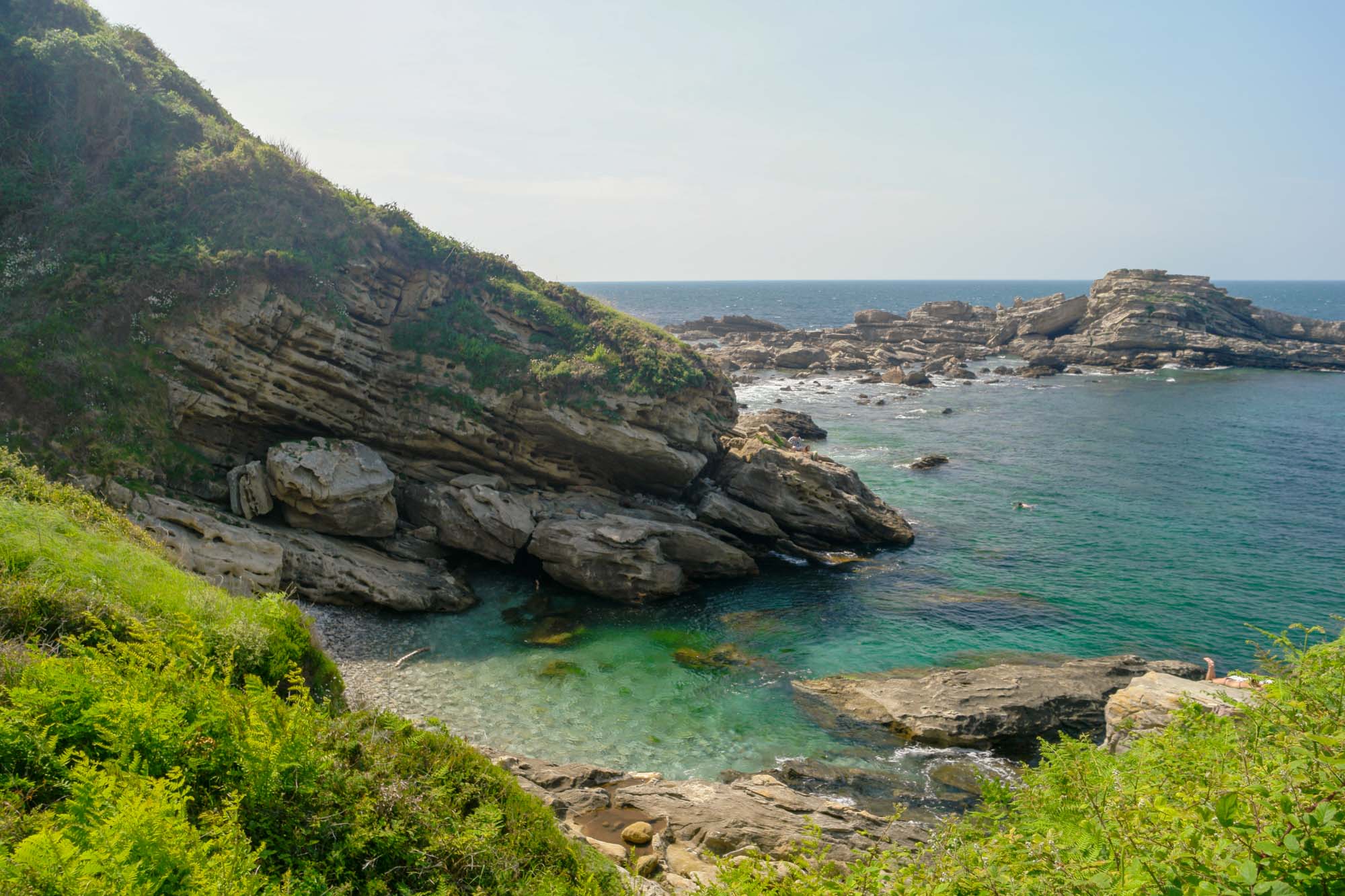
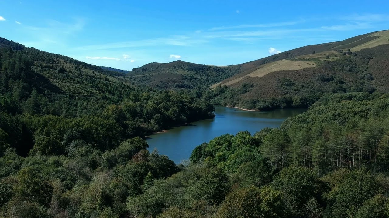
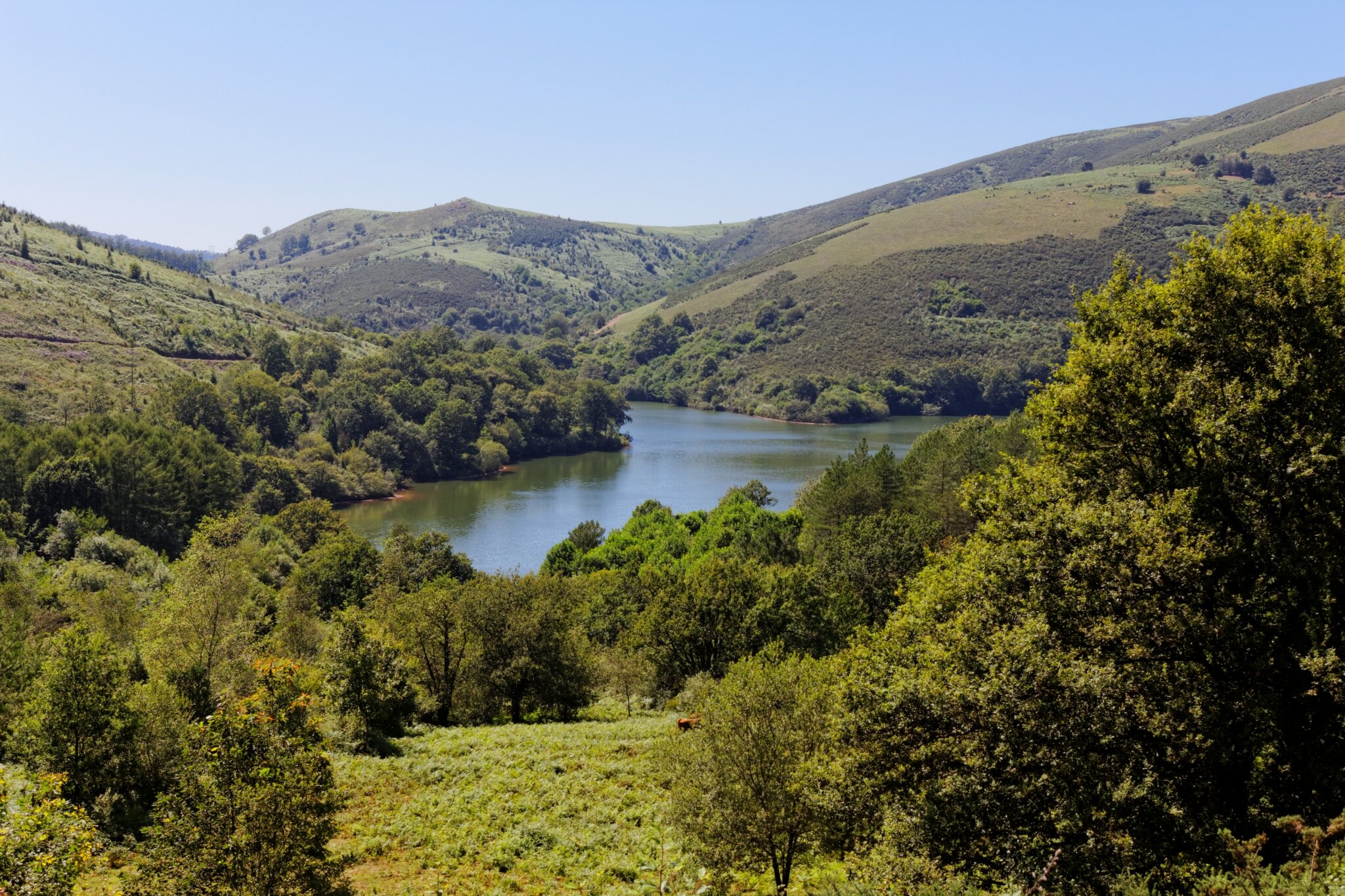
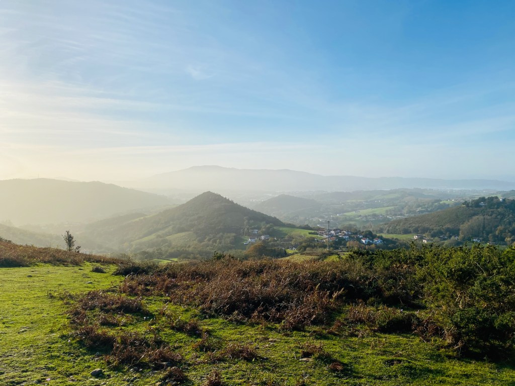
Walk in a preserved area between moors, cliffs and small coves. Nice views of the sea and the Pyrenees.

Already more than 200,000 users!
Uphill
104m
Highest point
68m
Downhill
104m
Lowest point
7m
Route type
Loop
Download the map on your smartphone to save battery and rest assured to always keep access to the route, even without signal.
Includes IGN France and Swisstopo.
3 ratings
Also enjoy:

Already more than 200,000 users!