Uphill
731m
Length
17km
Duration
6h
Elev gain
731m
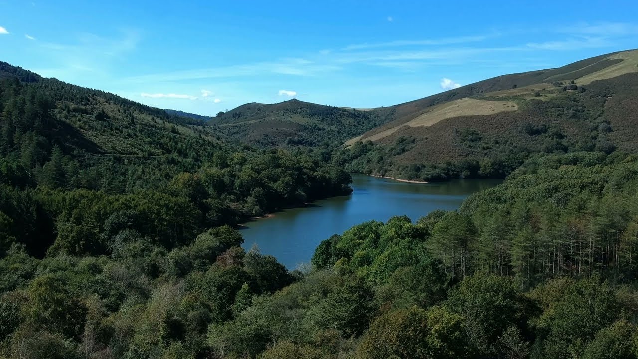
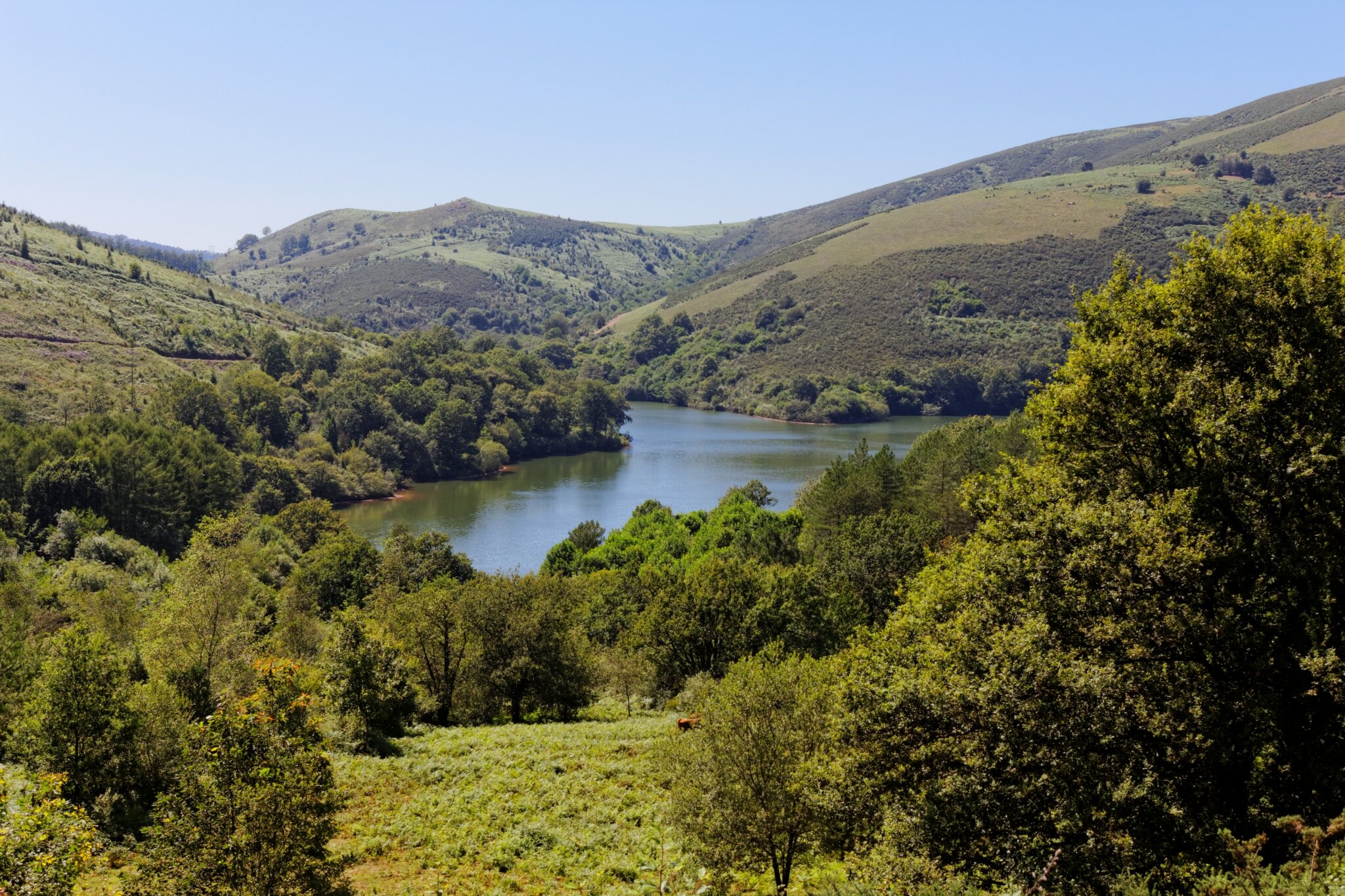
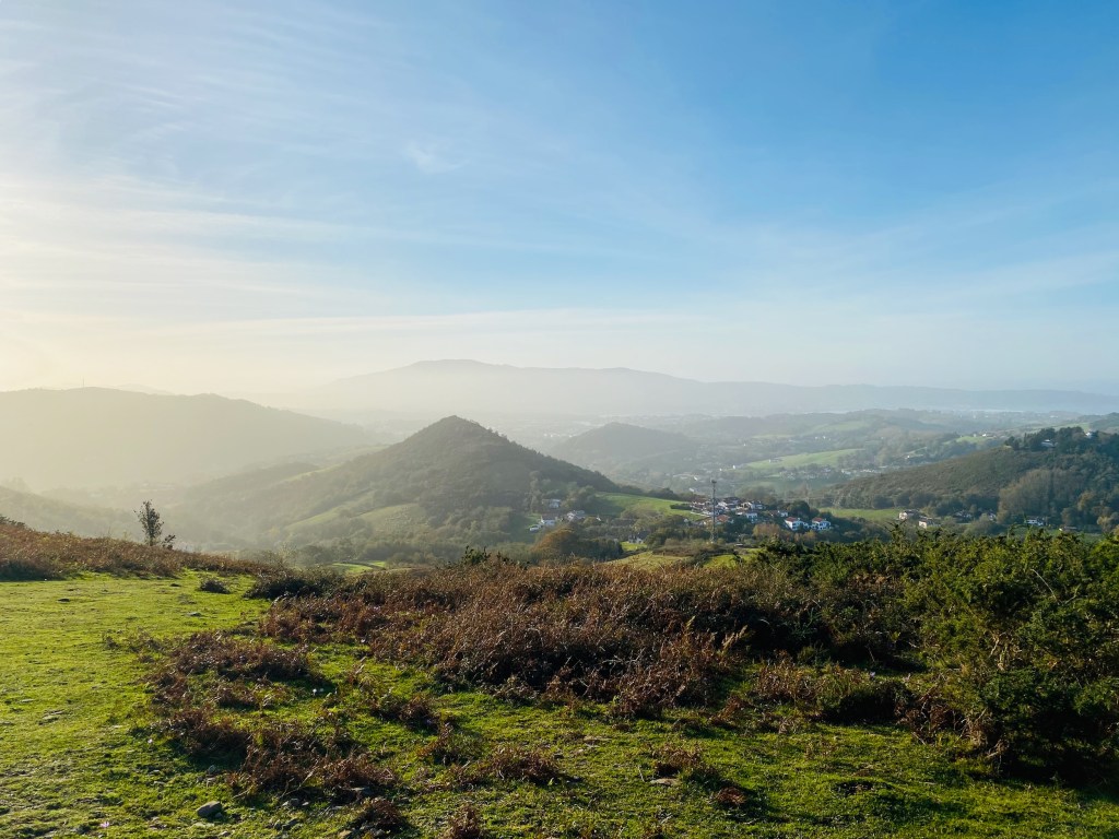
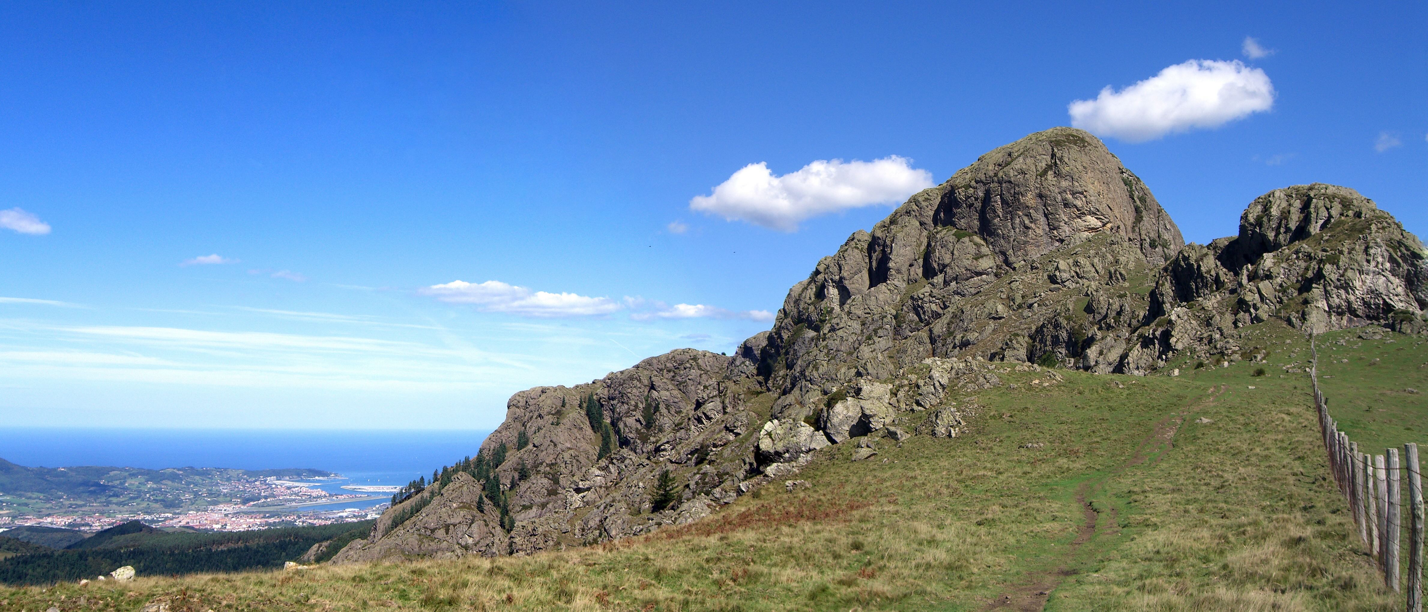
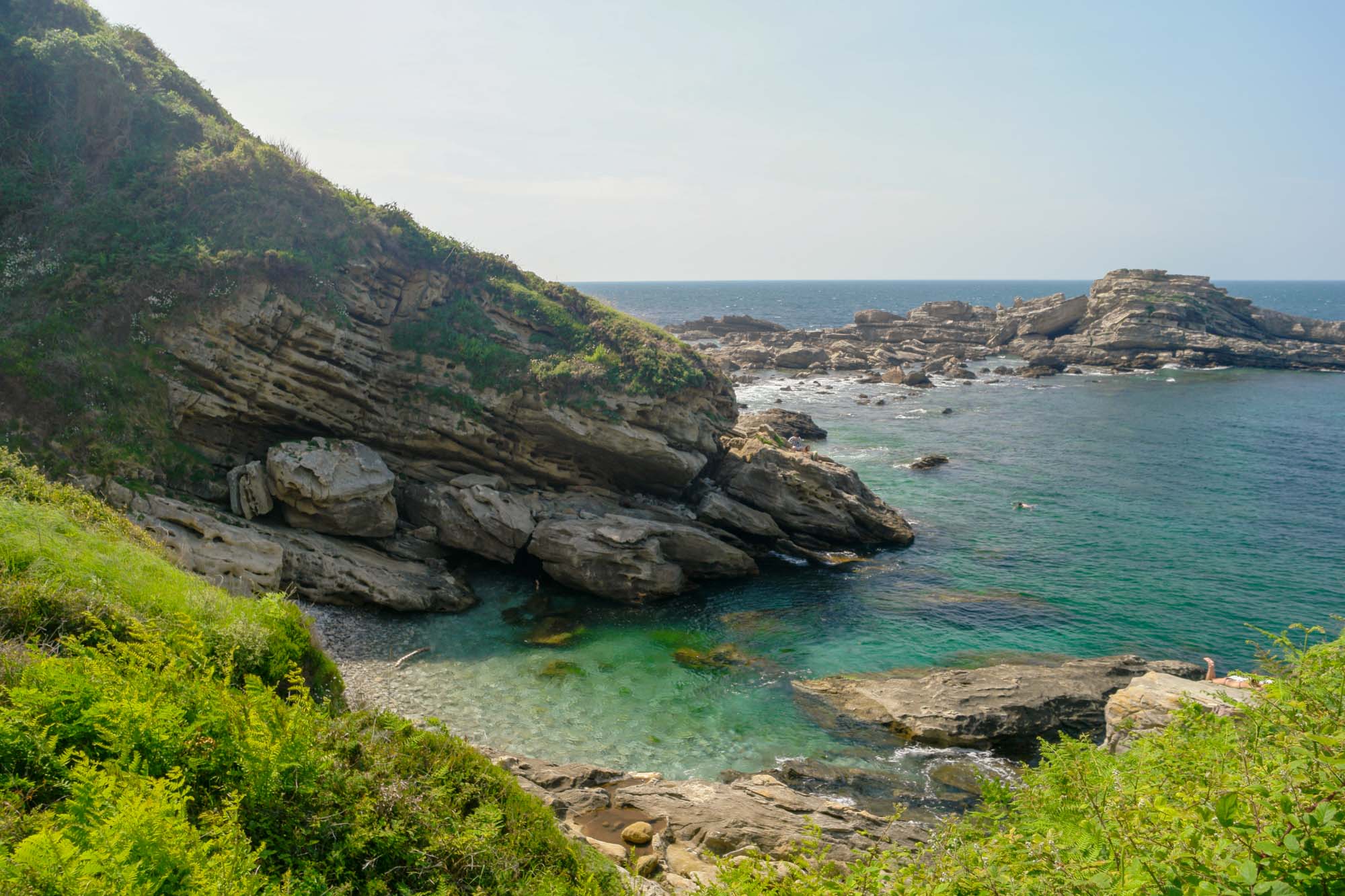
Departing from Hondarribia, this is a large loop trail that begins by skirting the ocean, before rising in the Jaizkibel massif to reach the Erramutz summit (386 m). The trail also passes by the Fort and Chapel of Guadalupe.

Already more than 200,000 users!
Uphill
731m
Highest point
385m
Downhill
731m
Lowest point
11m
Route type
Loop
Download the map on your smartphone to save battery and rest assured to always keep access to the route, even without signal.
Includes IGN France and Swisstopo.
I indicate whether dogs are allowed or prohibited on this trail
All year
5 ratings
Petite boucle faite le 30 juin au départ du sanctuaire de Guadalupe avec visorando. .puis coupe pour rejoindre le B4 ...pas mal de dénivelé ...225 m
Pas fait en entier, randonnée très belle le long de la côte.
Also enjoy:

Already more than 200,000 users!