Uphill
543m
Length
7km
Duration
4h
Elev gain
543m
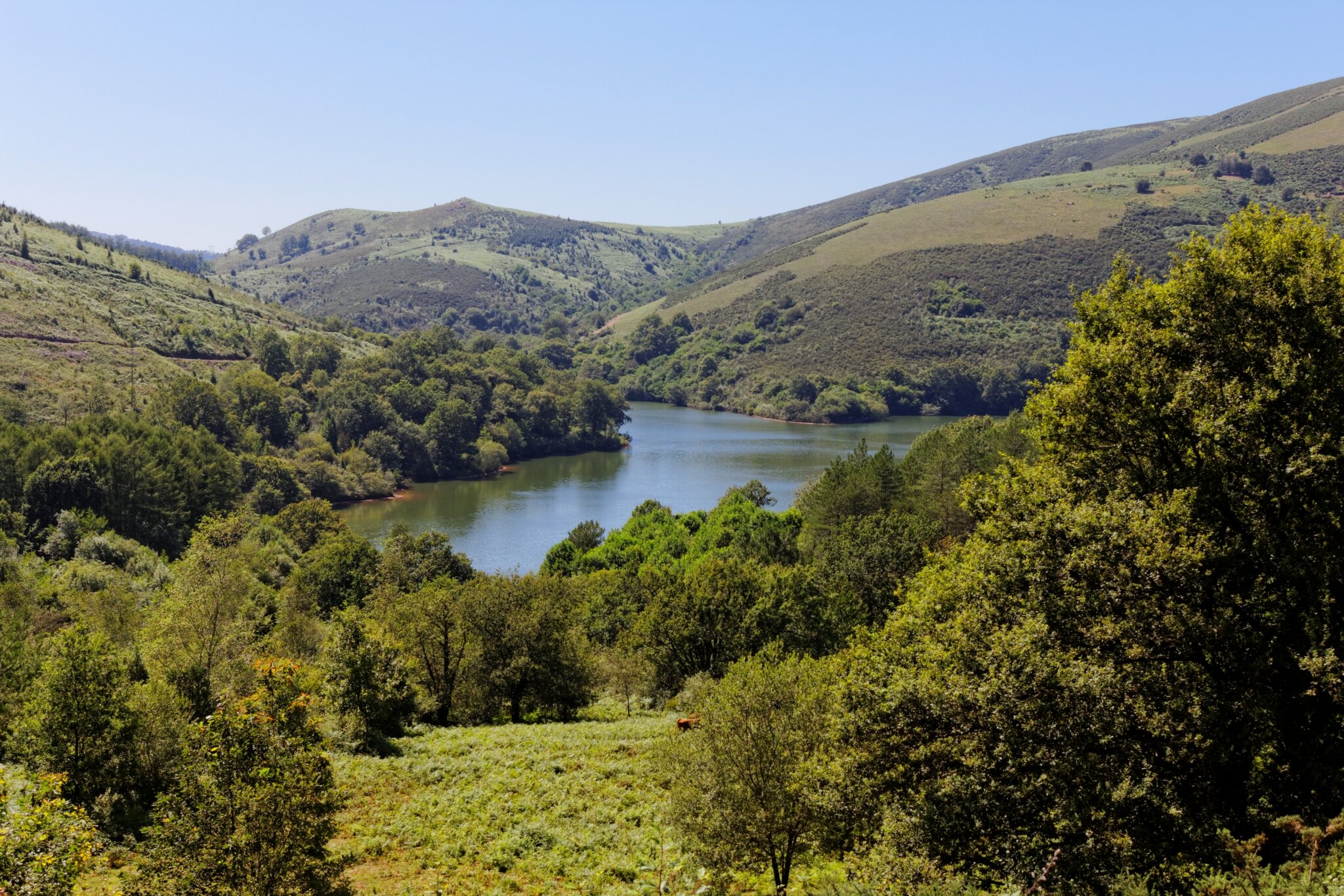
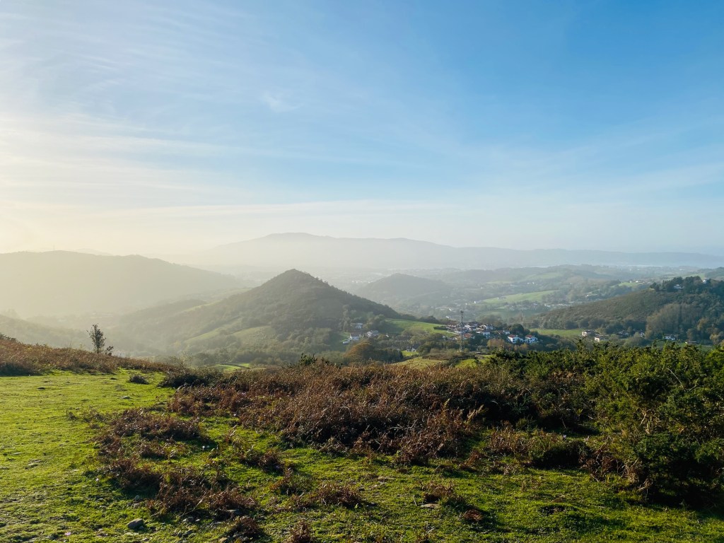
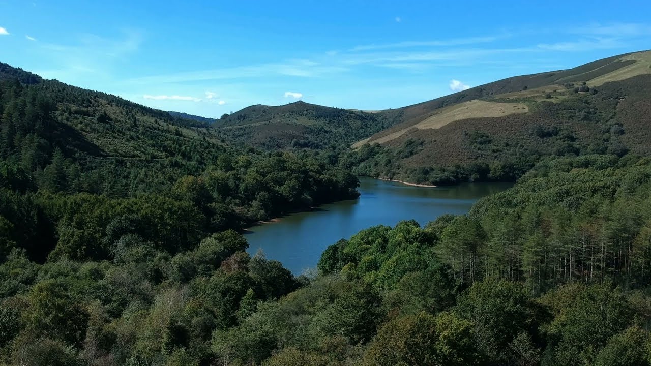
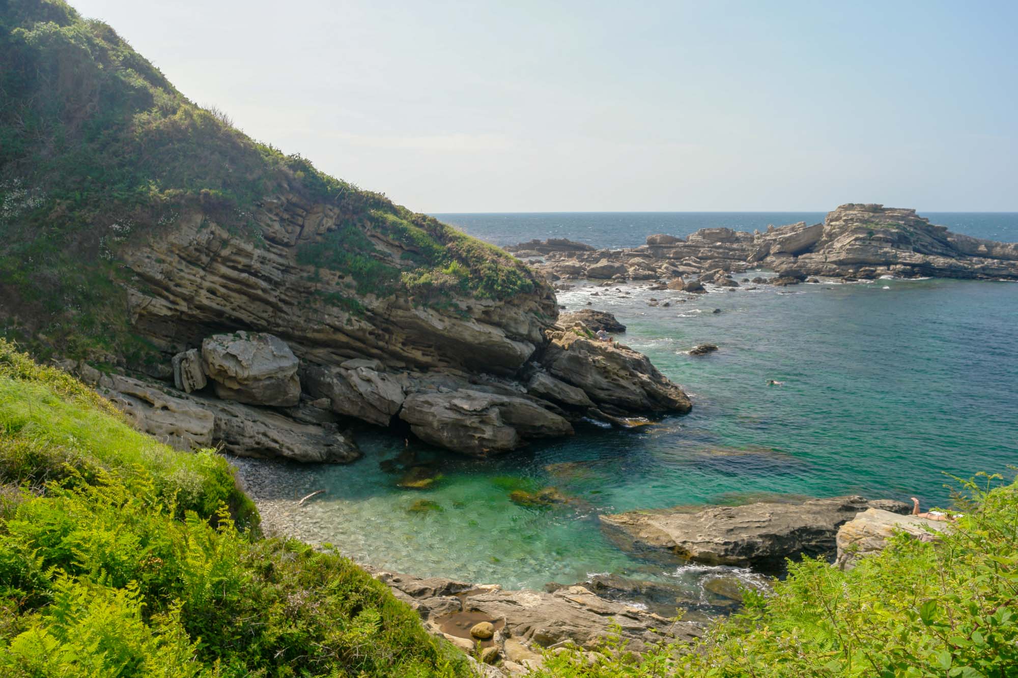
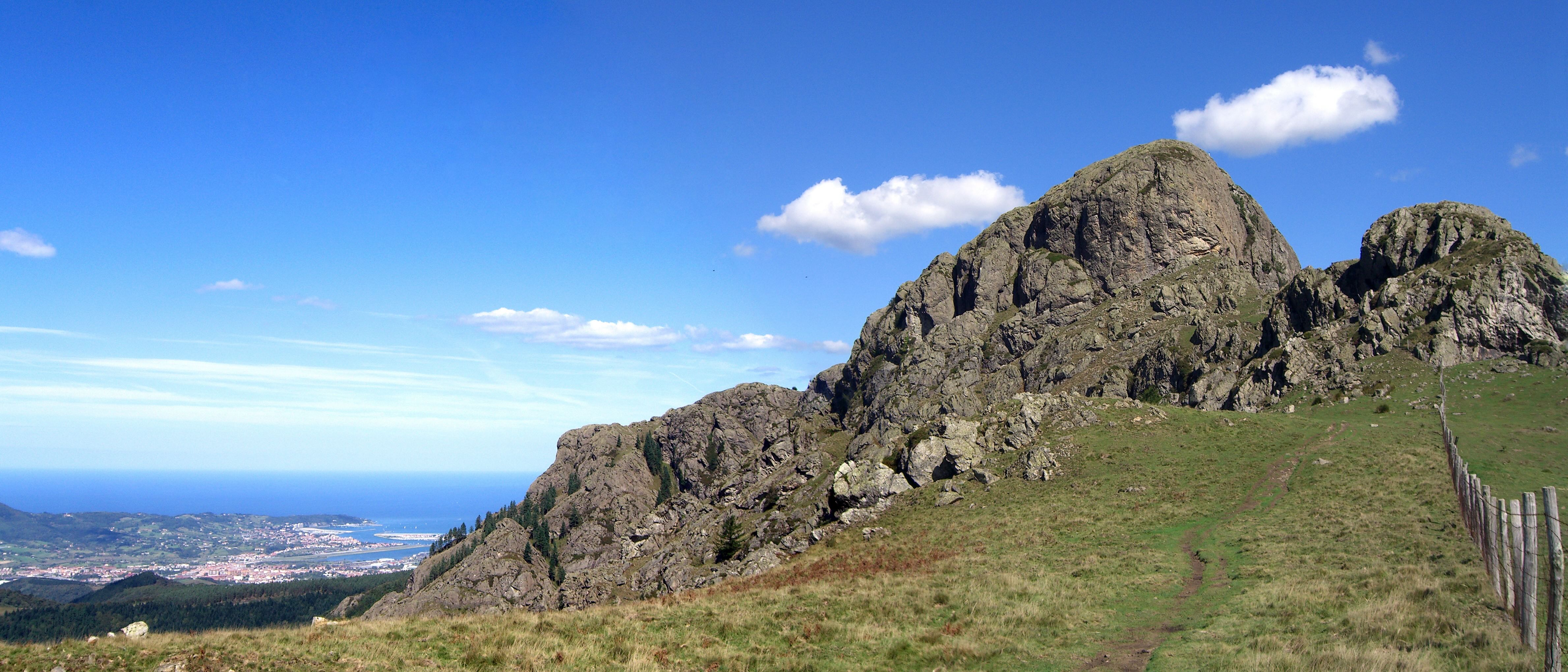
This is a beautiful hike with varied landscapes, between forest, mountain pastures, rocks and a crest line. Lovely views of the Basque coast and the Pyrenees.
The route passes through the peaks of Erroilbide, Txurrumurru and Irumugarriet, which form what we call "las Peñas de Haya" in Spanish, or "Aiako Harria" in Basque.

Already more than 200,000 users!
Uphill
543m
Highest point
786m
Downhill
543m
Lowest point
398m
Route type
Loop
Download the map on your smartphone to save battery and rest assured to always keep access to the route, even without signal.
Includes IGN France and Swisstopo.
I indicate whether dogs are allowed or prohibited on this trail
All year
2 ratings
Très belles vues, mais attention passages techniques, voir dangereux avec un peu d’escalade !
À déconseiller avec enfants et personnes avec le vertige !
Also enjoy:

Already more than 200,000 users!