Uphill
411m
France > Nouvelle-Aquitaine > Pyrénées-Atlantiques
Length
7km
Duration
3h
Elev gain
411m
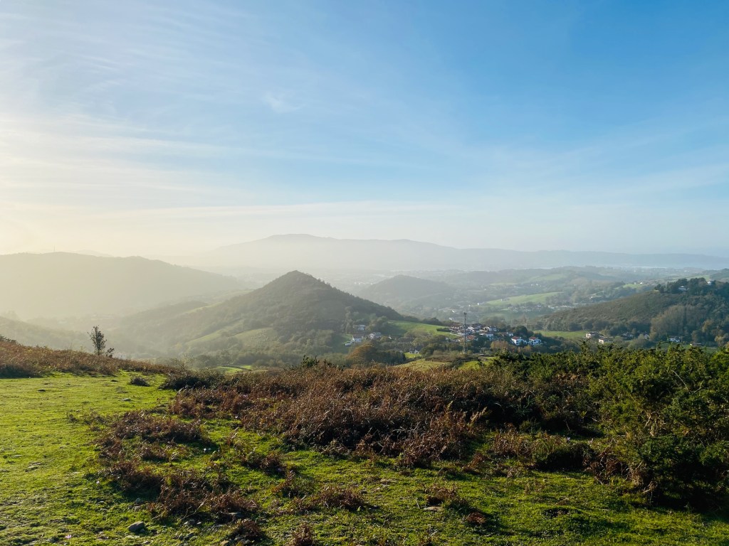
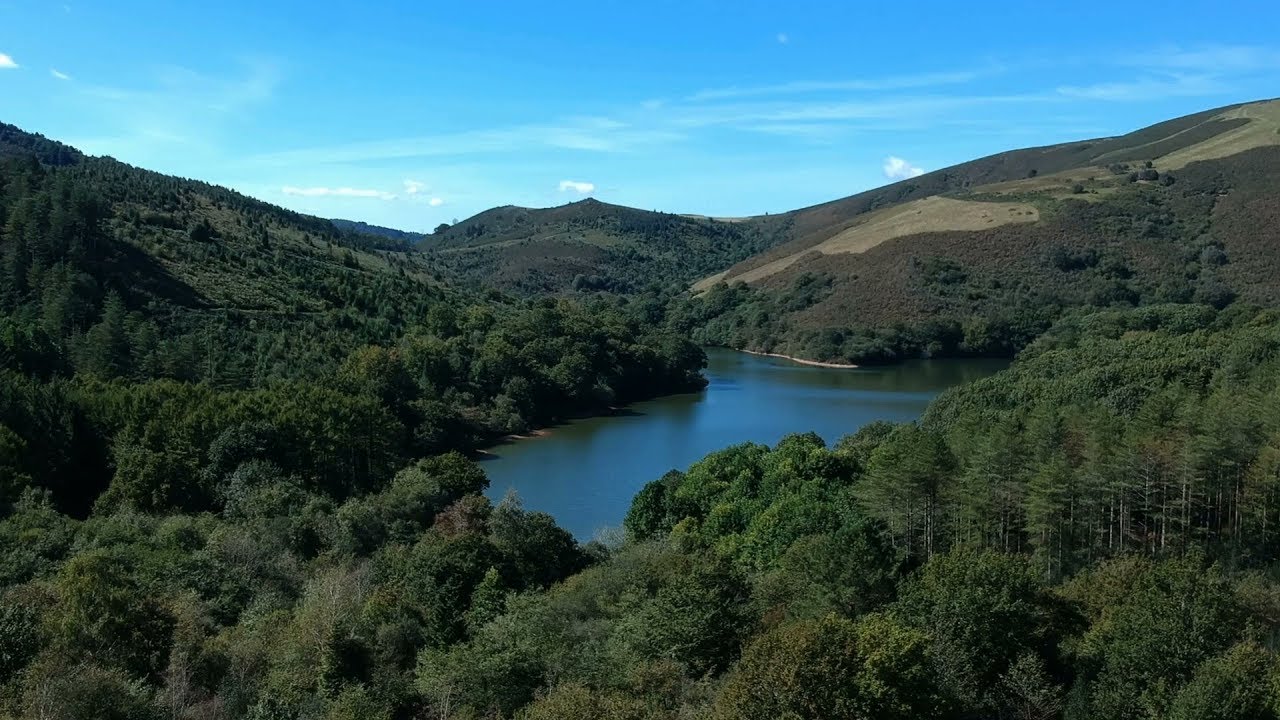
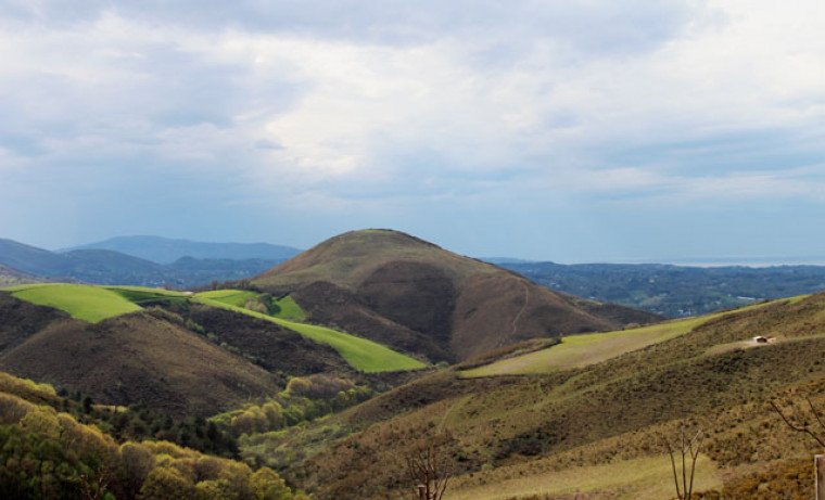
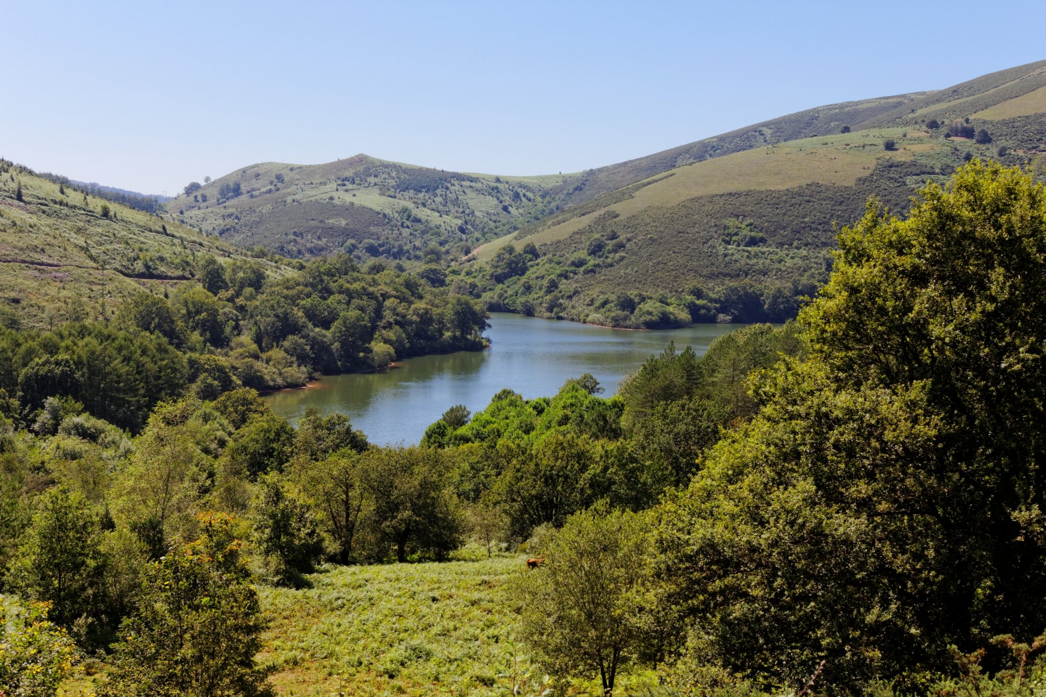
Departing from the Ibardin pass, this walk alternates between meadows and forests before reaching Lake Choldokogaina. Summits are modest but still offer beautiful panoramas.

Already more than 200,000 users!
Uphill
411m
Highest point
541m
Downhill
411m
Lowest point
233m
Route type
Loop
Download the map on your smartphone to save battery and rest assured to always keep access to the route, even without signal.
Includes IGN France and Swisstopo.
I indicate whether dogs are allowed or prohibited on this trail
All year
1 rating
Also enjoy:

Already more than 200,000 users!