Uphill
295m

Length
7km
Duration
2h30min
Elev gain
295m
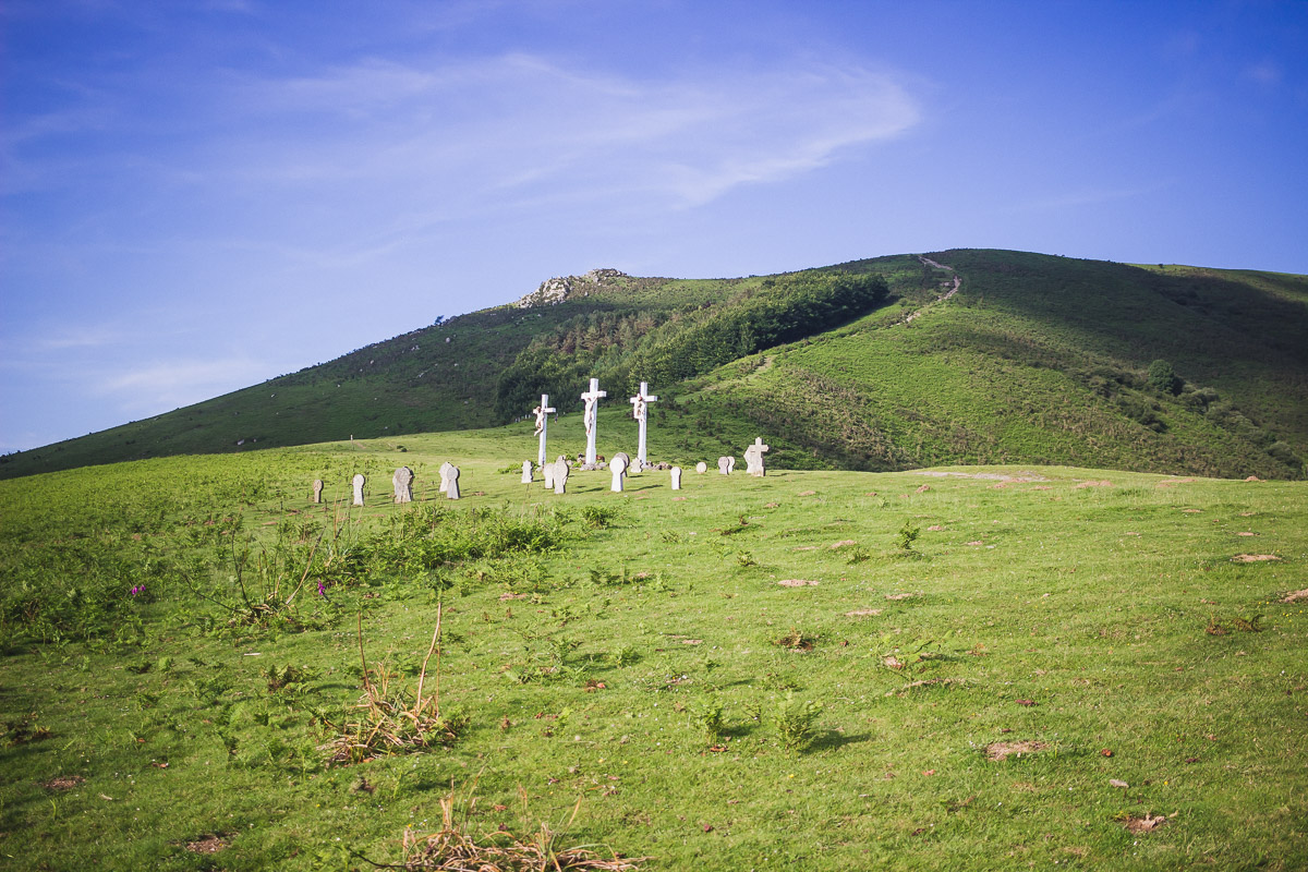
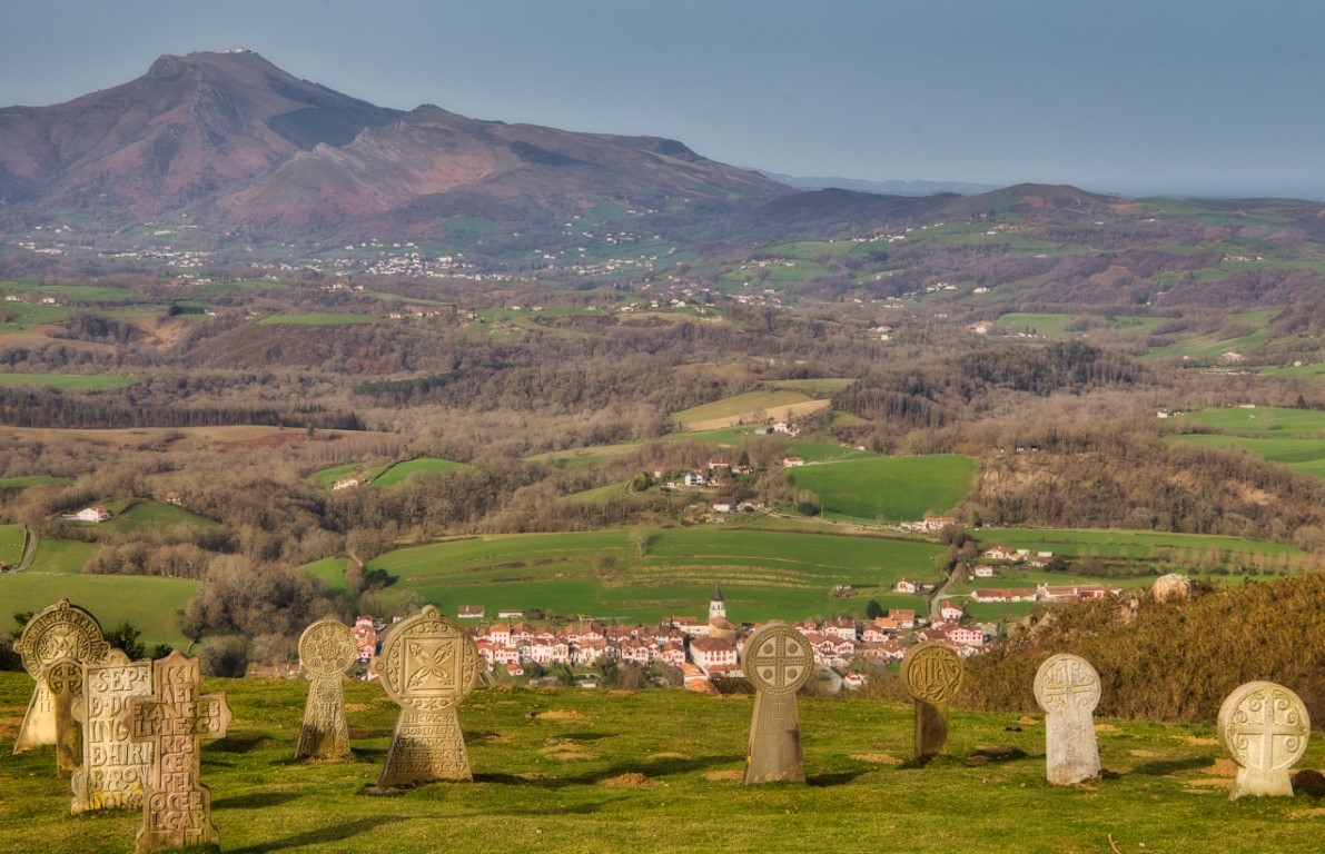
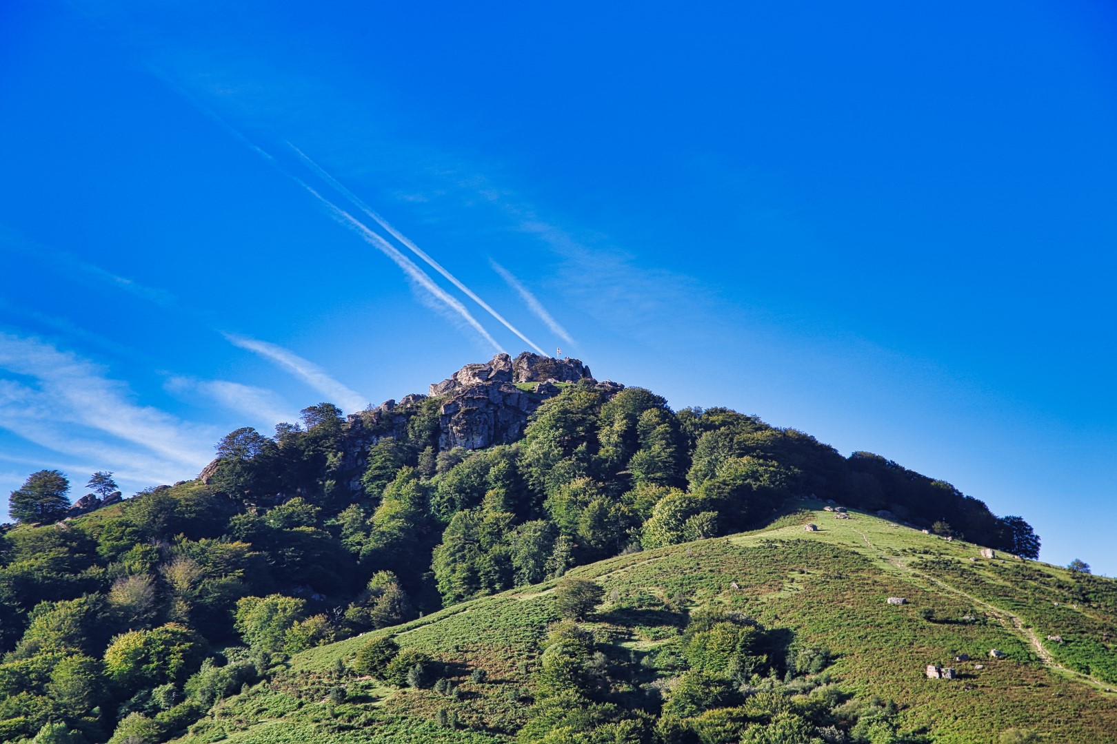
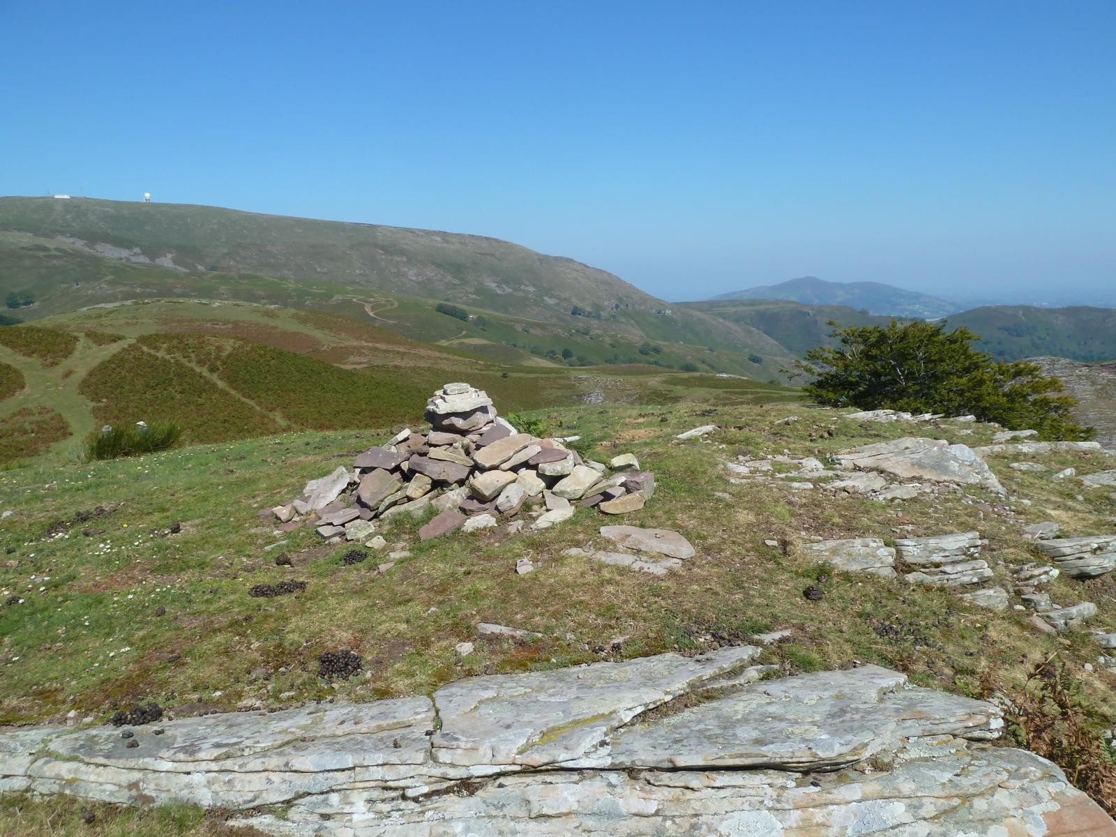
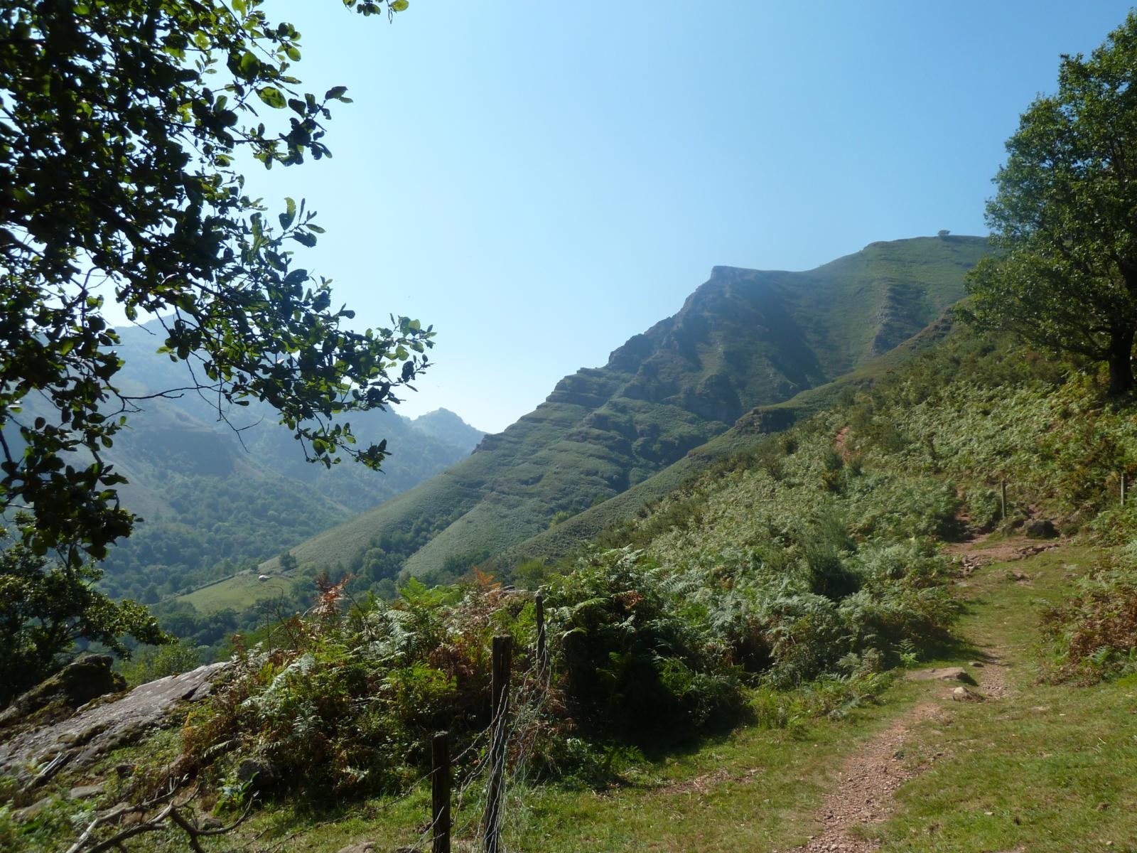
Here is a hike offering a beautiful view of the Basque hinterland, and taking a small path on the mountainside. With a bit of luck, it is possible to see wild cows (betizu) and a few horses roaming free.

Already more than 200,000 users!
Uphill
295m
Highest point
519m
Downhill
295m
Lowest point
284m
Route type
Loop
Download the map on your smartphone to save battery and rest assured to always keep access to the route, even without signal.
Includes IGN France and Swisstopo.
I indicate whether dogs are allowed or prohibited on this trail
All year
3 ratings
Also enjoy:

Already more than 200,000 users!