Uphill
878m
Length
11km
Duration
6h
Elev gain
878m
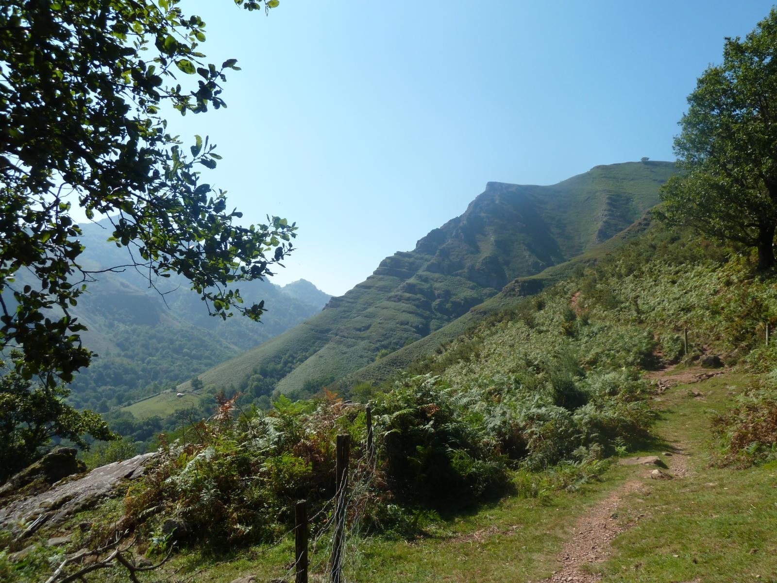
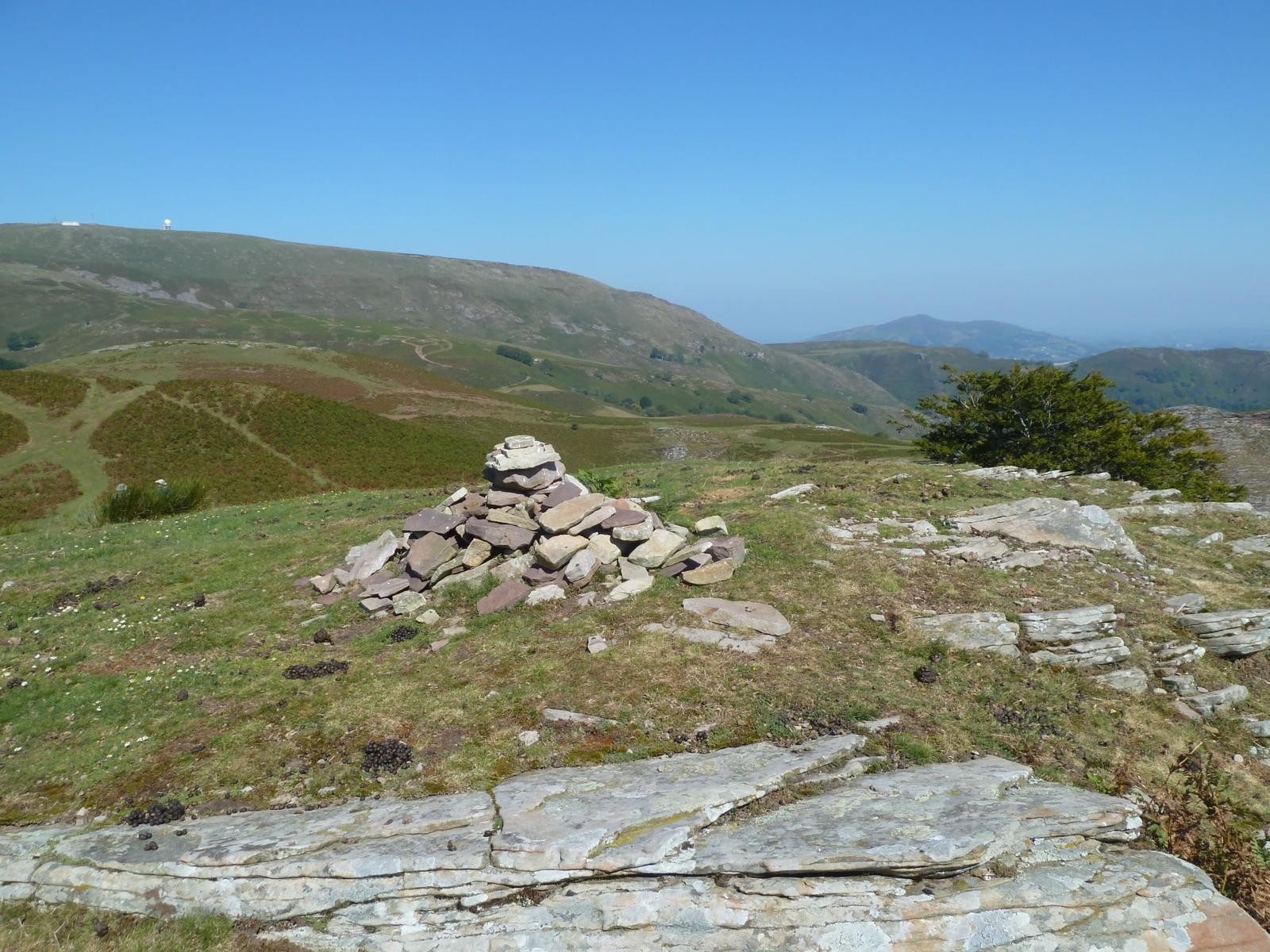
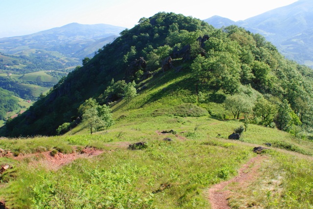
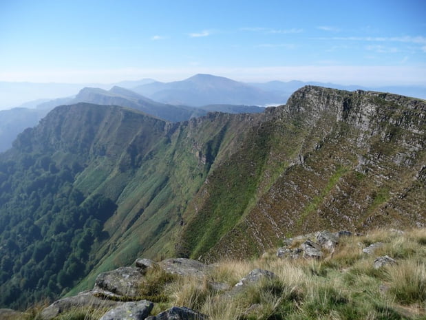
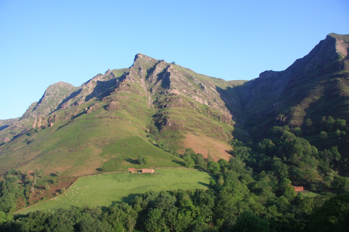
This trail leads to the Okoka peak (723m) via Irubelakaskoa (967m). A good part of the route is on crests with some technical passages, to be avoided by people prone to vertigo.
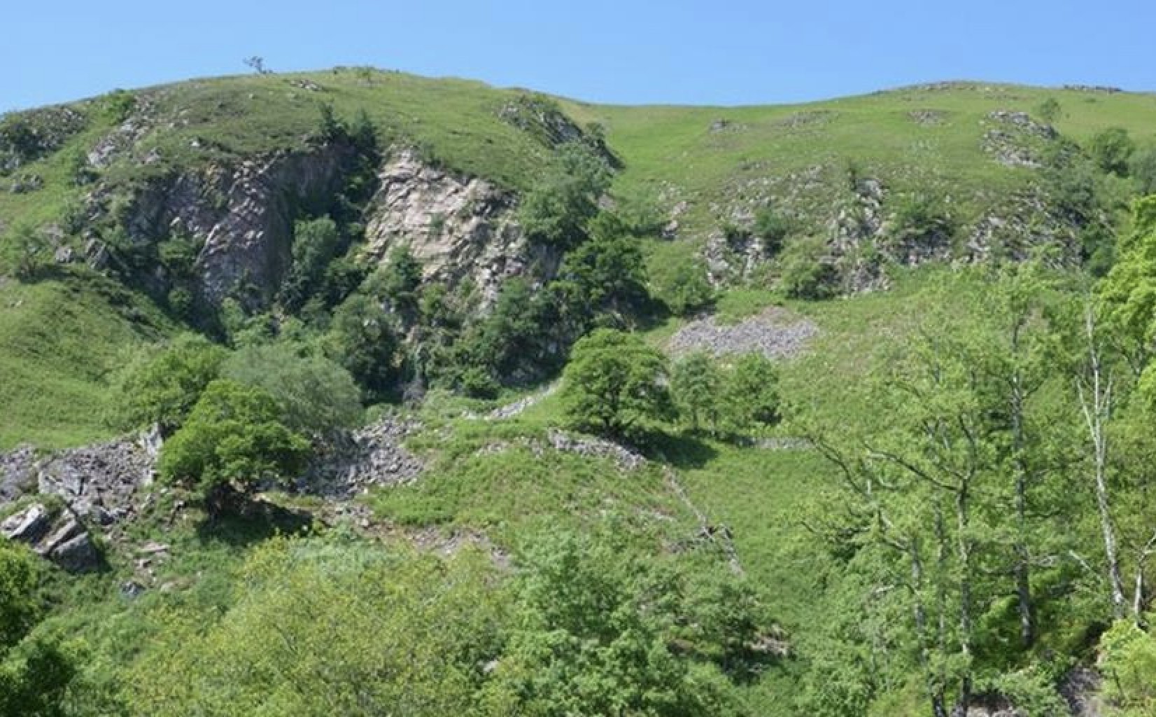
The landscapes are magnificent.

Already more than 200,000 users!
Uphill
878m
Highest point
933m
Downhill
878m
Lowest point
175m
Route type
Loop
Download the map on your smartphone to save battery and rest assured to always keep access to the route, even without signal.
Includes IGN France and Swisstopo.
I indicate whether dogs are allowed or prohibited on this trail
Can be difficult in Winter
0 ratings
Also enjoy:

Already more than 200,000 users!