Uphill
976m

Length
12km
Duration
6h30min
Elev gain
976m
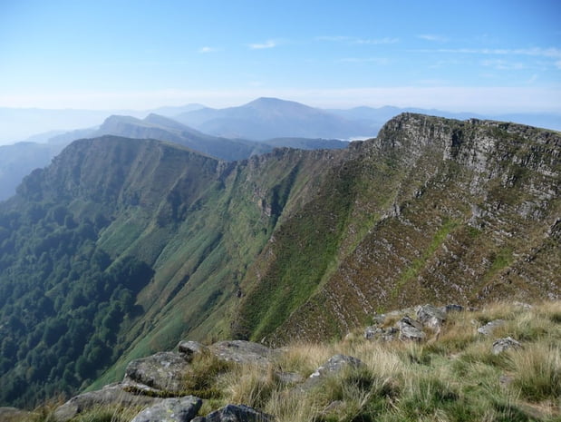
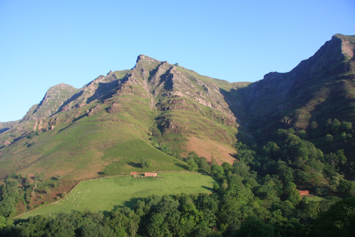
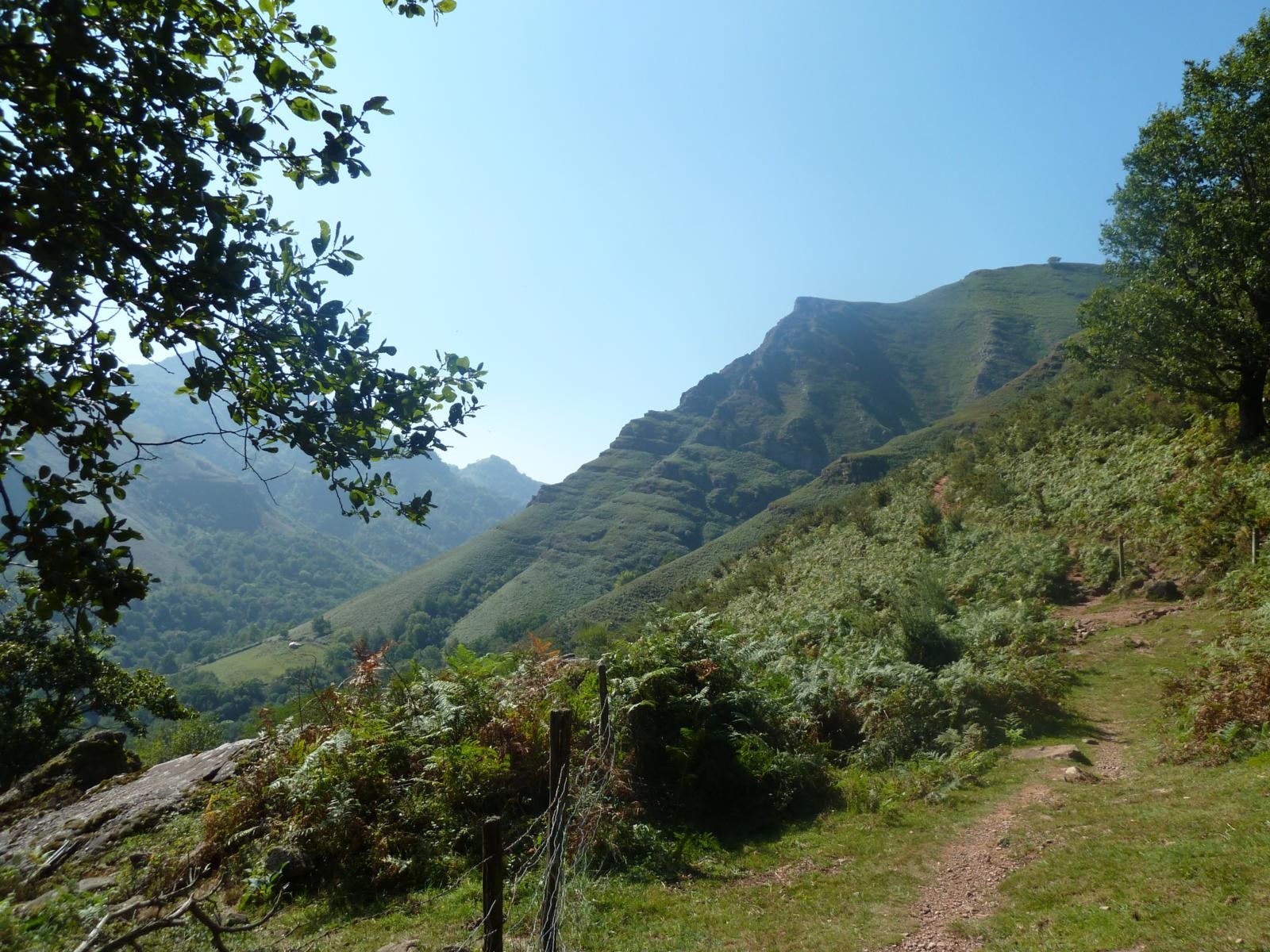
Leaving from Saint-Étienne-de-Baïgorry, this path leads to the summit of Buztanzelai (1,029m) on the Spanish border. The circuit notably passes through the passes of Apaloy and Buztanzelai, and follows part of the GR10.
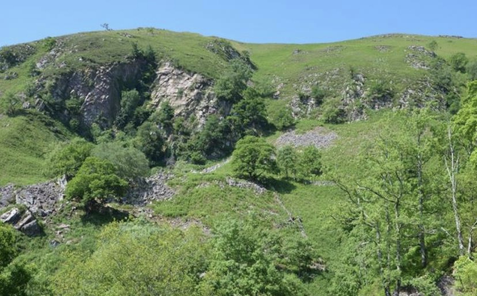
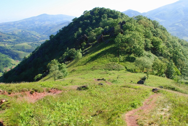
Very pretty landscapes both at the summit and on the crests taken.

Already more than 200,000 users!
Uphill
976m
Highest point
1009m
Downhill
976m
Lowest point
155m
Route type
Loop
Download the map on your smartphone to save battery and rest assured to always keep access to the route, even without signal.
Includes IGN France and Swisstopo.
I indicate whether dogs are allowed or prohibited on this trail
Can be difficult in Winter
0 ratings
Also enjoy:

Already more than 200,000 users!