Uphill
201m
Length
5km
Duration
2h
Elev gain
201m
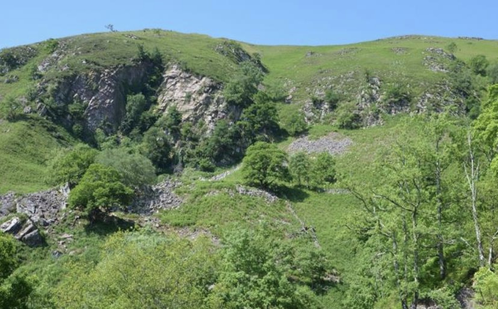
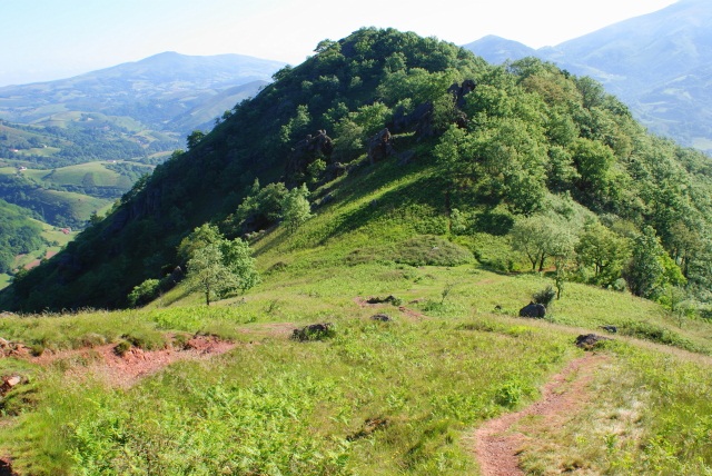
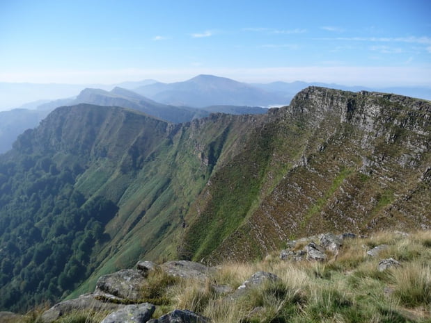
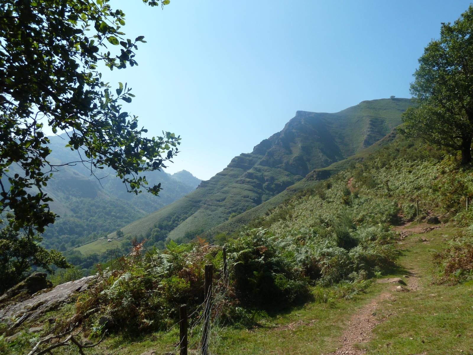
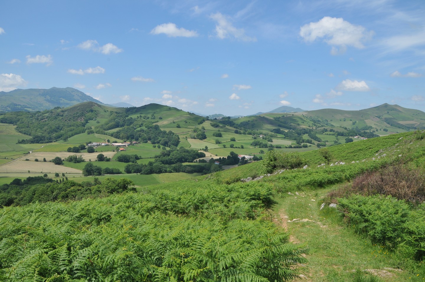
Family-friendly hike in the Arbéroue valley, on a path that allows you to gain height and enjoy a beautiful panorama. The flora is beautiful and varied: hawthorns, chestnuts, oaks, locusts and ferns can be seen very close to the path.

Already more than 200,000 users!
Uphill
201m
Highest point
290m
Downhill
201m
Lowest point
115m
Route type
Loop
Download the map on your smartphone to save battery and rest assured to always keep access to the route, even without signal.
Includes IGN France and Swisstopo.
I indicate whether dogs are allowed or prohibited on this trail
All year
0 ratings
Also enjoy:

Already more than 200,000 users!