Uphill
55m
Length
3km
Duration
1h
Elev gain
55m
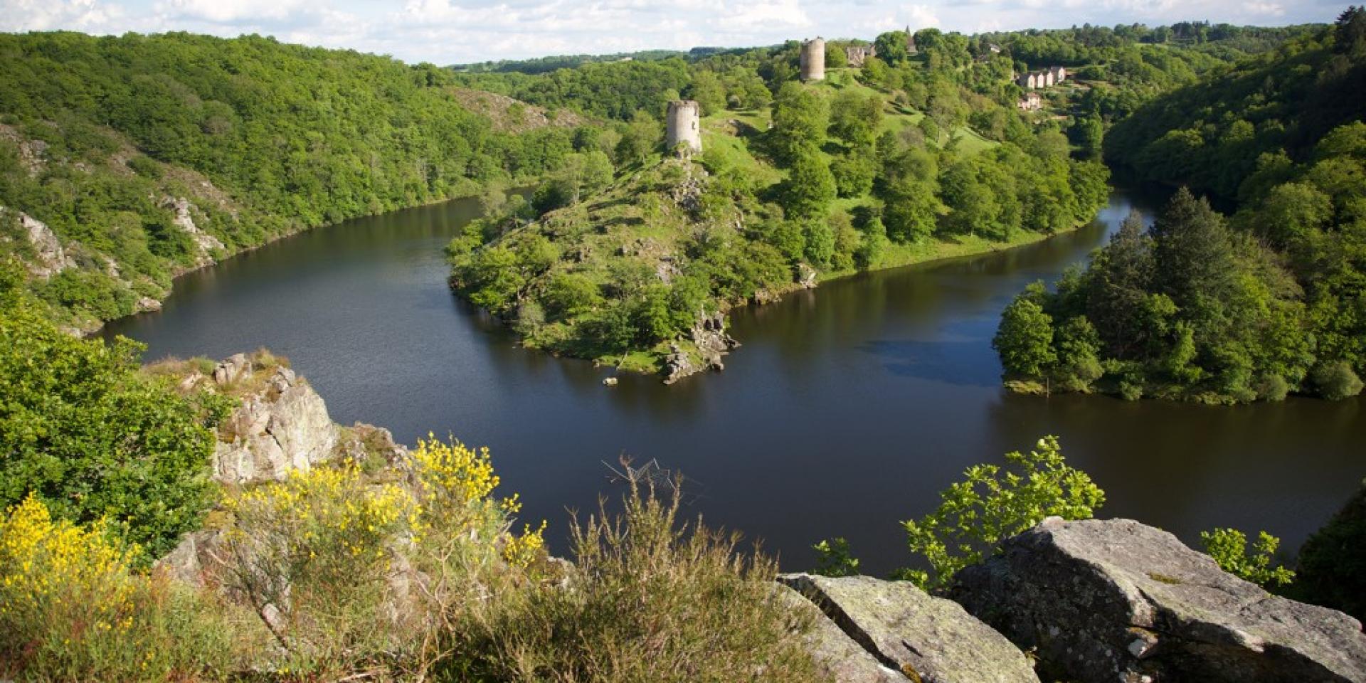
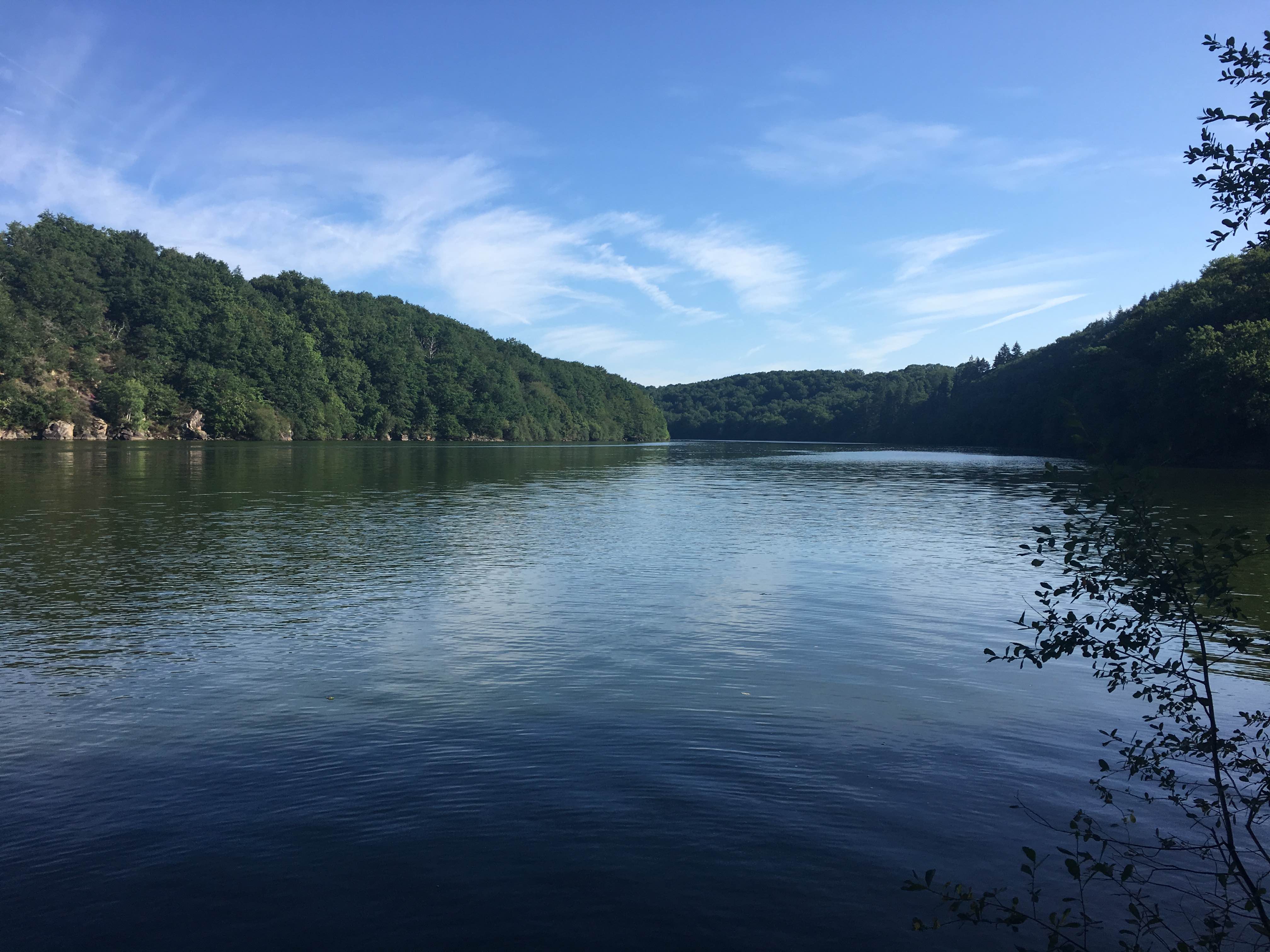
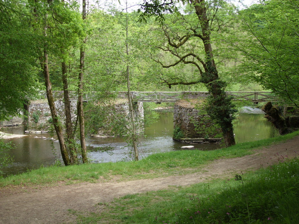
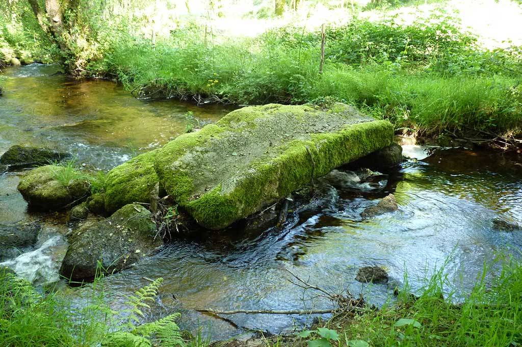
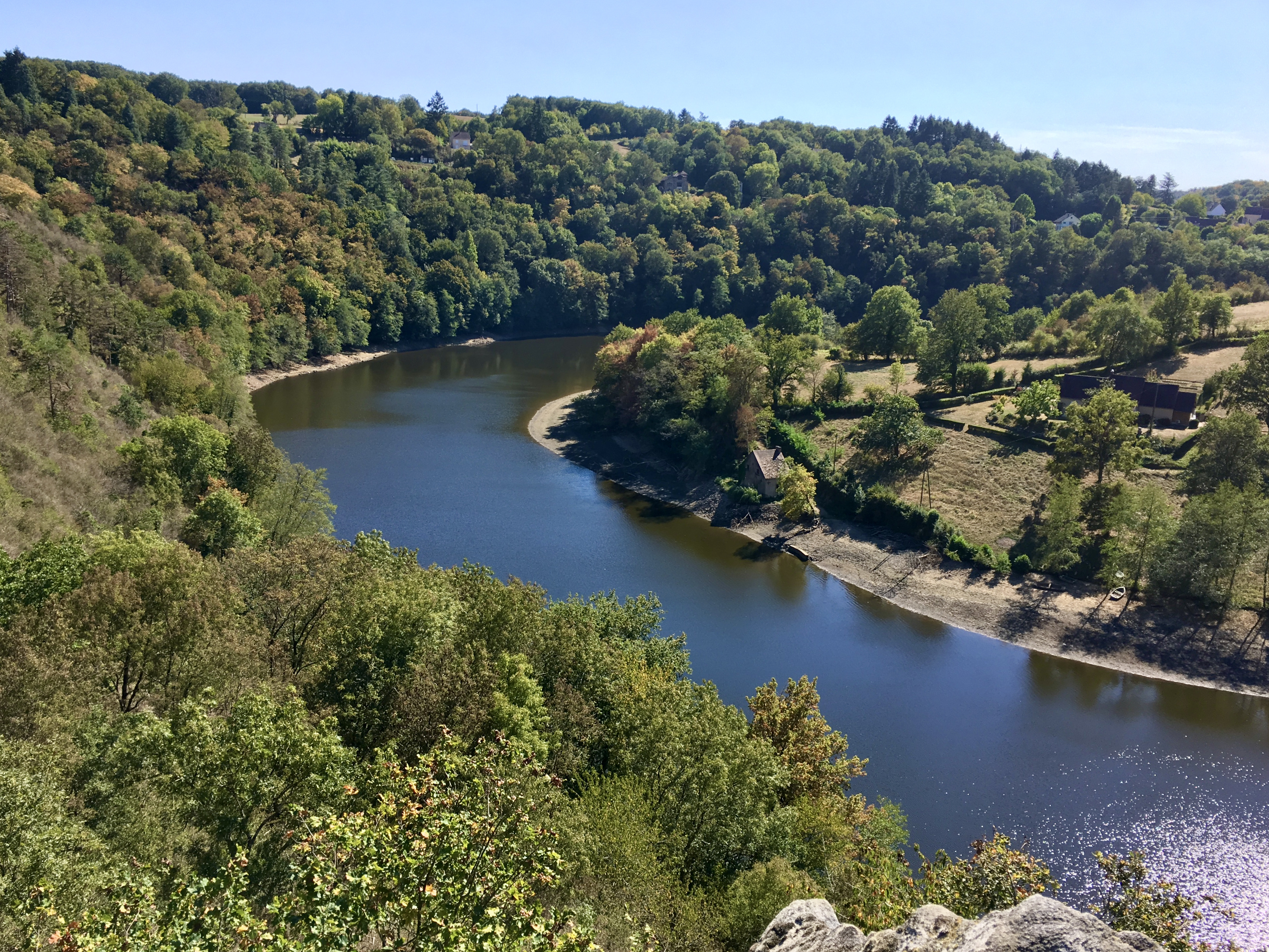
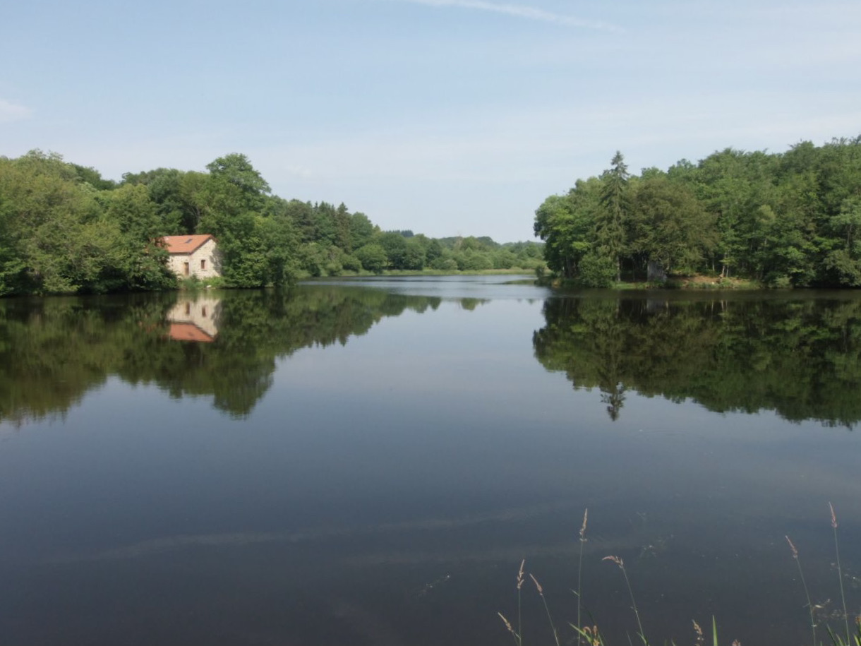
This is a short and pretty route ideal for the family. The path begins by following the pond of Cheix, then rushes into the forest to reach the castle of Bridiers. The path then returns through the forest and then along the pond, in order to return to the starting point.

Already more than 200,000 users!
Uphill
55m
Highest point
419m
Downhill
55m
Lowest point
377m
Route type
Loop
Download the map on your smartphone to save battery and rest assured to always keep access to the route, even without signal.
Includes IGN France and Swisstopo.
I indicate whether dogs are allowed or prohibited on this trail
All year
0 ratings
Also enjoy:

Already more than 200,000 users!