Uphill
380m
Length
16km
Duration
5h
Elev gain
380m
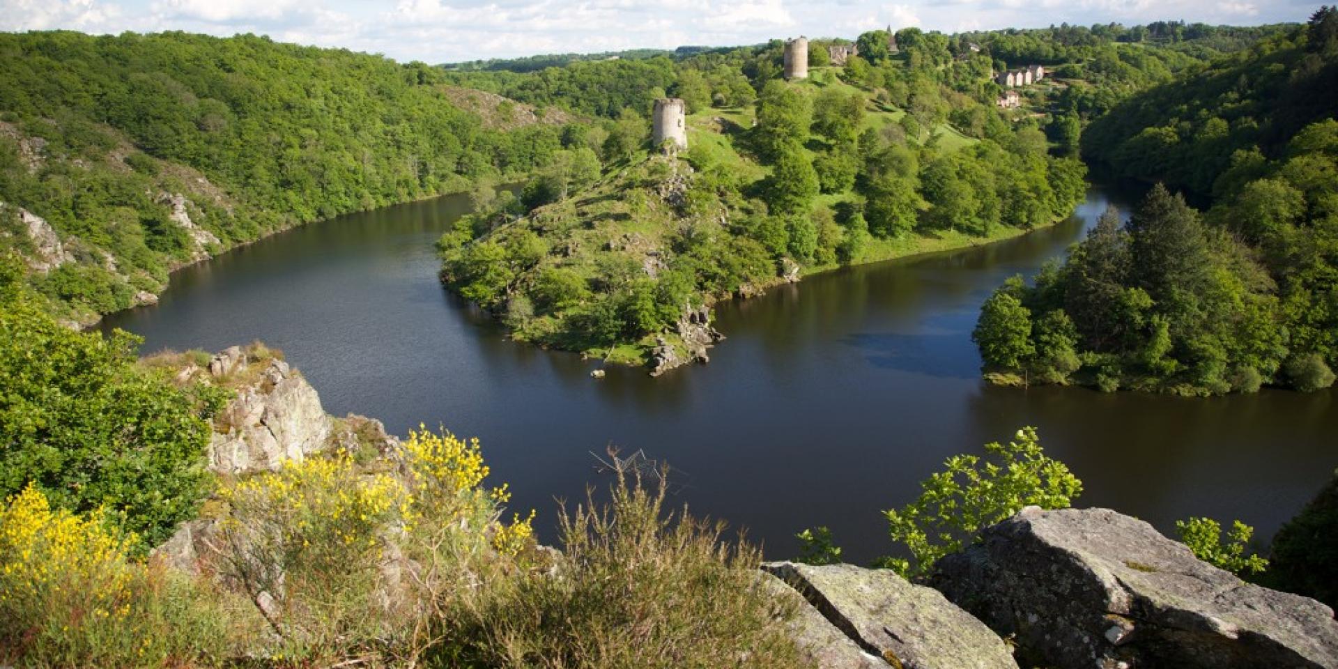
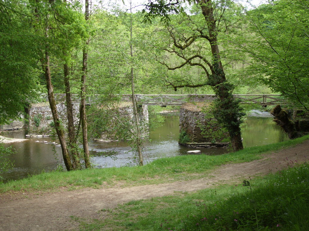
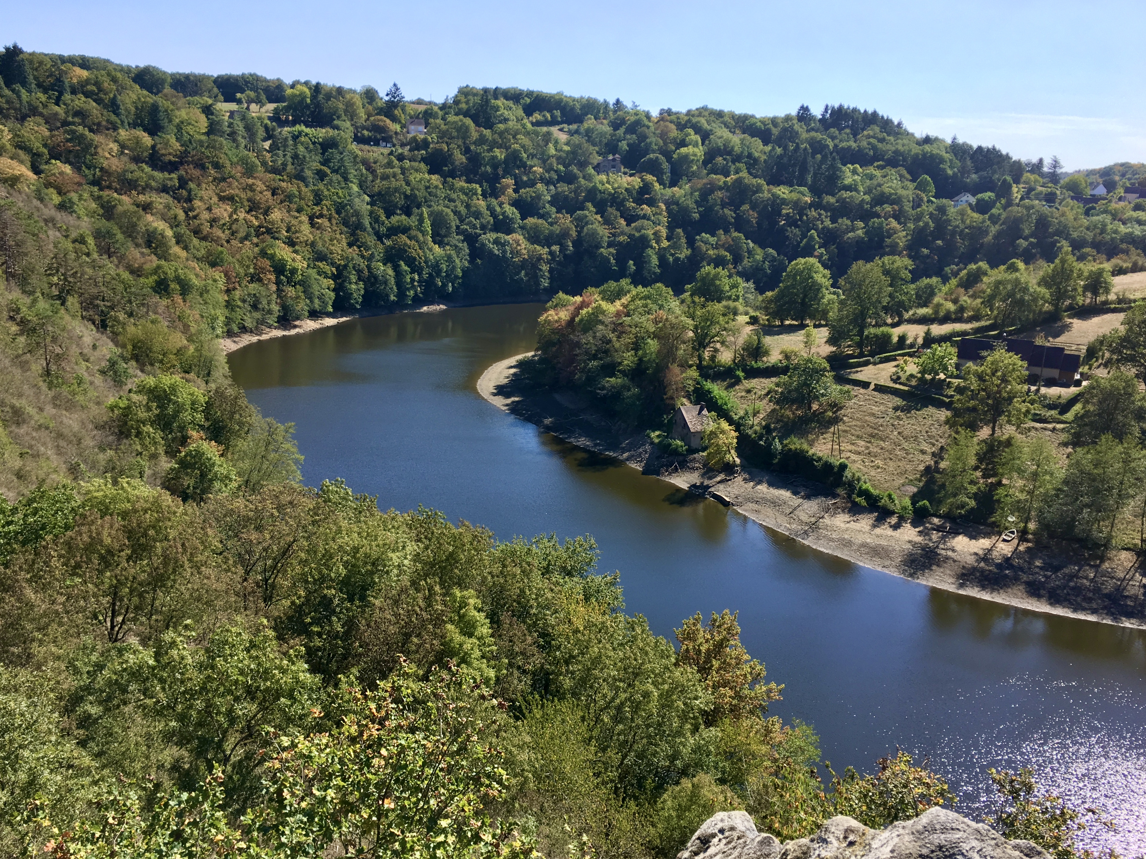
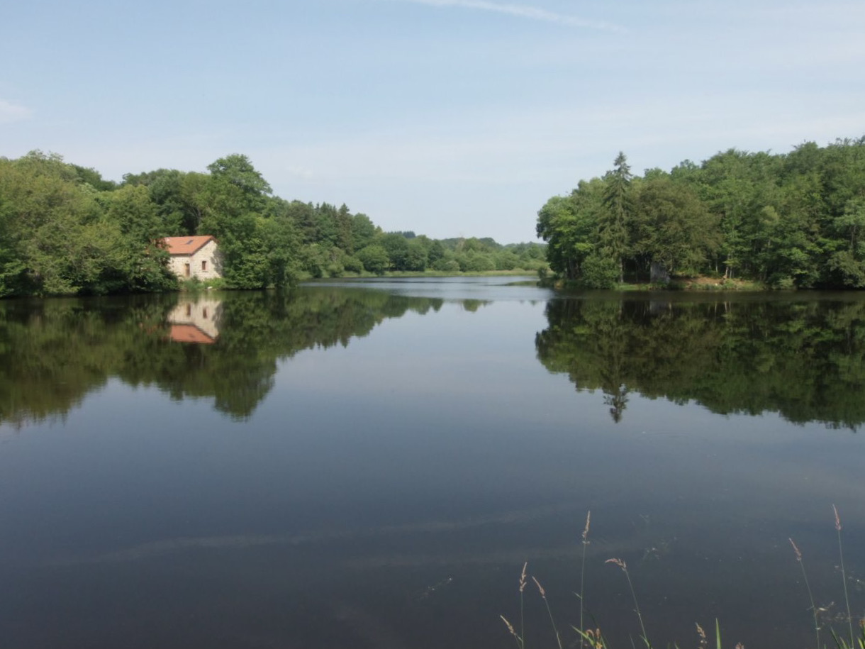
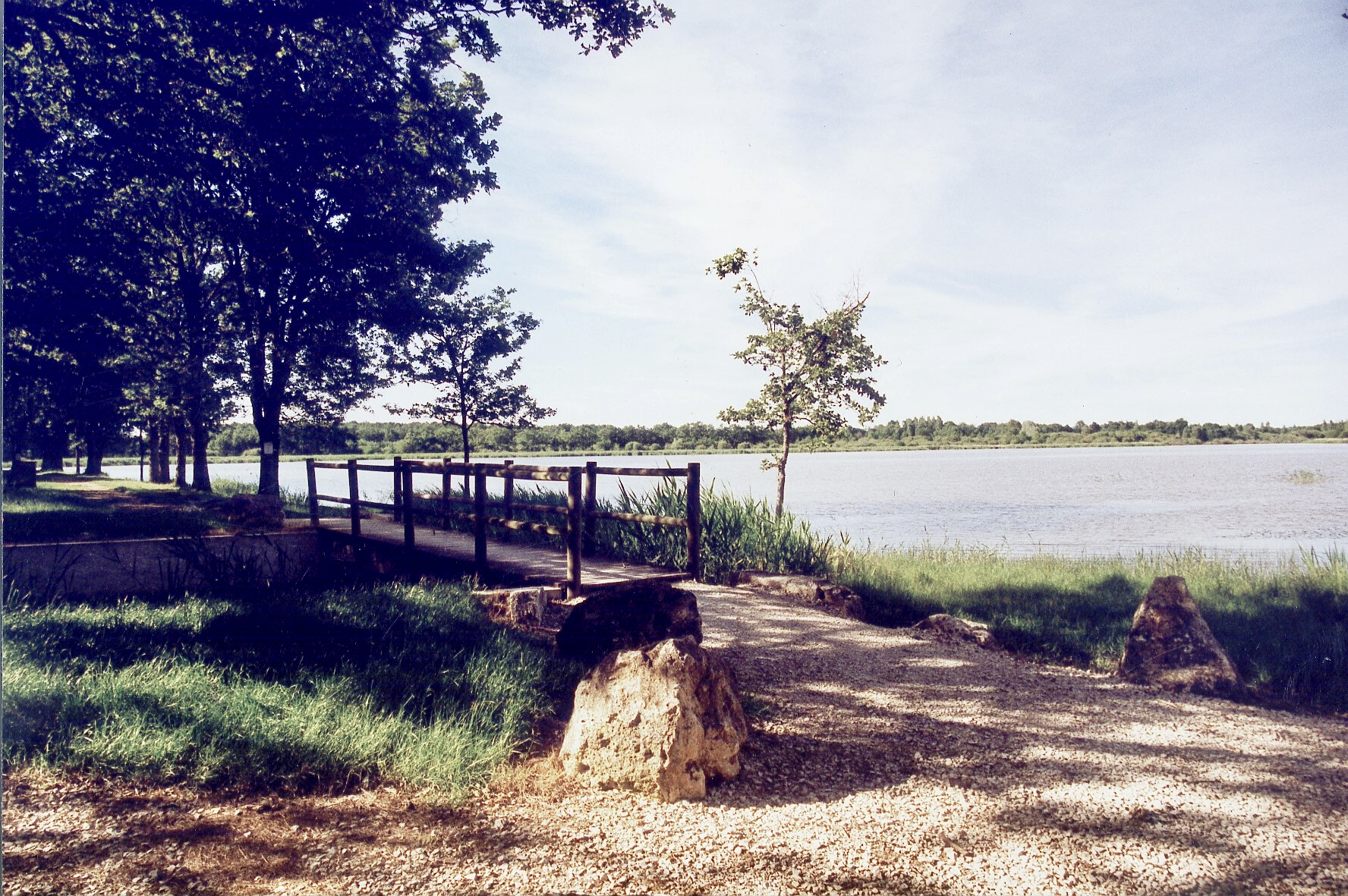
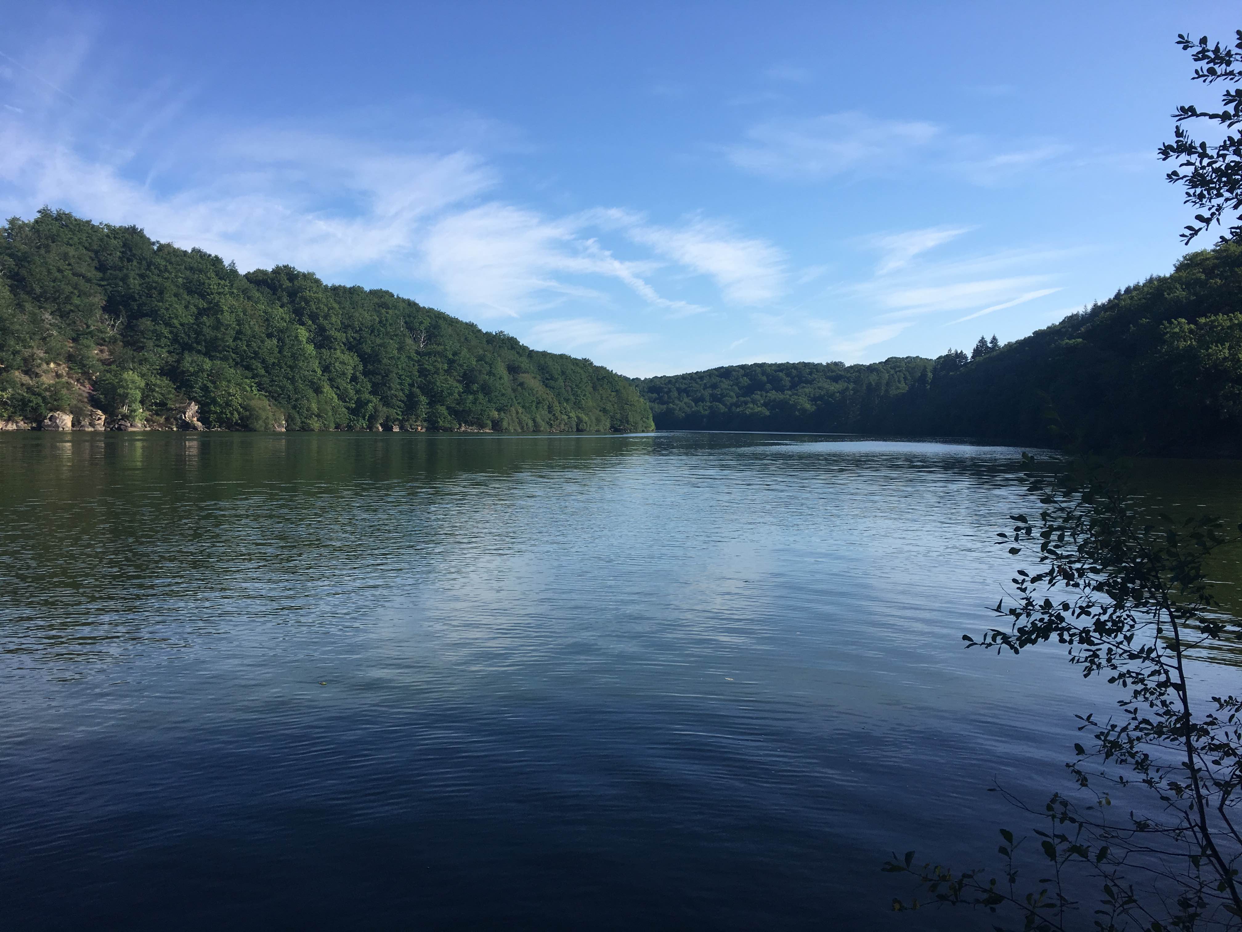
Walk on the shores of Lac de Chambon, also known as Lac d'Éguzon, in the heart of the Creuse valley. The landscapes alternate between forests and moors, with pretty points of view.

Already more than 200,000 users!
Uphill
380m
Highest point
301m
Downhill
380m
Lowest point
192m
Route type
Loop
Download the map on your smartphone to save battery and rest assured to always keep access to the route, even without signal.
Includes IGN France and Swisstopo.
I indicate whether dogs are allowed or prohibited on this trail
All year
0 ratings
Also enjoy:

Already more than 200,000 users!