Uphill
21m
Length
4km
Duration
1h
Elev gain
21m
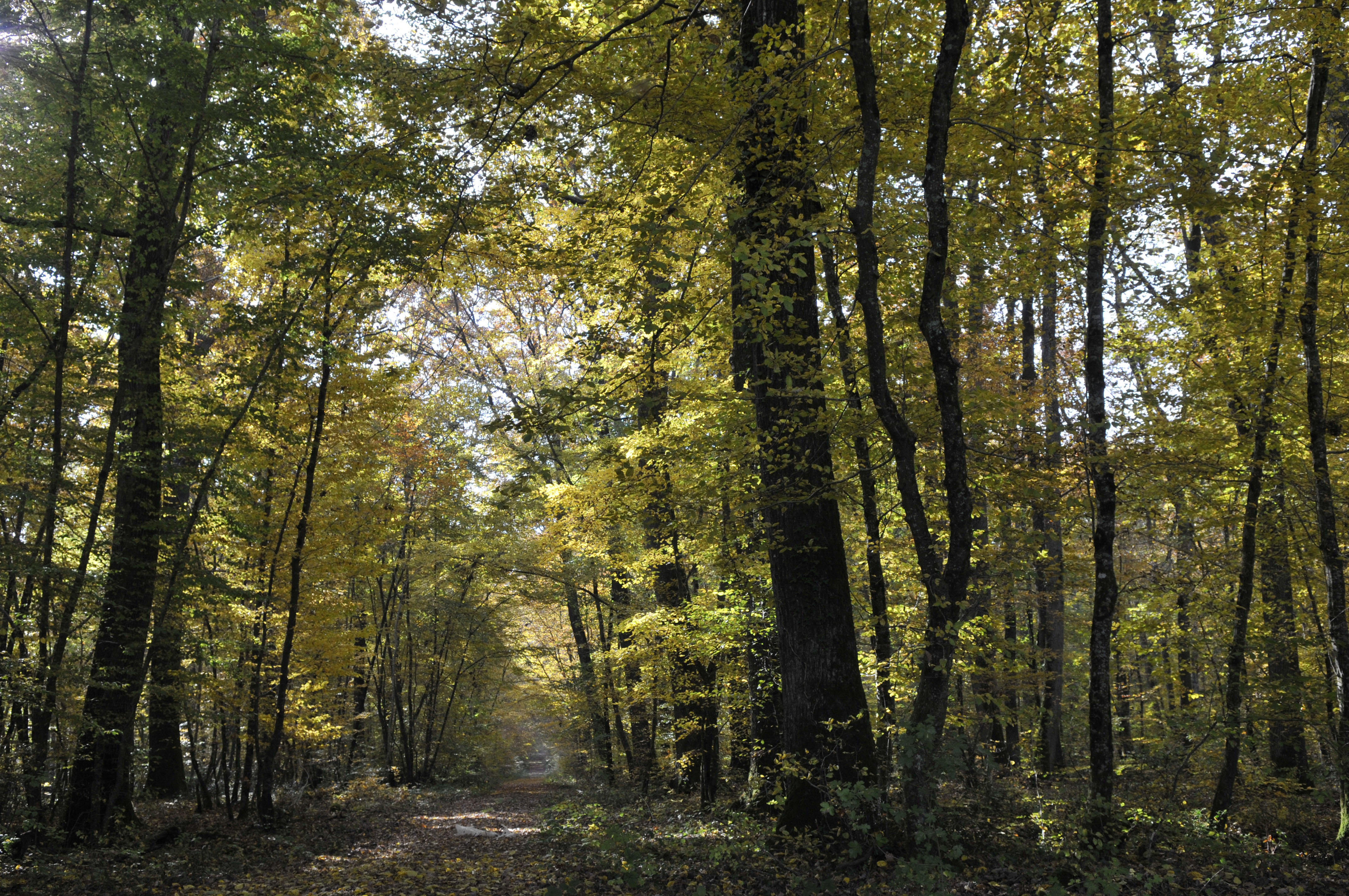
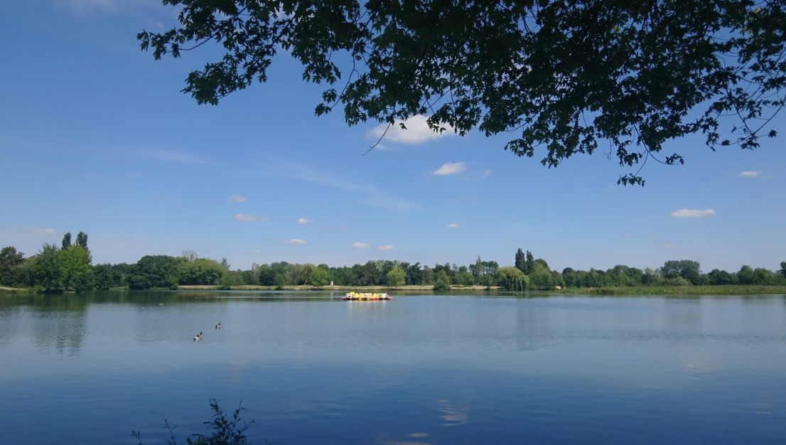
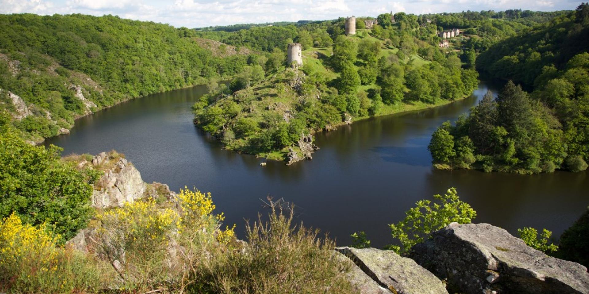
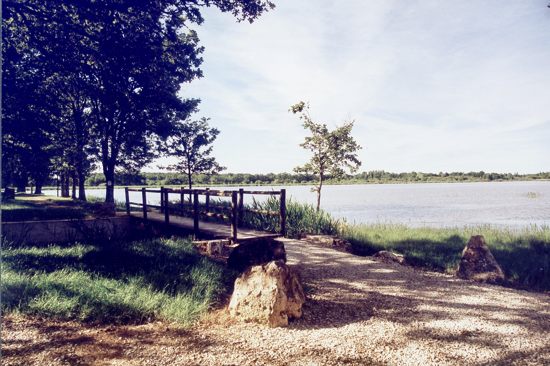
Nice little family walk around the Duris pond, in the heart of the Brenne regional natural park. The route alternates between country lanes and wooded paths, and loops around the beautiful Duris pond in a bucolic setting.

Already more than 200,000 users!
Uphill
21m
Highest point
160m
Downhill
21m
Lowest point
136m
Route type
Loop
Download the map on your smartphone to save battery and rest assured to always keep access to the route, even without signal.
Includes IGN France and Swisstopo.
I indicate whether dogs are allowed or prohibited on this trail
All year
1 rating
Pas terrible… pas de vue sur l’eau
Also enjoy:

Already more than 200,000 users!