Uphill
367m
Length
12km
Duration
4h
Elev gain
367m
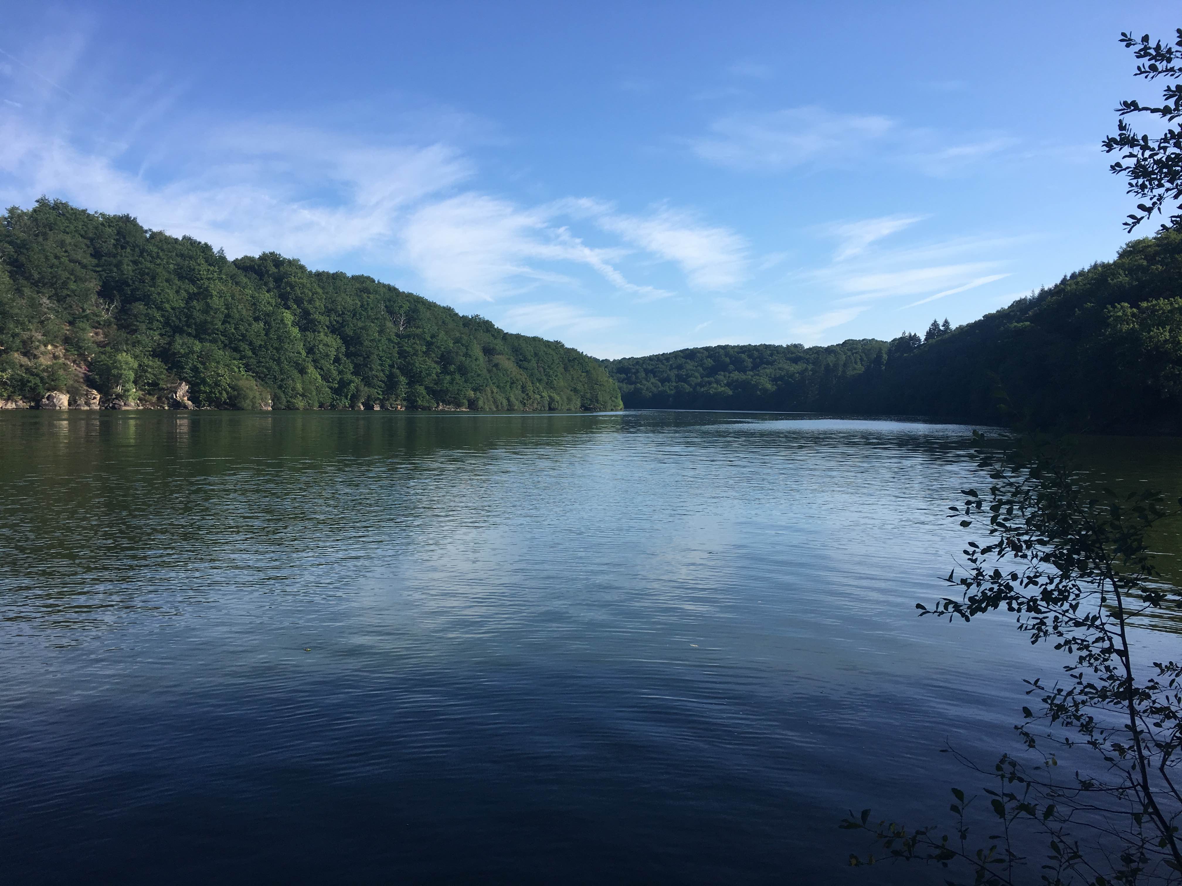
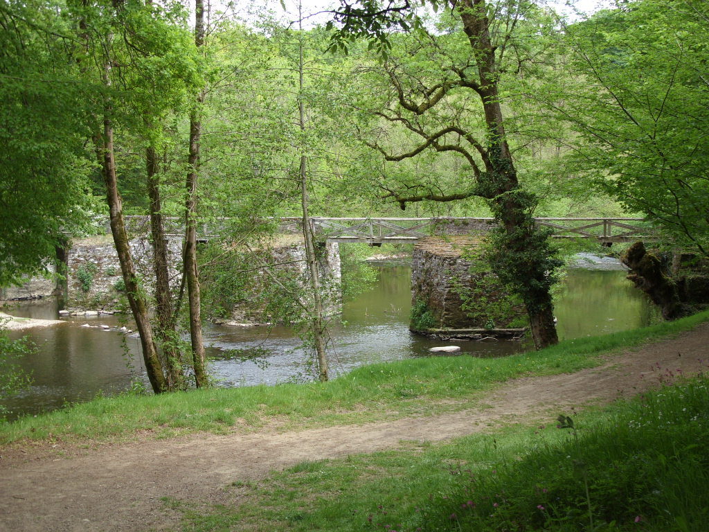
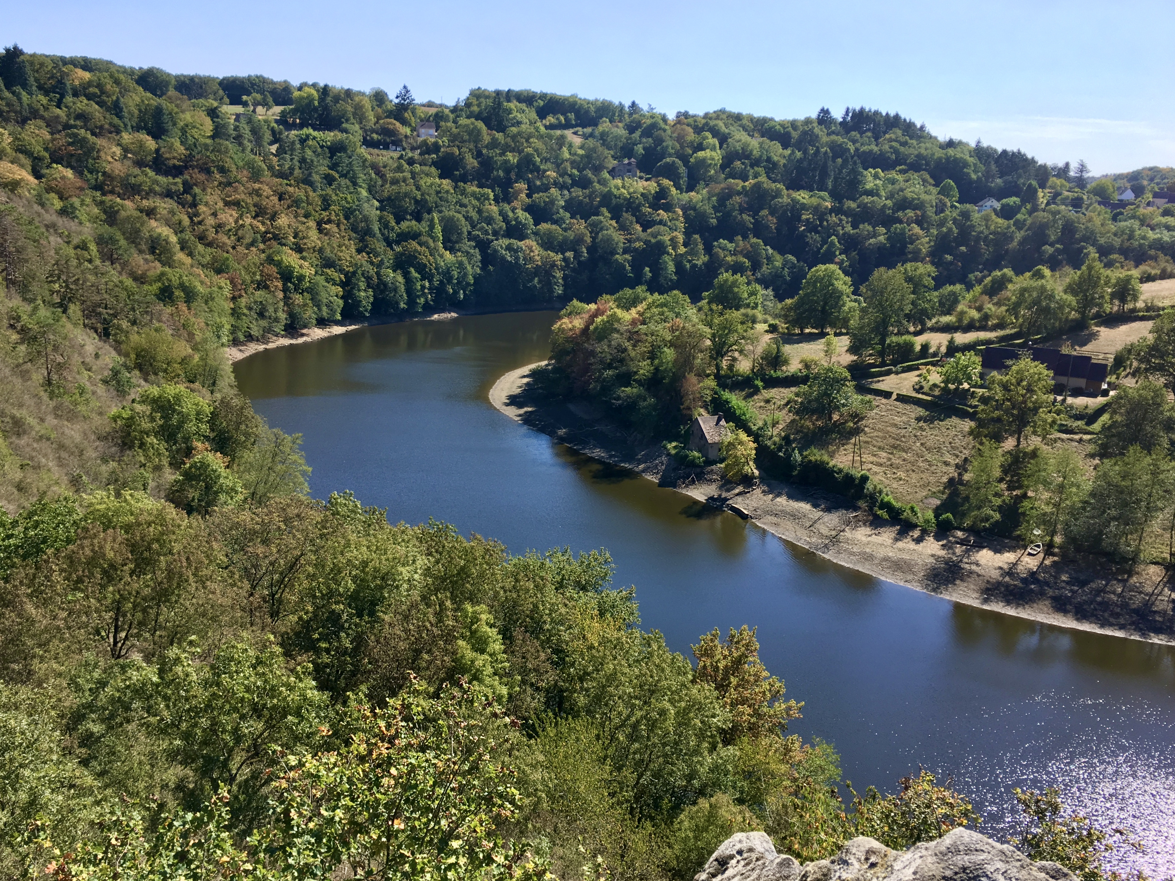
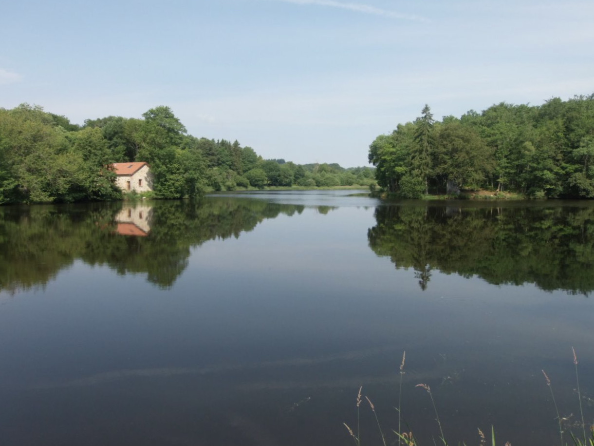
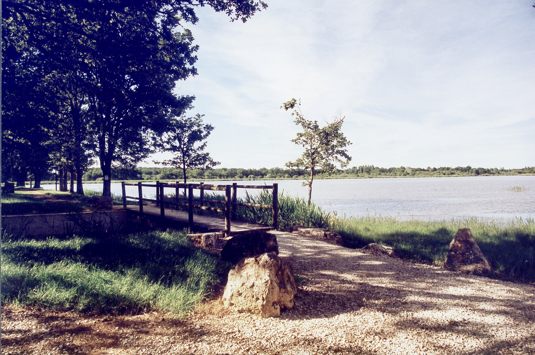
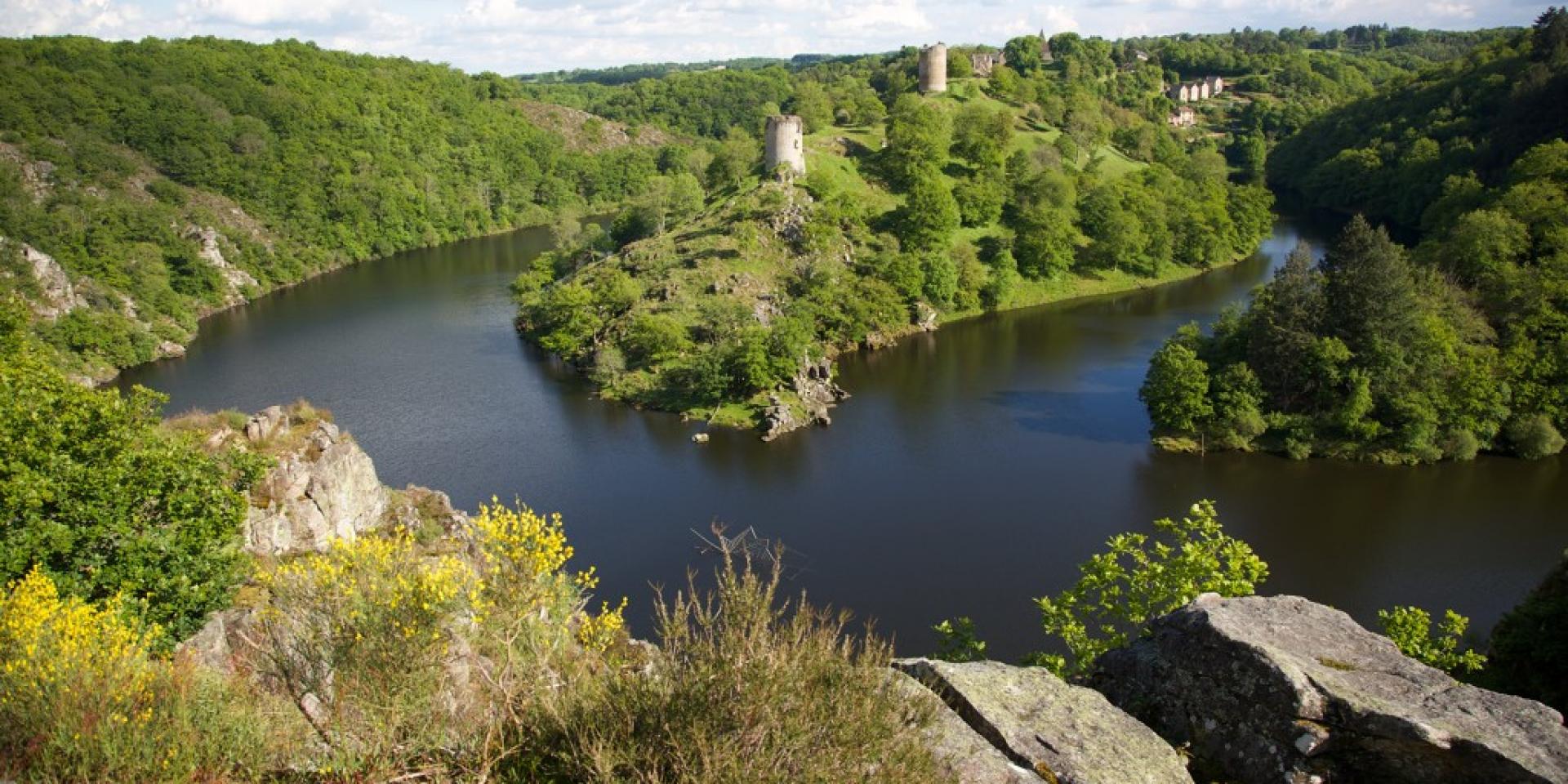
The start of this hike is located near Lake Chambon, south of Fougères. The route runs along the Creuse and joins Crozant in a magical setting, then returns to the starting point by the same path. A very nice walk where you overlook the Creuse for the most part.

Already more than 200,000 users!
Uphill
367m
Highest point
276m
Downhill
367m
Lowest point
194m
Route type
There and back
Download the map on your smartphone to save battery and rest assured to always keep access to the route, even without signal.
Includes IGN France and Swisstopo.
I indicate whether dogs are allowed or prohibited on this trail
All year
0 ratings
Also enjoy:

Already more than 200,000 users!