Uphill
13m
Length
1km
Duration
30min
Elev gain
13m
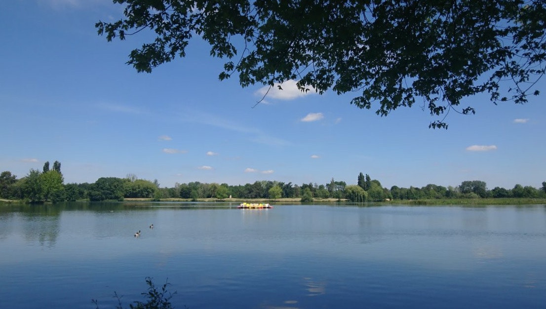
It is north of Châteauroux that this little family outing takes place. The route goes around Lake Belle-Isle, offering beautiful views of it and the possibility of taking a swim break at the beach, located at the starting point.

Already more than 200,000 users!
Uphill
13m
Highest point
143m
Downhill
13m
Lowest point
130m
Route type
Loop
Download the map on your smartphone to save battery and rest assured to always keep access to the route, even without signal.
Includes IGN France and Swisstopo.
I indicate whether dogs are allowed or prohibited on this trail
All year
0 ratings
Also enjoy:

Already more than 200,000 users!


