Uphill
38m

Length
20km
Duration
5h
Elev gain
38m
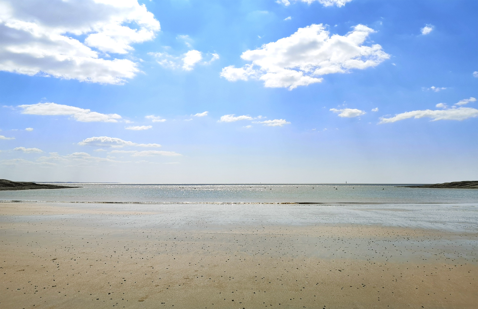
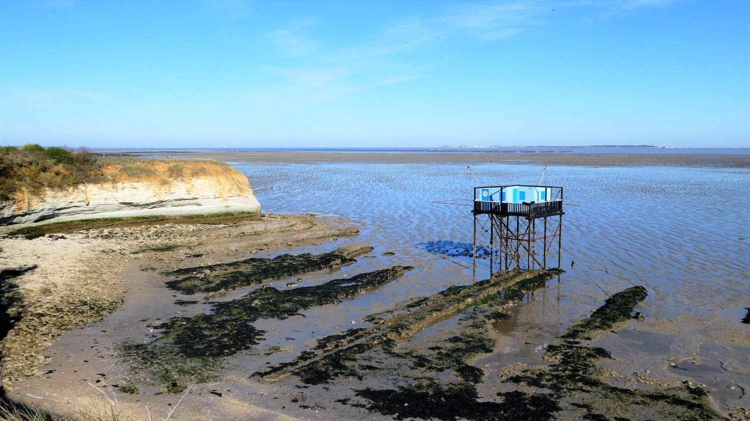
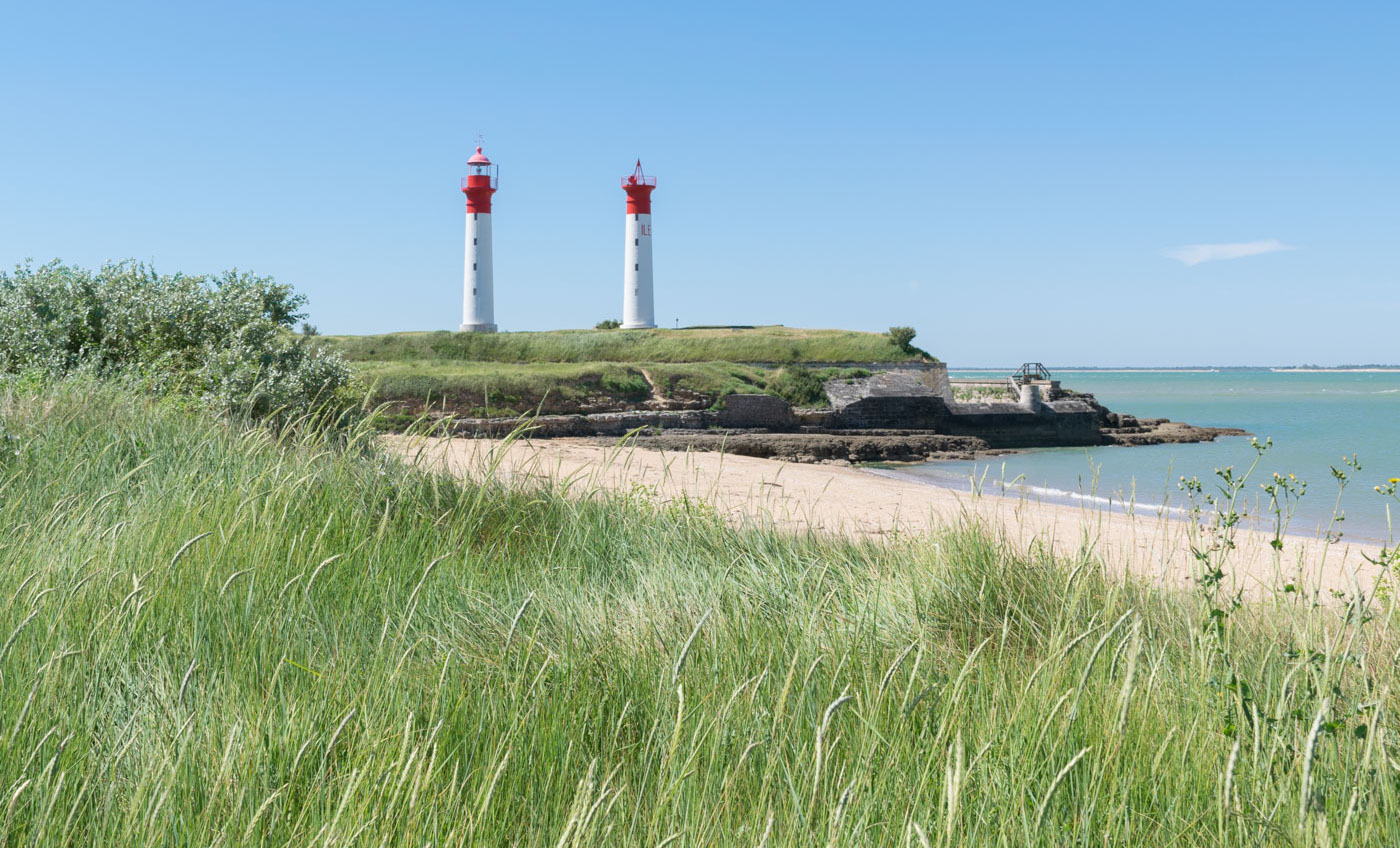
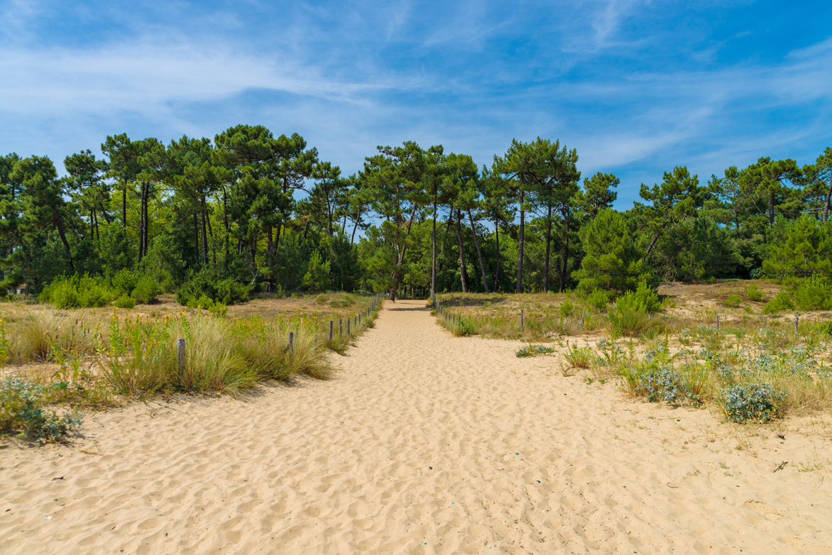
Here is a rather long hike that is done along the coast. The path leads to Fouras, known for its fort and its beaches. Part of the course is done at the edge of the cliffs, it is both impressive and magnificent. What more ? Ah yes, a lunch in Fouras facing the sea, awesome.

Already more than 200,000 users!
Uphill
38m
Highest point
23m
Downhill
38m
Lowest point
6m
Route type
There and back
Download the map on your smartphone to save battery and rest assured to always keep access to the route, even without signal.
Includes IGN France and Swisstopo.
I indicate whether dogs are allowed or prohibited on this trail
All year
0 ratings
Also enjoy:

Already more than 200,000 users!