Uphill
296m
France > Nouvelle-Aquitaine > Pyrénées-Atlantiques > Pyrénées National Park
Length
9km
Duration
4h
Elev gain
296m
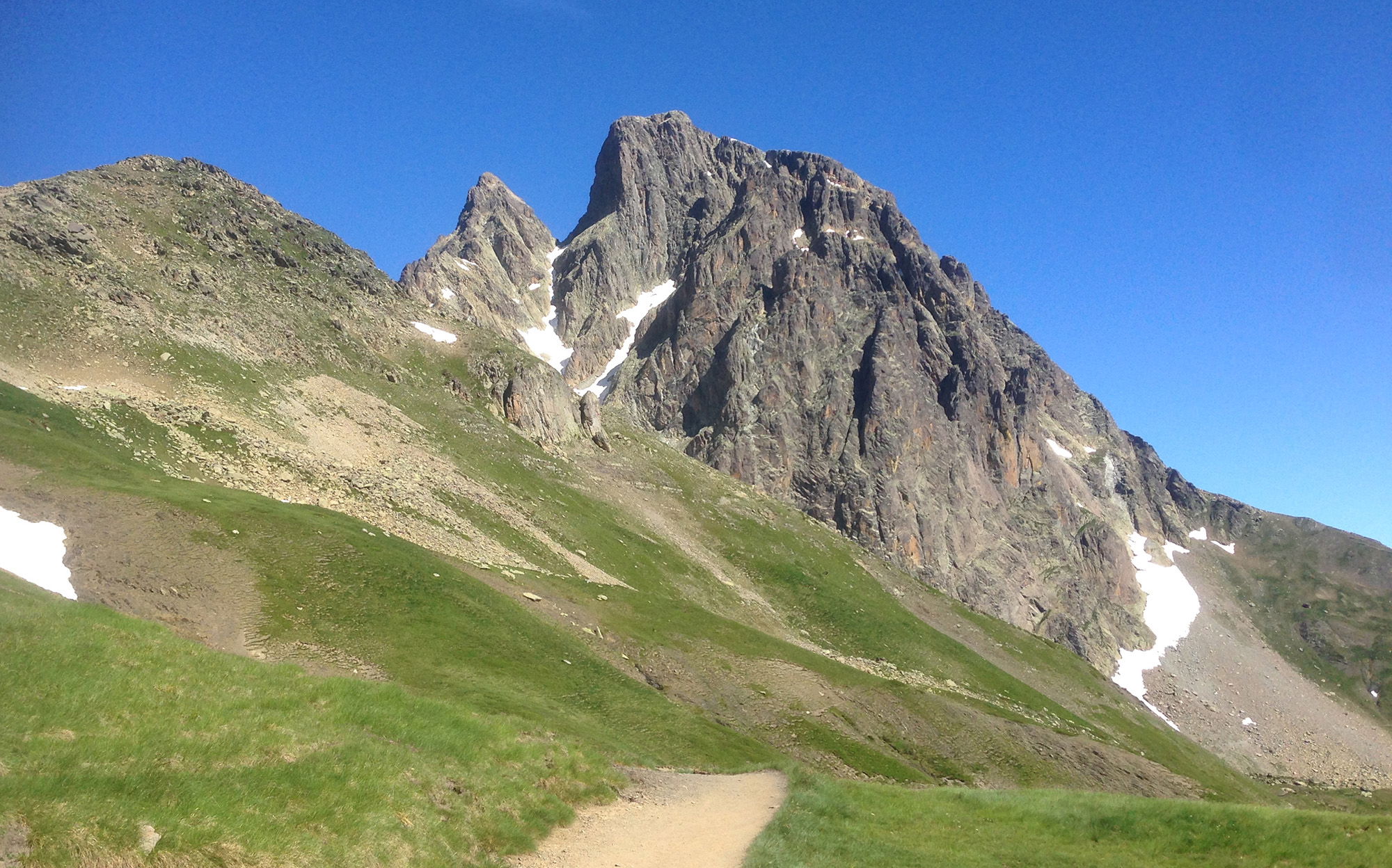
During this last stage of the tour of the Pic du Midi d'Ossau, the path leaves the Pombie refuge and joins the Suzon and Magnabaigt passes, before climbing to the Chérue peak (2,198 m).
There follows a long descent to Lake Bious-Artigues, passing notably through a line of crests and then through the Col de Lavigne.

Already more than 200,000 users!
Uphill
296m
Highest point
2166m
Downhill
897m
Lowest point
1410m
Route type
One way
Download the map on your smartphone to save battery and rest assured to always keep access to the route, even without signal.
Includes IGN France and Swisstopo.
1 rating
Ça commence par une traversée d’éboulis au pied du pic d’Ossau, jusqu’au col de Suzon. On y croise alors les alpinistes partant à l’assaut du pic, avec casque sur la tête et corde sur le dos. Pas pour nous !
L’itinéraire rejoint ensuite une ligne de crêtes offrant de magnifiques vues sur deux vallées en contrebas.
Le passage au col de Lavigne est délicat si on a le vertige, mais pas insurmontable. Ensuite le chemin est parfois difficile à distinguer, et on traverse des alpages pour rejoindre le ruisseau de Magnabaigt.
Also enjoy:

Already more than 200,000 users!


