Uphill
234m
Length
10km
Duration
3h
Elev gain
234m
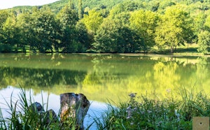
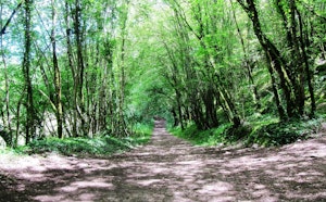
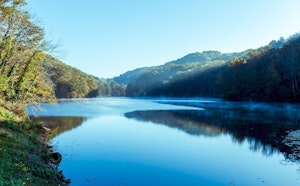
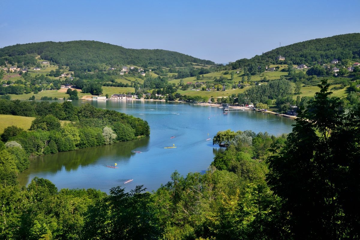
Departing from the shores of Causse Lake, this hike takes place on the heights of the lake. The route follows small paths, and alternates between undergrowth, fields and hamlets.

Already more than 200,000 users!
Uphill
234m
Highest point
308m
Downhill
234m
Lowest point
118m
Route type
Loop
Download the map on your smartphone to save battery and rest assured to always keep access to the route, even without signal.
Includes IGN France and Swisstopo.
I indicate whether dogs are allowed or prohibited on this trail
All year
3 ratings
Randonnée sympa (forêt) mais absence de vues sur le lac (à savoir)
Also enjoy:

Already more than 200,000 users!