Uphill
259m
Length
9km
Duration
3h
Elev gain
259m
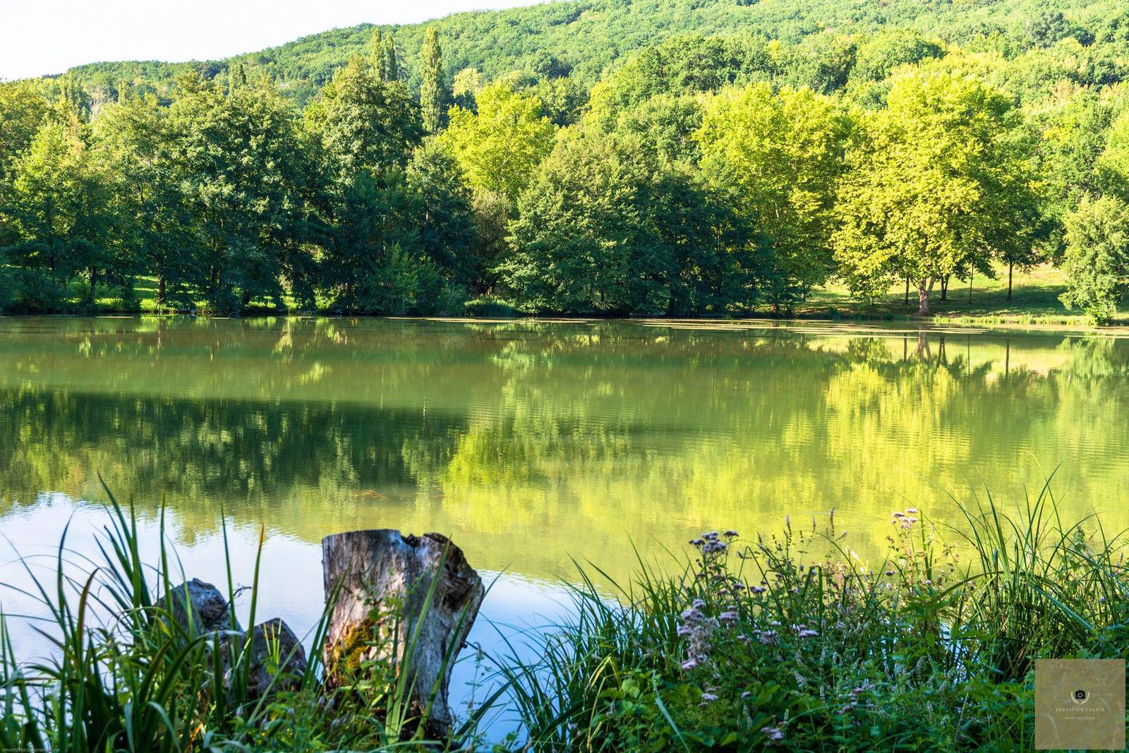
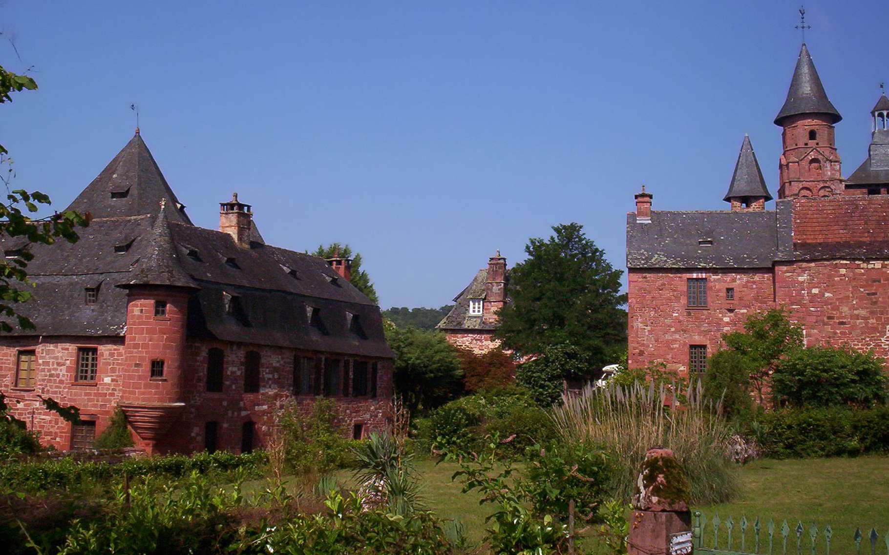
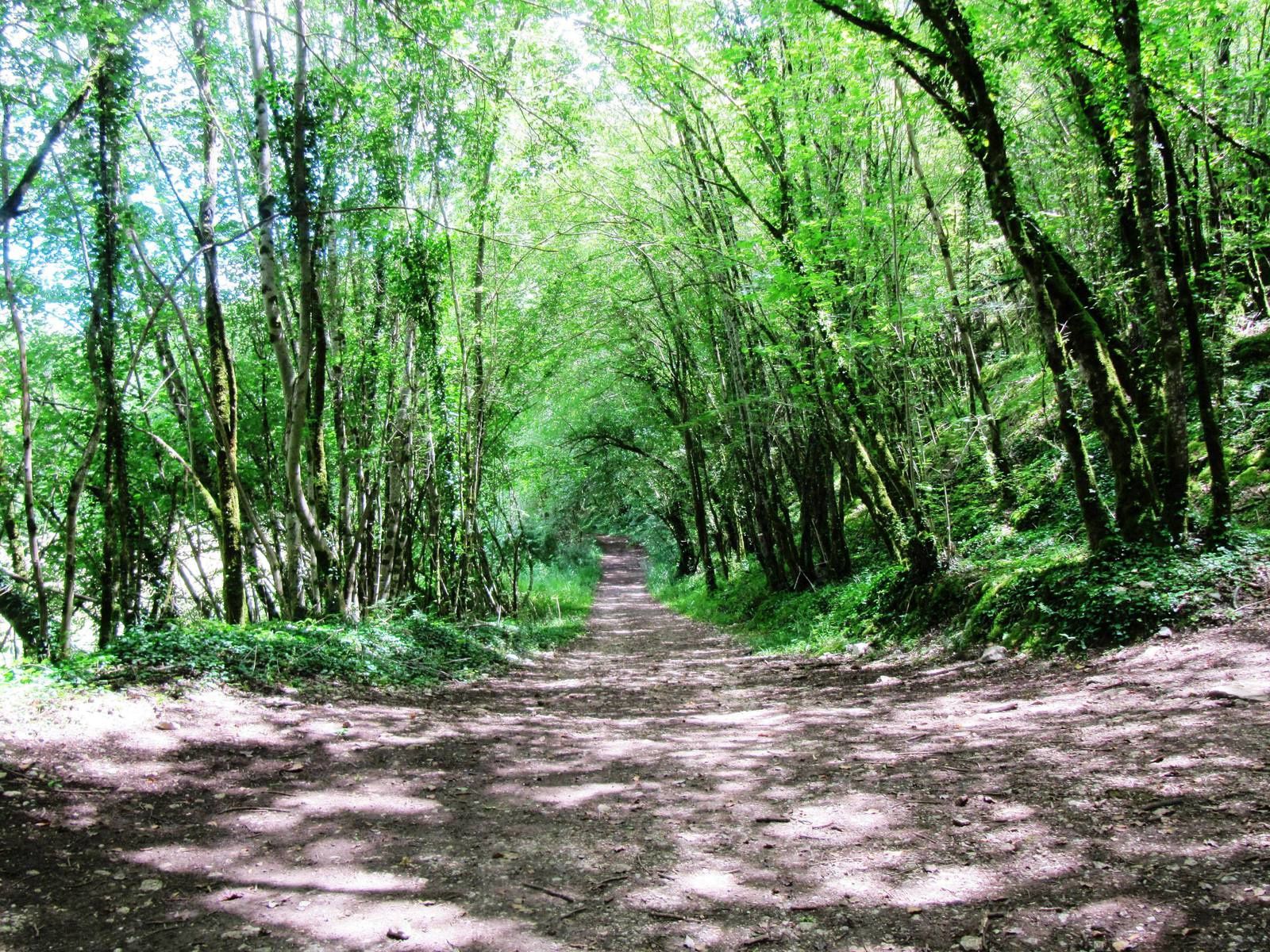
Here is a nice hike next to Soulier. The first part of the route, in the shade of the trees, follows the course of the Couze and crosses it several times. The second part goes back down to the starting point, passing through the villages of Crochet and Moulin de Laguenay.
Warning: the path is steep in places, and can be very slippery depending on the period.

Already more than 200,000 users!
Uphill
259m
Highest point
311m
Downhill
259m
Lowest point
125m
Route type
Loop
Download the map on your smartphone to save battery and rest assured to always keep access to the route, even without signal.
Includes IGN France and Swisstopo.
I indicate whether dogs are allowed or prohibited on this trail
All year
0 ratings
Also enjoy:

Already more than 200,000 users!