Uphill
166m
Length
5km
Duration
2h
Elev gain
166m
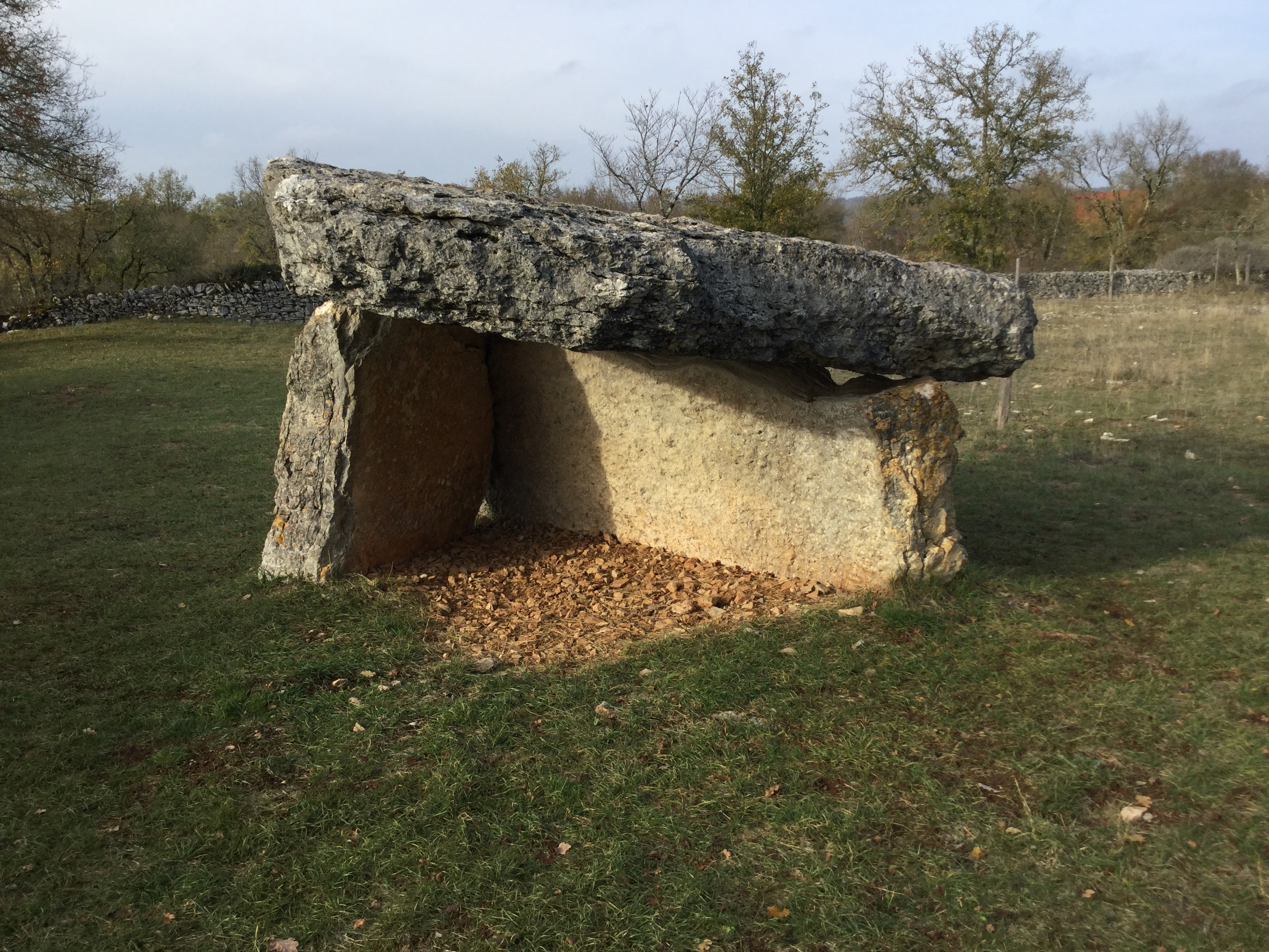
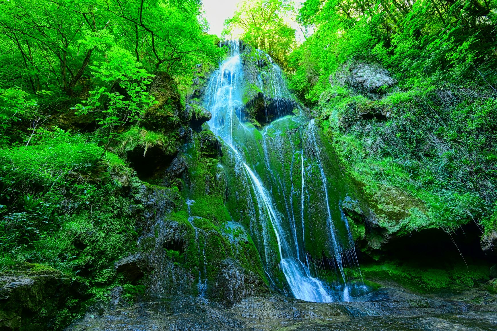
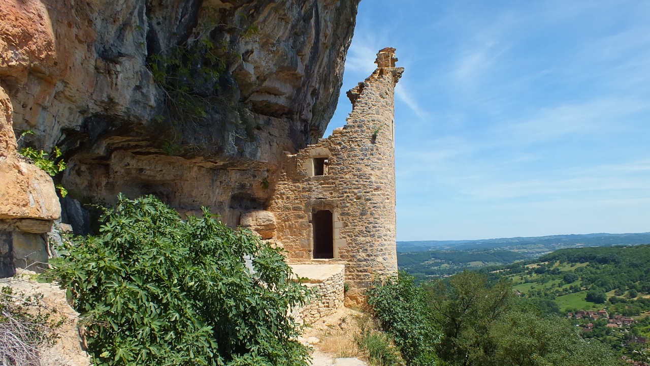
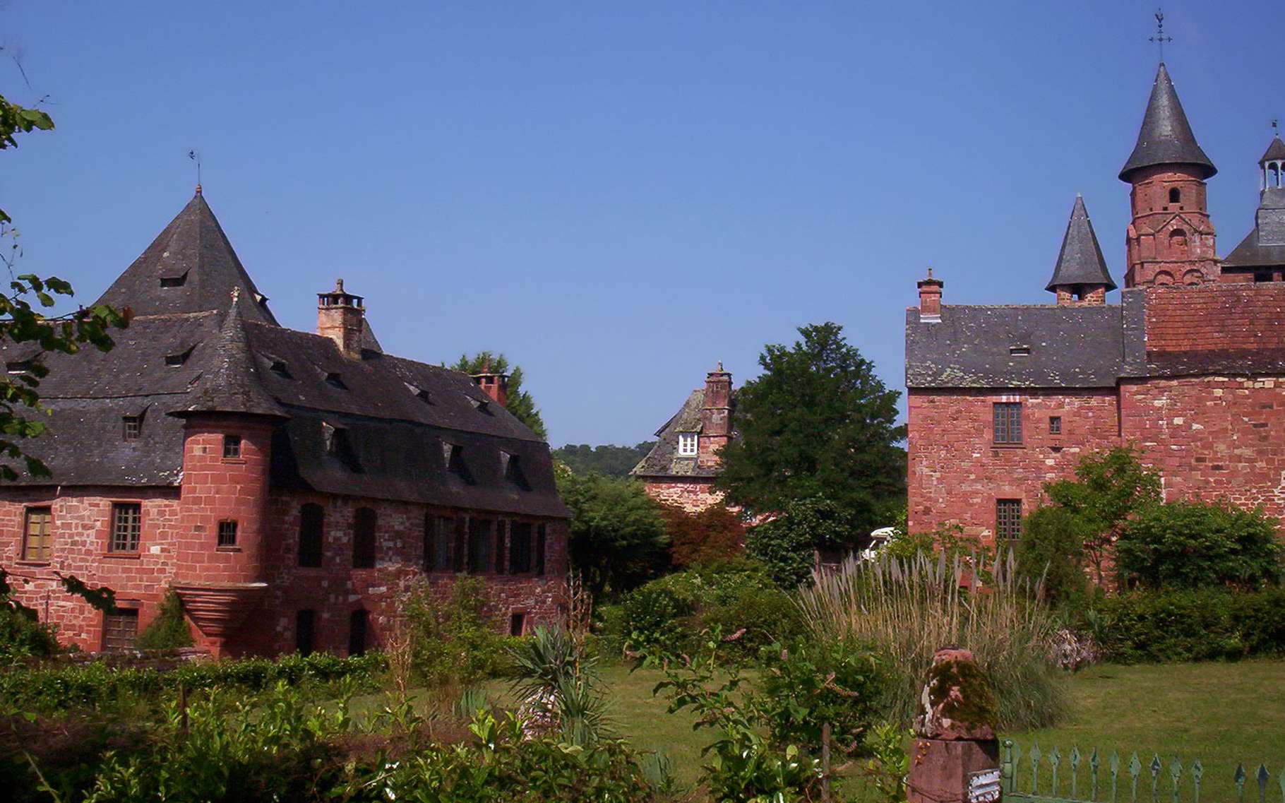
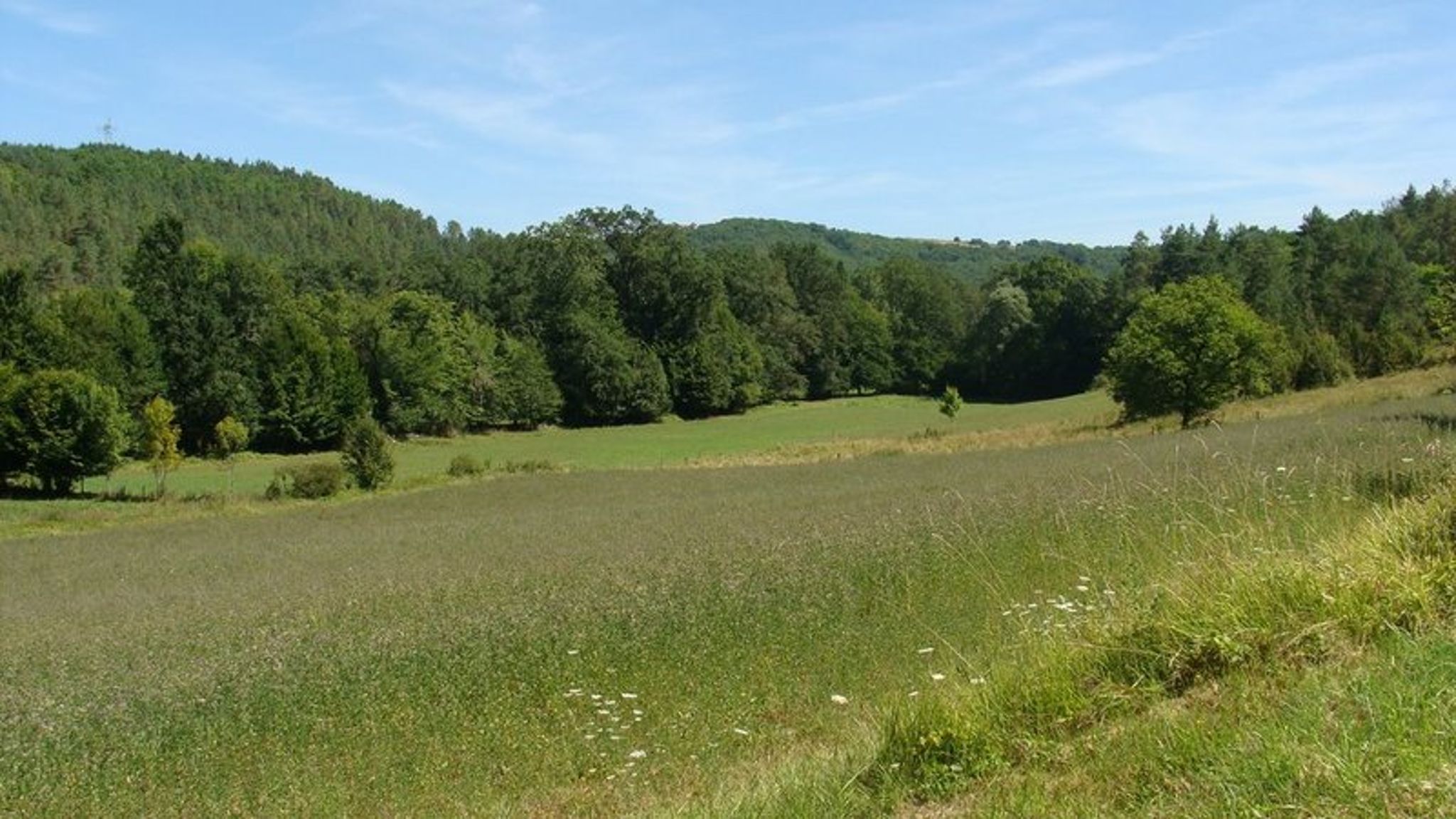
Departing from Queyssac-les-Vignes, this shady route makes a pretty loop alternating between forest and fields, taking paths and a few roads with little traffic.

Already more than 200,000 users!
Uphill
166m
Highest point
283m
Downhill
166m
Lowest point
136m
Route type
Loop
Download the map on your smartphone to save battery and rest assured to always keep access to the route, even without signal.
Includes IGN France and Swisstopo.
I indicate whether dogs are allowed or prohibited on this trail
All year
0 ratings
Also enjoy:

Already more than 200,000 users!