Uphill
143m
Length
7km
Duration
2h
Elev gain
143m
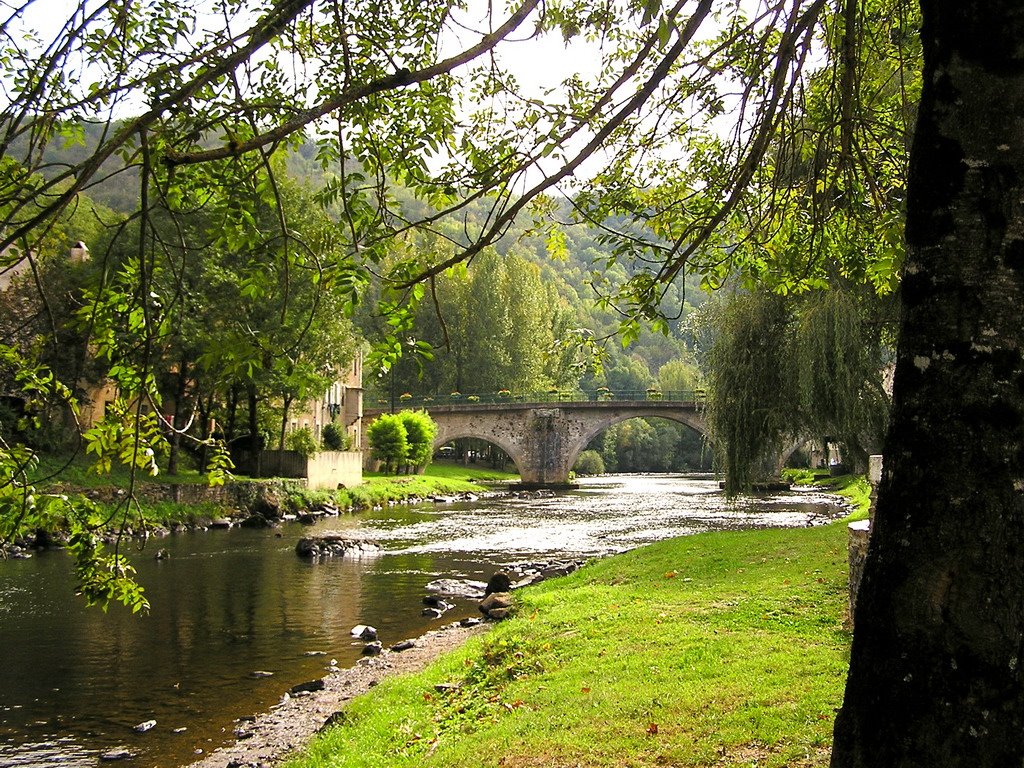
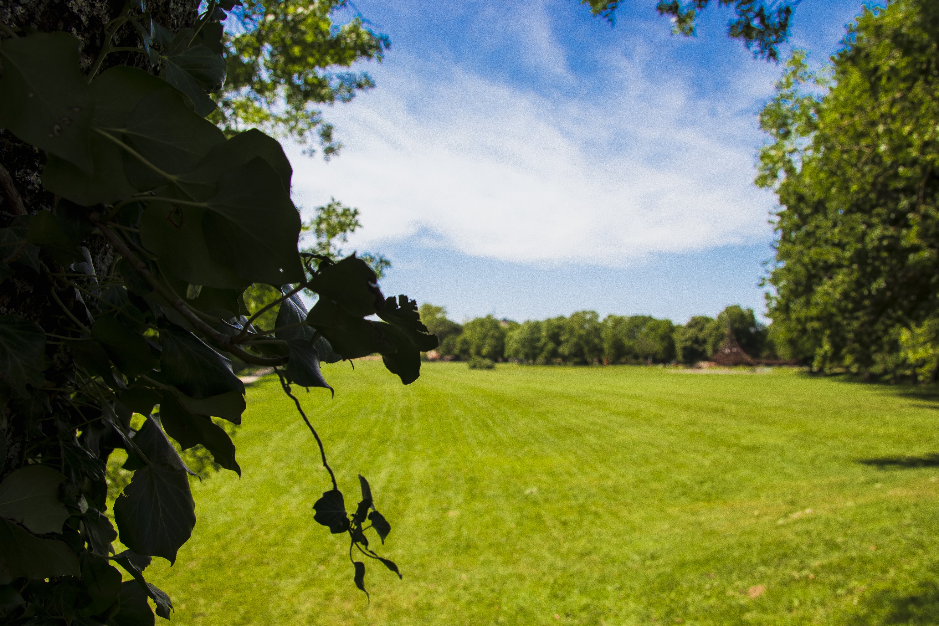
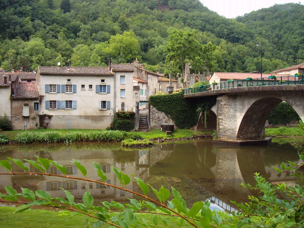
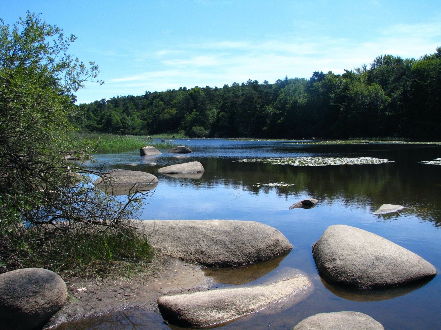
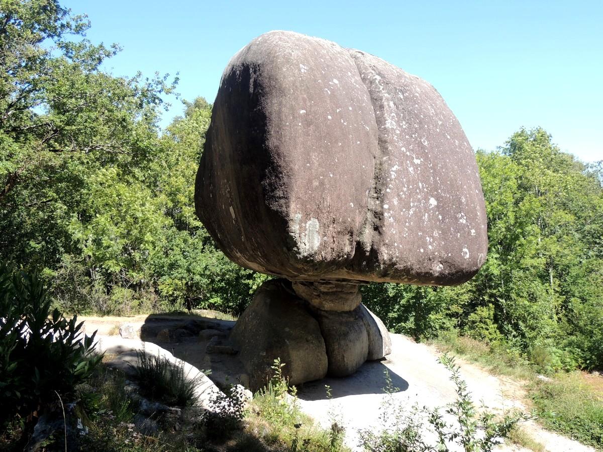
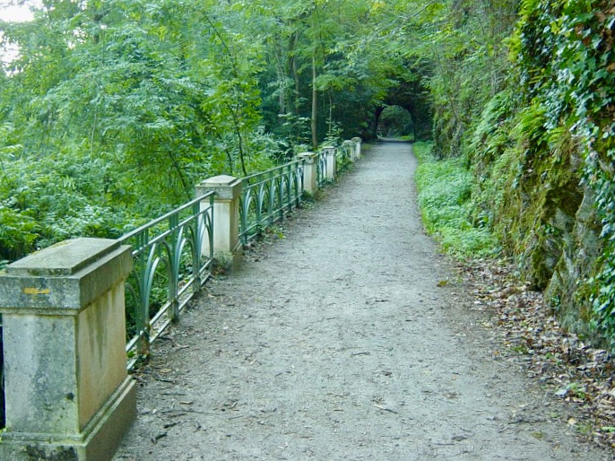
Here is a nice hike near Castres. Between woods, rivers and plains, the route draws a loop within a beautiful and varied flora. Everything is there to have a good time even if the first part of the hike can be sporty for some.

Already more than 200,000 users!
Uphill
143m
Highest point
295m
Downhill
143m
Lowest point
177m
Route type
Loop
Download the map on your smartphone to save battery and rest assured to always keep access to the route, even without signal.
Includes IGN France and Swisstopo.
I indicate whether dogs are allowed or prohibited on this trail
All year
1 rating
Also enjoy:

Already more than 200,000 users!