Uphill
207m
Length
4km
Duration
1h30min
Elev gain
207m
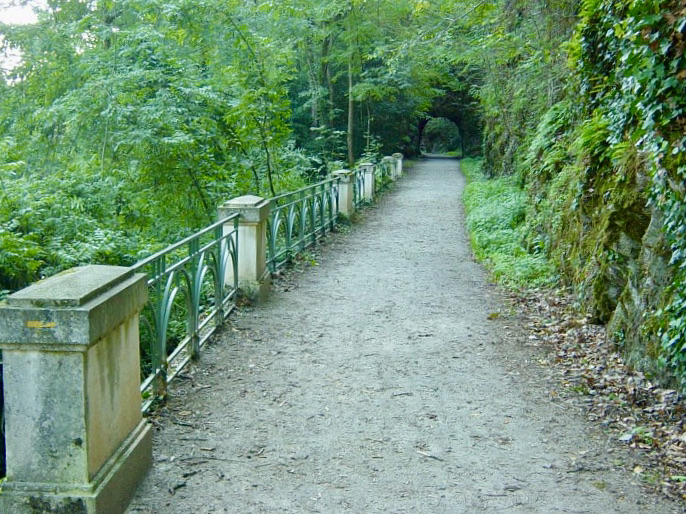
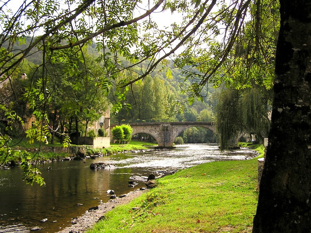
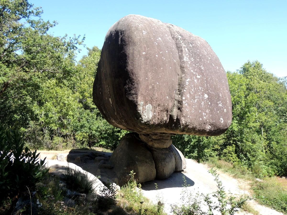
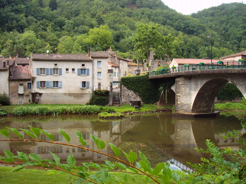
Starting from Burlats, this hike makes a nice loop on the heights of the village. After crossing the Agoût, the path climbs rapidly and offers lovely viewpoints all along the route. The trail then descends and runs along the Agoût to return to the starting point.

Already more than 200,000 users!
Uphill
207m
Highest point
335m
Downhill
207m
Lowest point
167m
Route type
Loop
Download the map on your smartphone to save battery and rest assured to always keep access to the route, even without signal.
Includes IGN France and Swisstopo.
I indicate whether dogs are allowed or prohibited on this trail
All year
1 rating
Also enjoy:

Already more than 200,000 users!