Uphill
549m
Length
18km
Duration
6h
Elev gain
549m
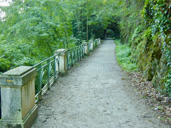
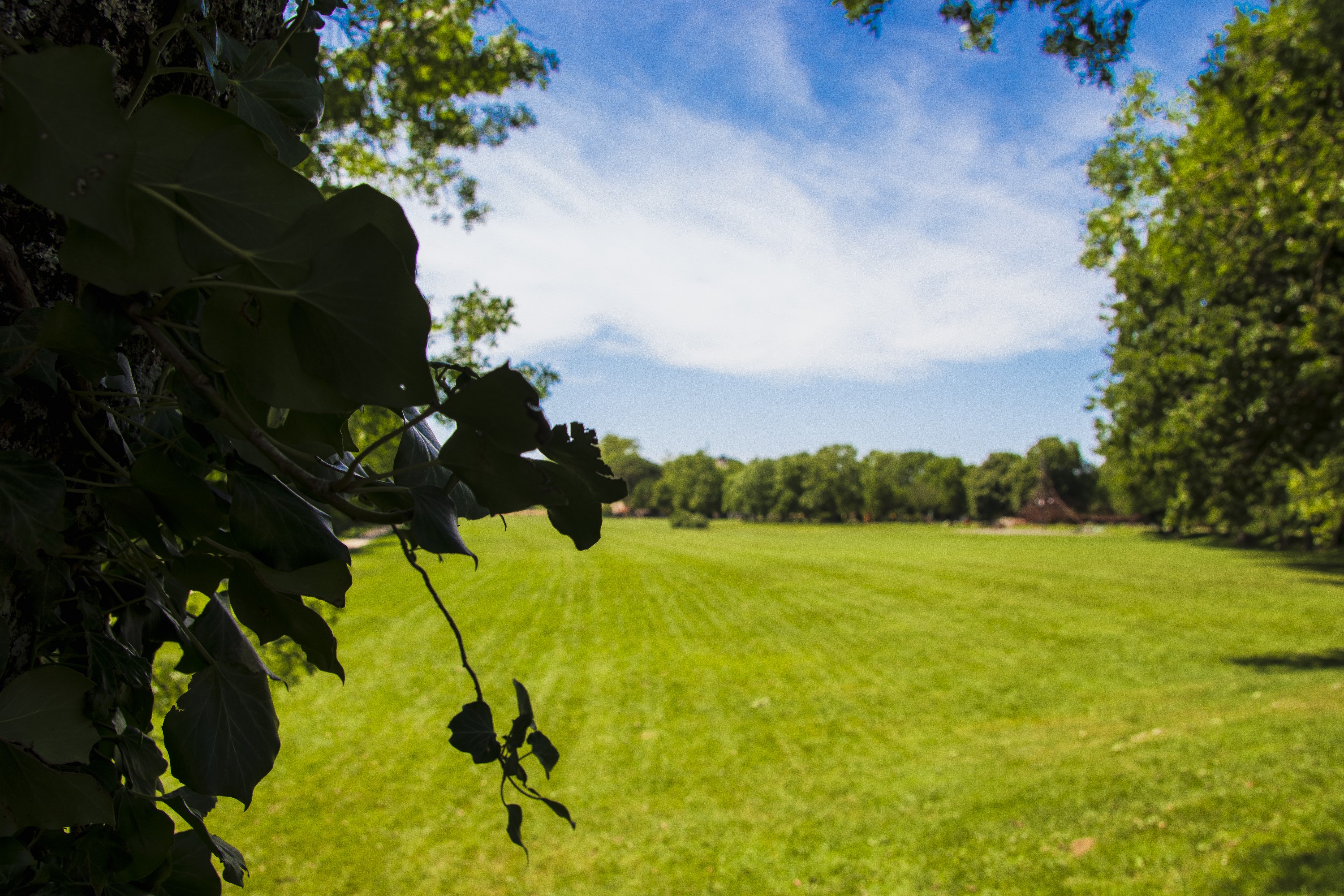
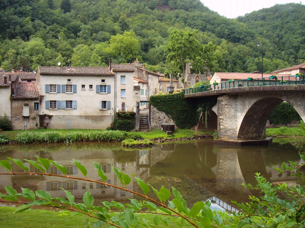
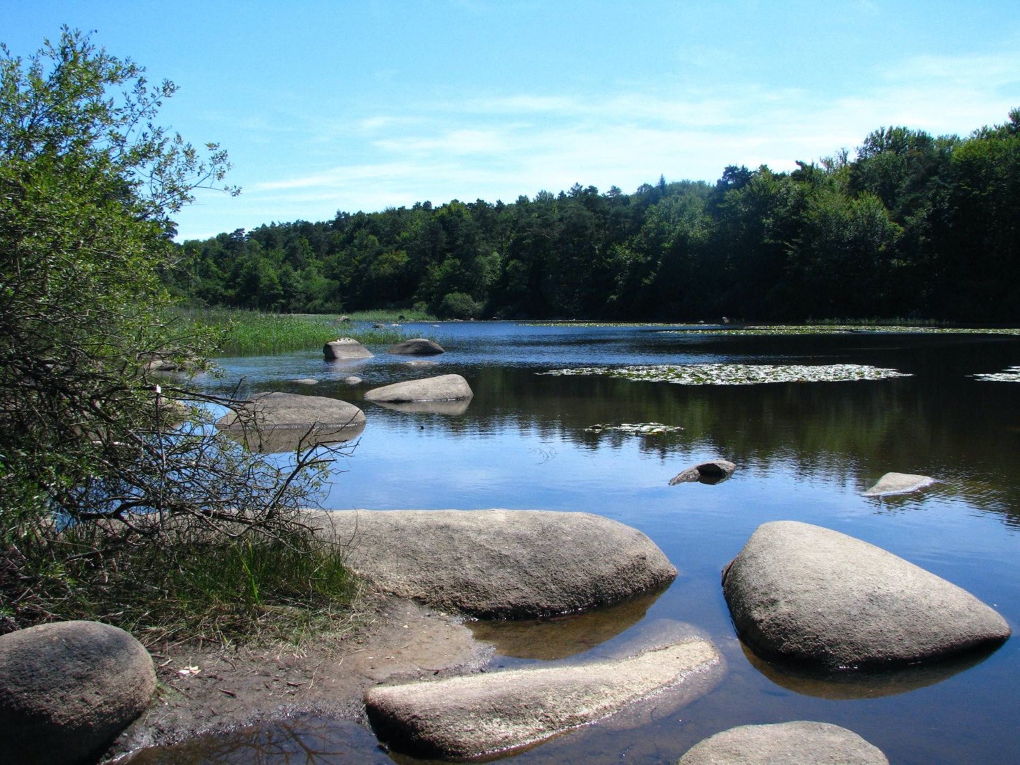
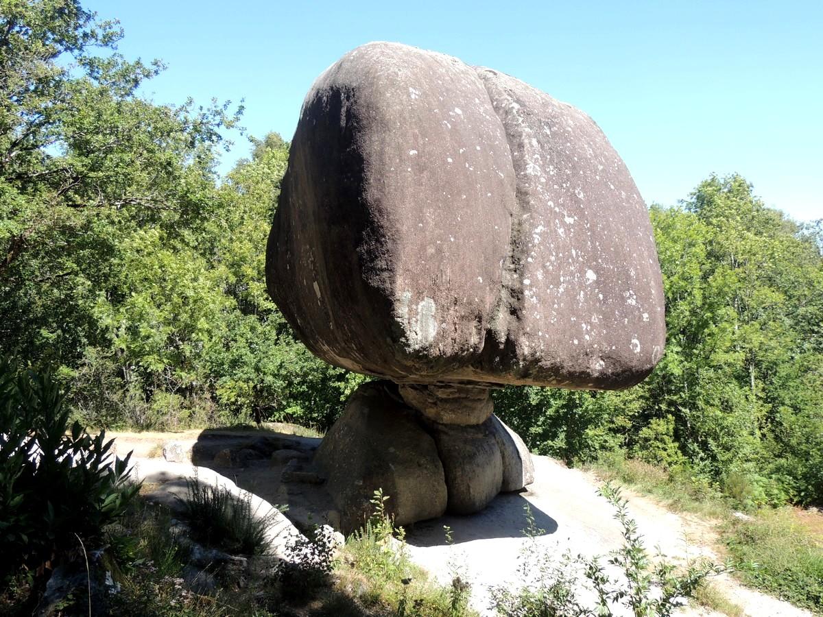
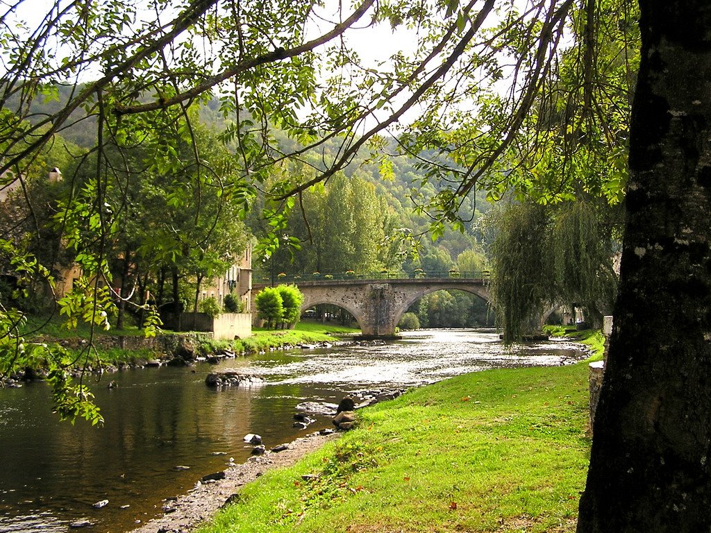
Departing from Les Salvages, this walk runs along the Agoût before climbing to the level of Burlats. The route continues on the heights passing through the small villages of La Glène and Mairas, before descending to the starting point.

Already more than 200,000 users!
Uphill
549m
Highest point
435m
Downhill
549m
Lowest point
167m
Route type
Loop
Download the map on your smartphone to save battery and rest assured to always keep access to the route, even without signal.
Includes IGN France and Swisstopo.
I indicate whether dogs are allowed or prohibited on this trail
All year
0 ratings
Also enjoy:

Already more than 200,000 users!