Uphill
317m
Length
13km
Duration
4h
Elev gain
317m
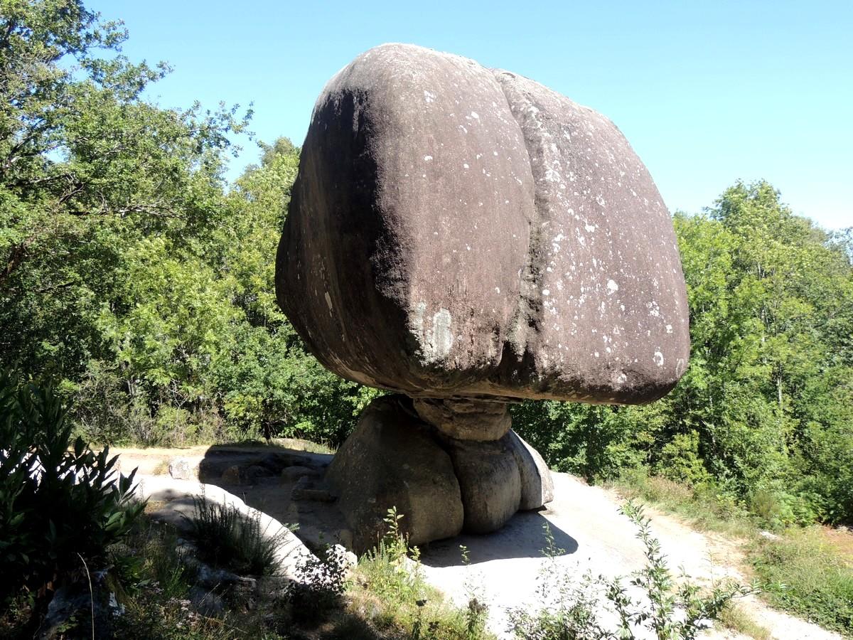
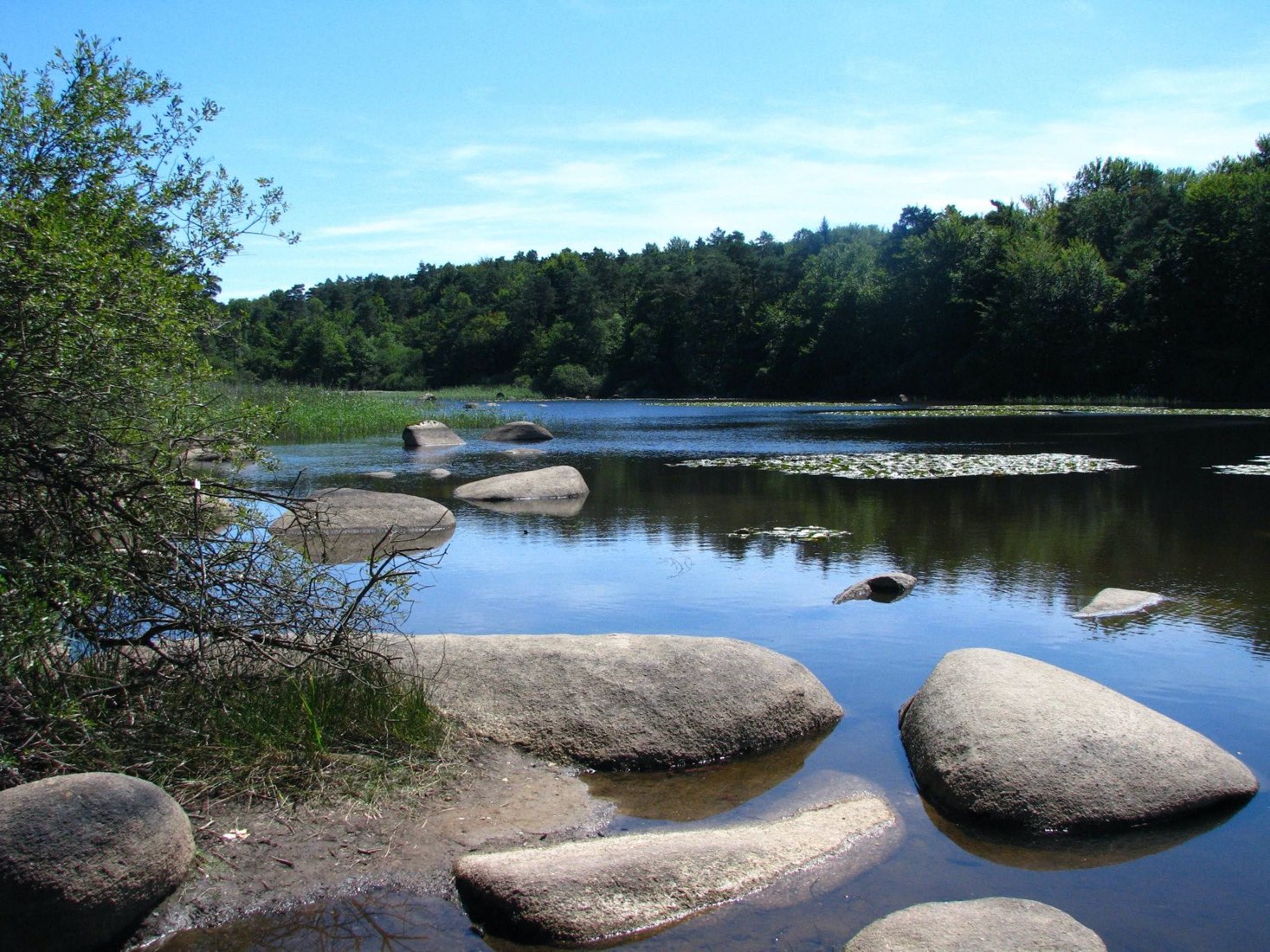
From Lac du Merle, this loop follows the "sentier des merveilles" (path of wonders) and thus allows you to discover granite sculptures with unexpected shapes: the Crémaussel rocks.

Already more than 200,000 users!
Uphill
317m
Highest point
684m
Downhill
317m
Lowest point
536m
Route type
Loop
Download the map on your smartphone to save battery and rest assured to always keep access to the route, even without signal.
Includes IGN France and Swisstopo.
I indicate whether dogs are allowed or prohibited on this trail
All year
0 ratings
Also enjoy:

Already more than 200,000 users!