Uphill
150m
Length
6km
Duration
2h
Elev gain
150m
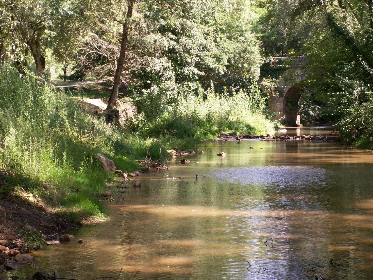
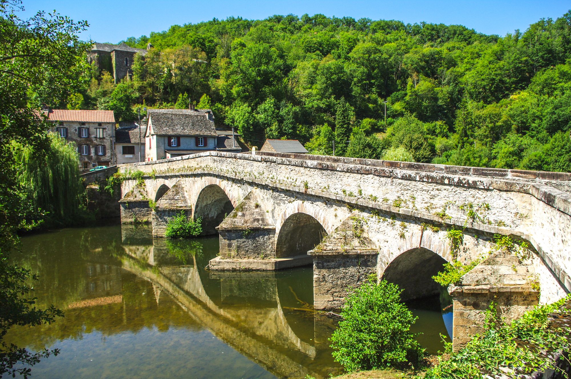
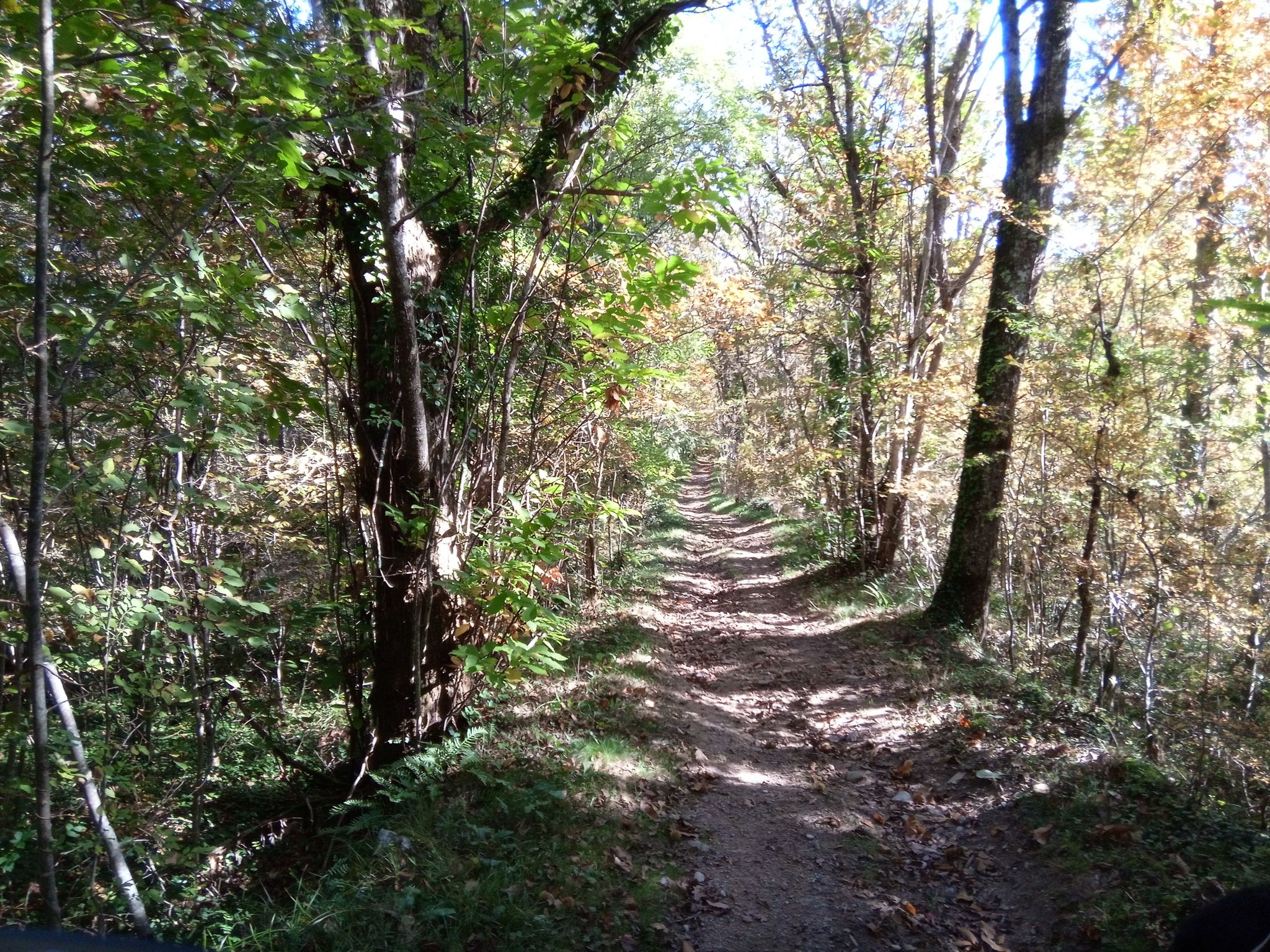
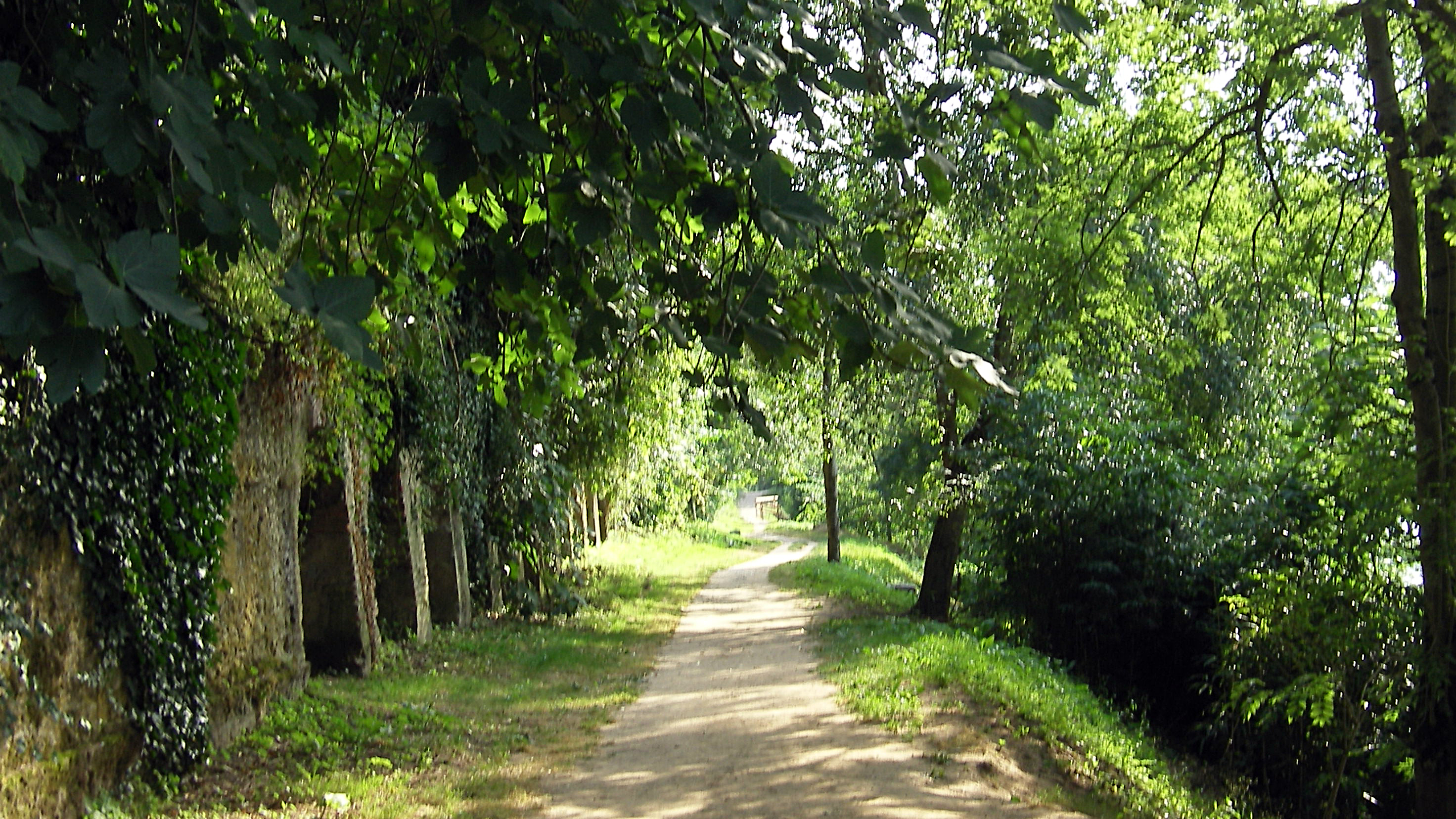
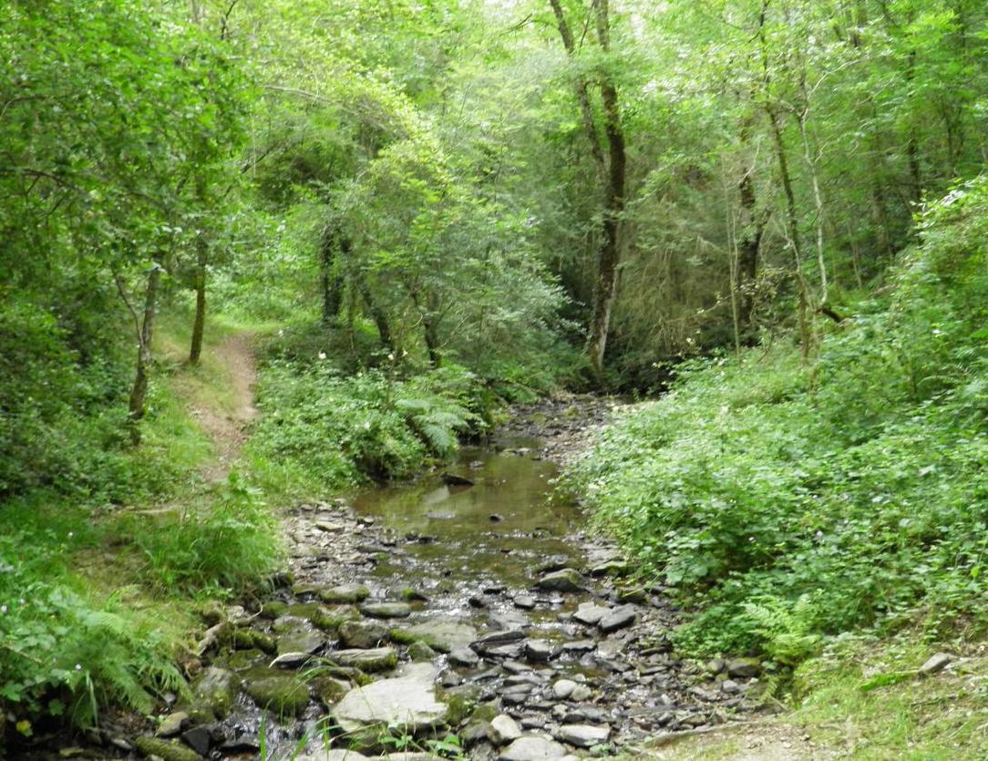
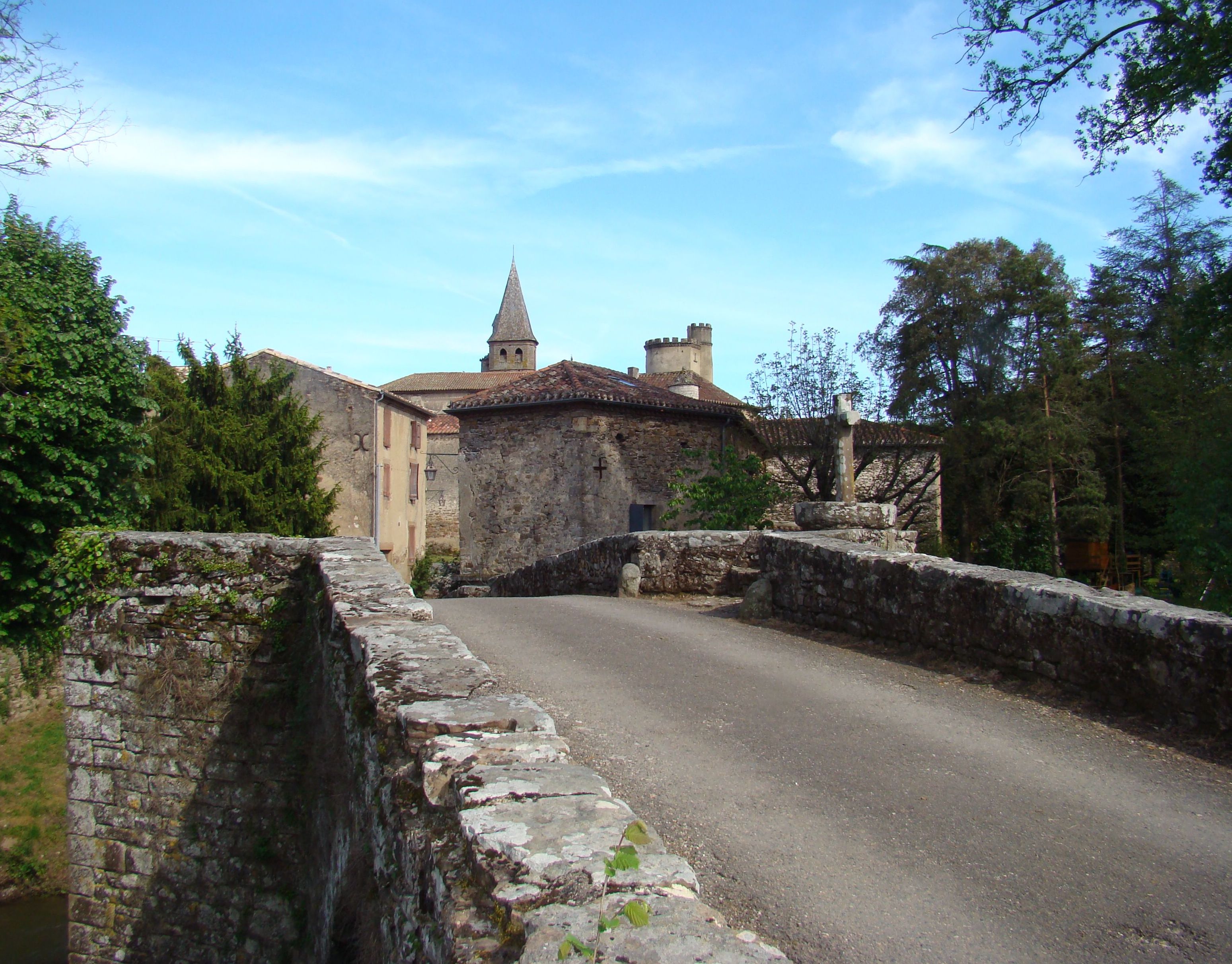
Here is a nice walk starting from Monestiés, an old fortified village. The route, crossing the Cérou twice, offers beautiful views of the village and the surrounding valleys.
In rainy weather, some sections of this route can be slippery and dangerous.

Already more than 200,000 users!
Uphill
150m
Highest point
318m
Downhill
150m
Lowest point
201m
Route type
Loop
Download the map on your smartphone to save battery and rest assured to always keep access to the route, even without signal.
Includes IGN France and Swisstopo.
I indicate whether dogs are allowed or prohibited on this trail
All year
0 ratings
Also enjoy:

Already more than 200,000 users!