Uphill
174m
Length
5km
Duration
1h30min
Elev gain
174m
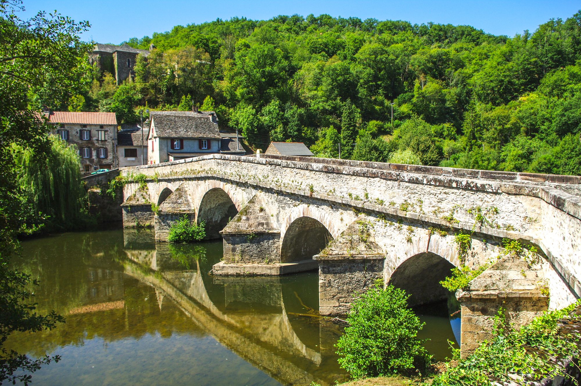
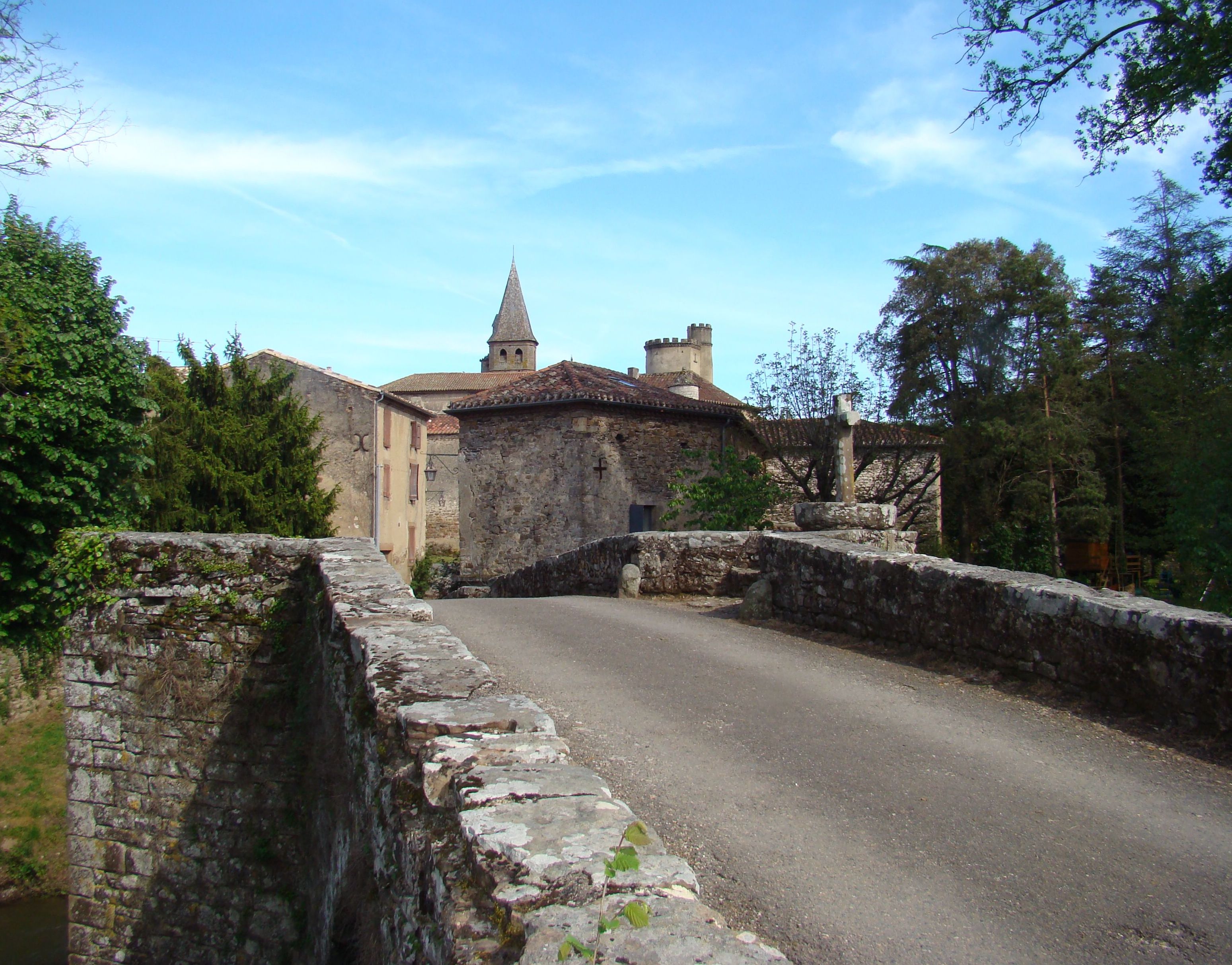
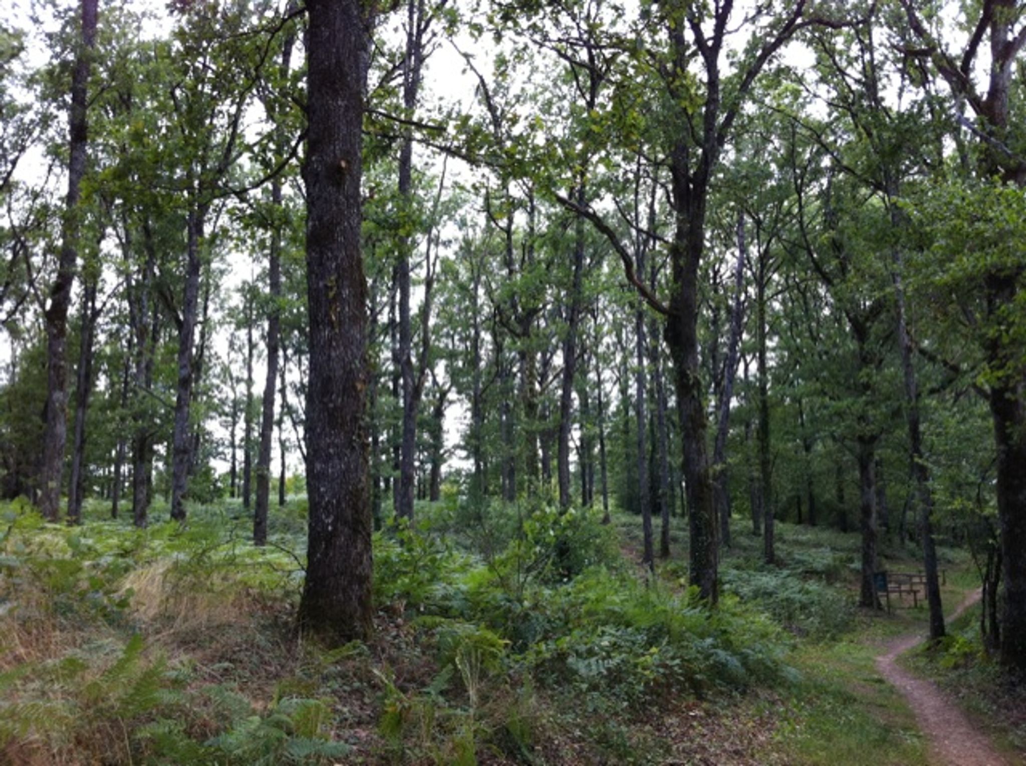
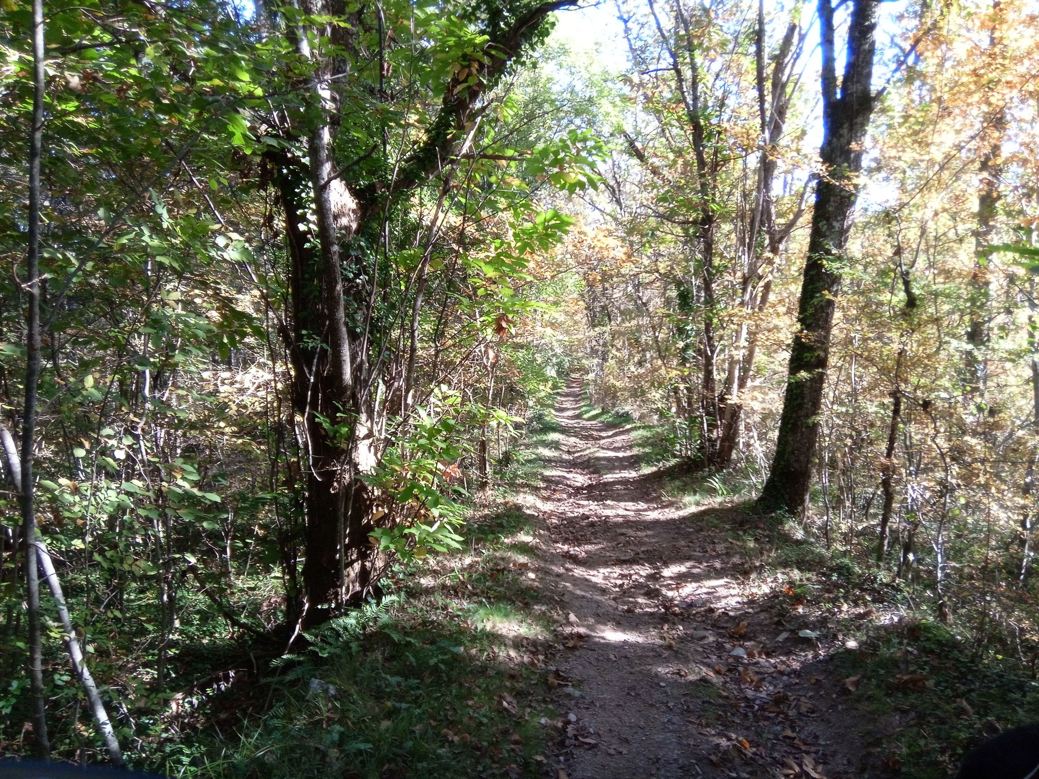
This walk makes a loop between Mirandol-Bourgnounac and Carelié.
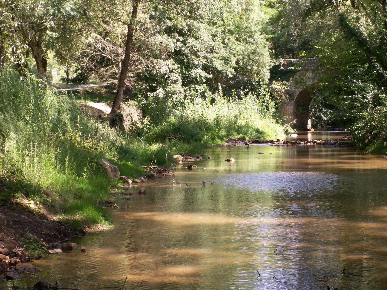
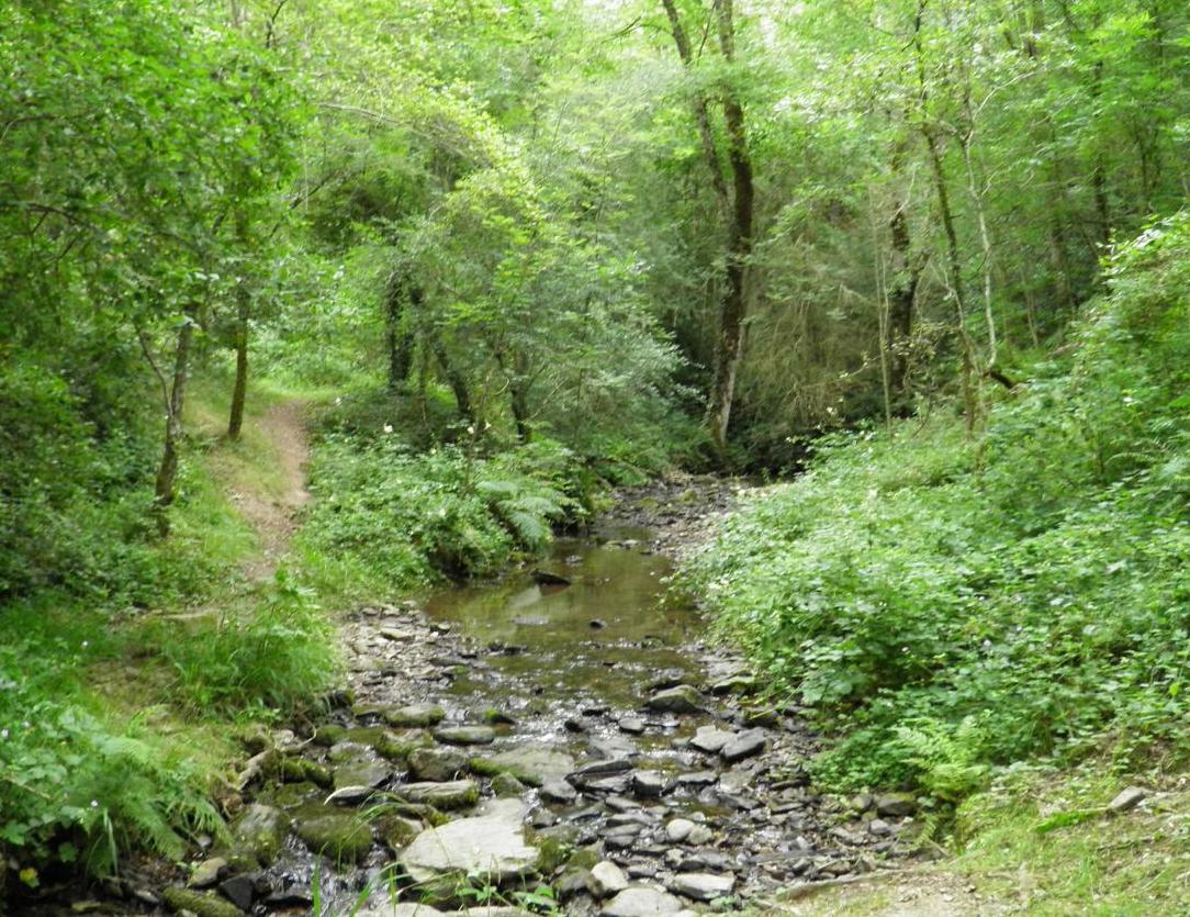
Between forest and agricultural fields, this route with diverse and varied landscapes offers beautiful views.

Already more than 200,000 users!
Uphill
174m
Highest point
399m
Downhill
174m
Lowest point
244m
Route type
Loop
Download the map on your smartphone to save battery and rest assured to always keep access to the route, even without signal.
Includes IGN France and Swisstopo.
I indicate whether dogs are allowed or prohibited on this trail
All year
0 ratings
Also enjoy:

Already more than 200,000 users!