Uphill
37m
Length
2km
Duration
30min
Elev gain
37m
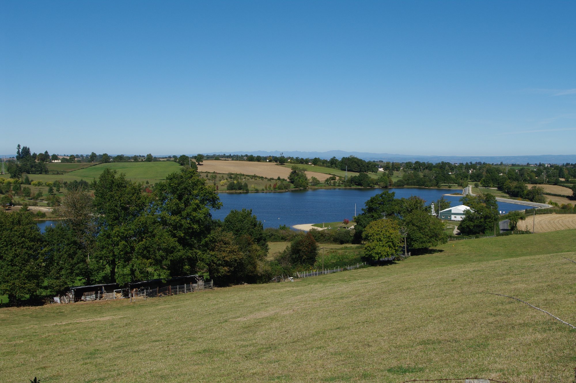
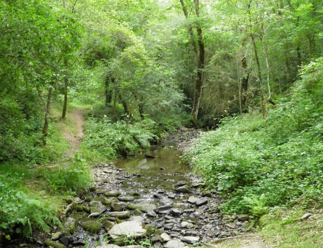
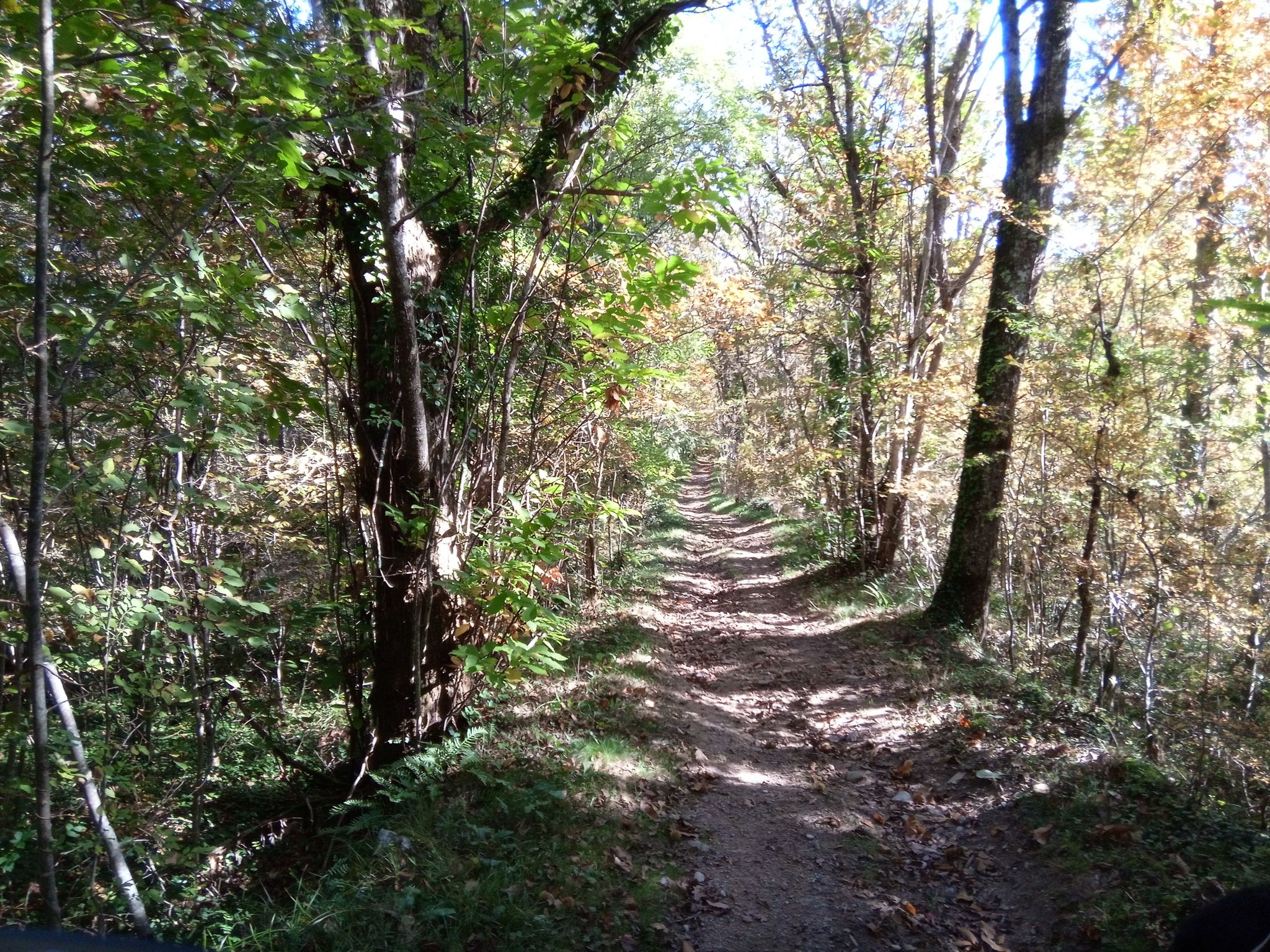
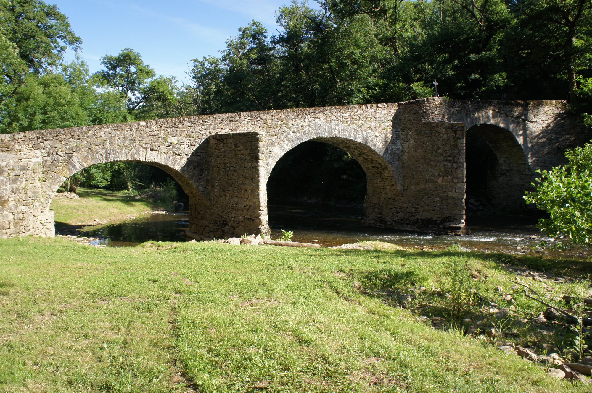
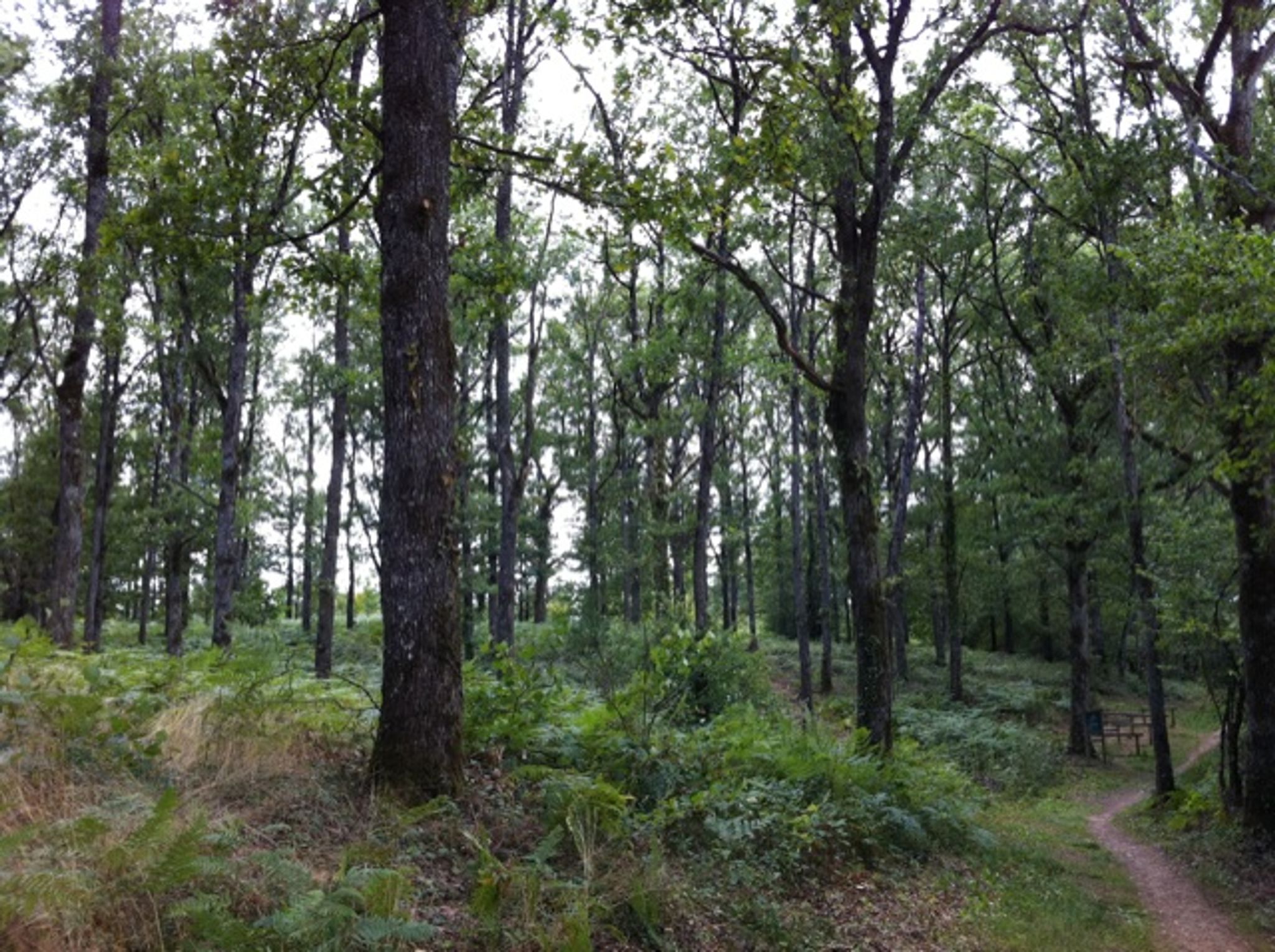
Looking for a little getaway in the undergrowth? There it is. This walk makes a loop in the woods of Gamasse, a natural site near Naucelle.

Already more than 200,000 users!
Uphill
37m
Highest point
494m
Downhill
37m
Lowest point
452m
Route type
Loop
Download the map on your smartphone to save battery and rest assured to always keep access to the route, even without signal.
Includes IGN France and Swisstopo.
I indicate whether dogs are allowed or prohibited on this trail
All year
0 ratings
Also enjoy:

Already more than 200,000 users!