Uphill
169m
Length
6km
Duration
2h
Elev gain
169m
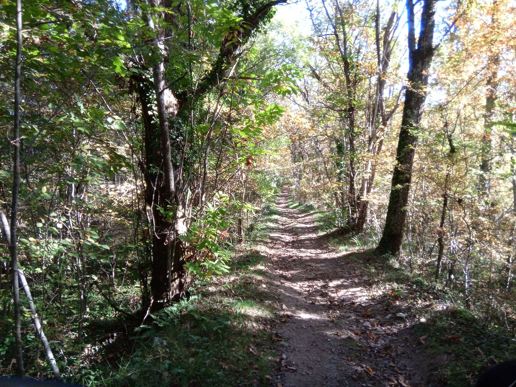
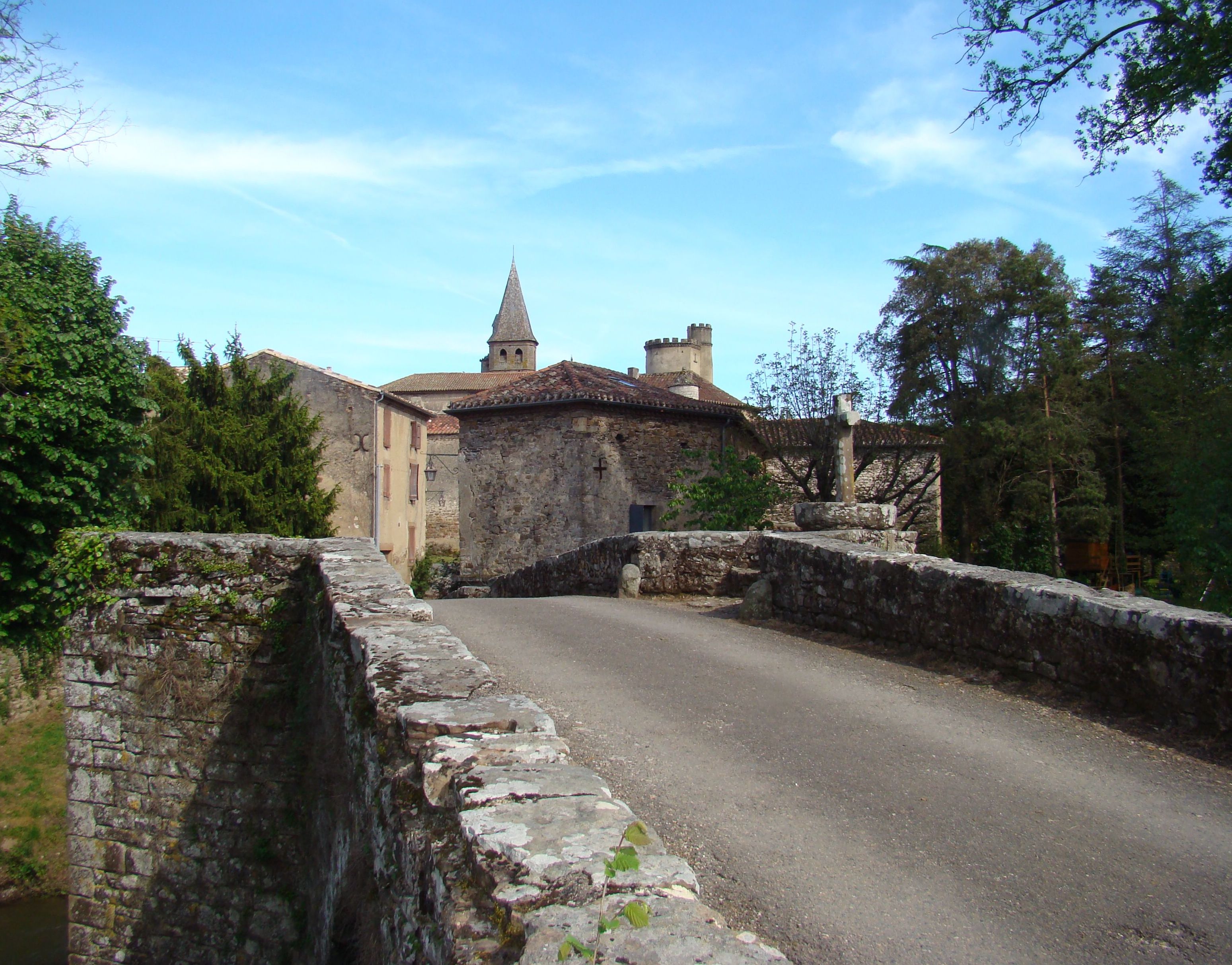
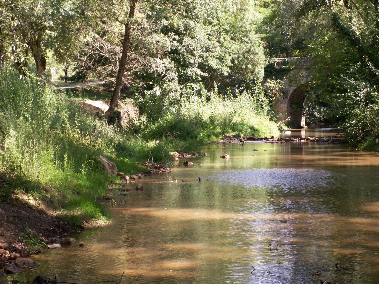
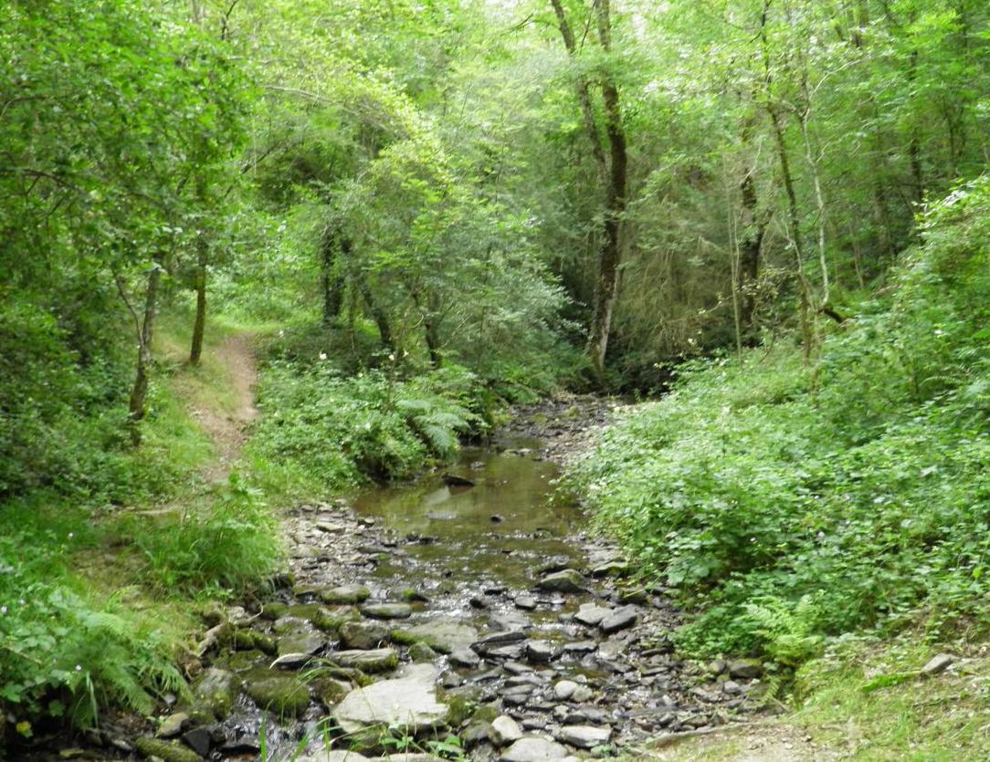
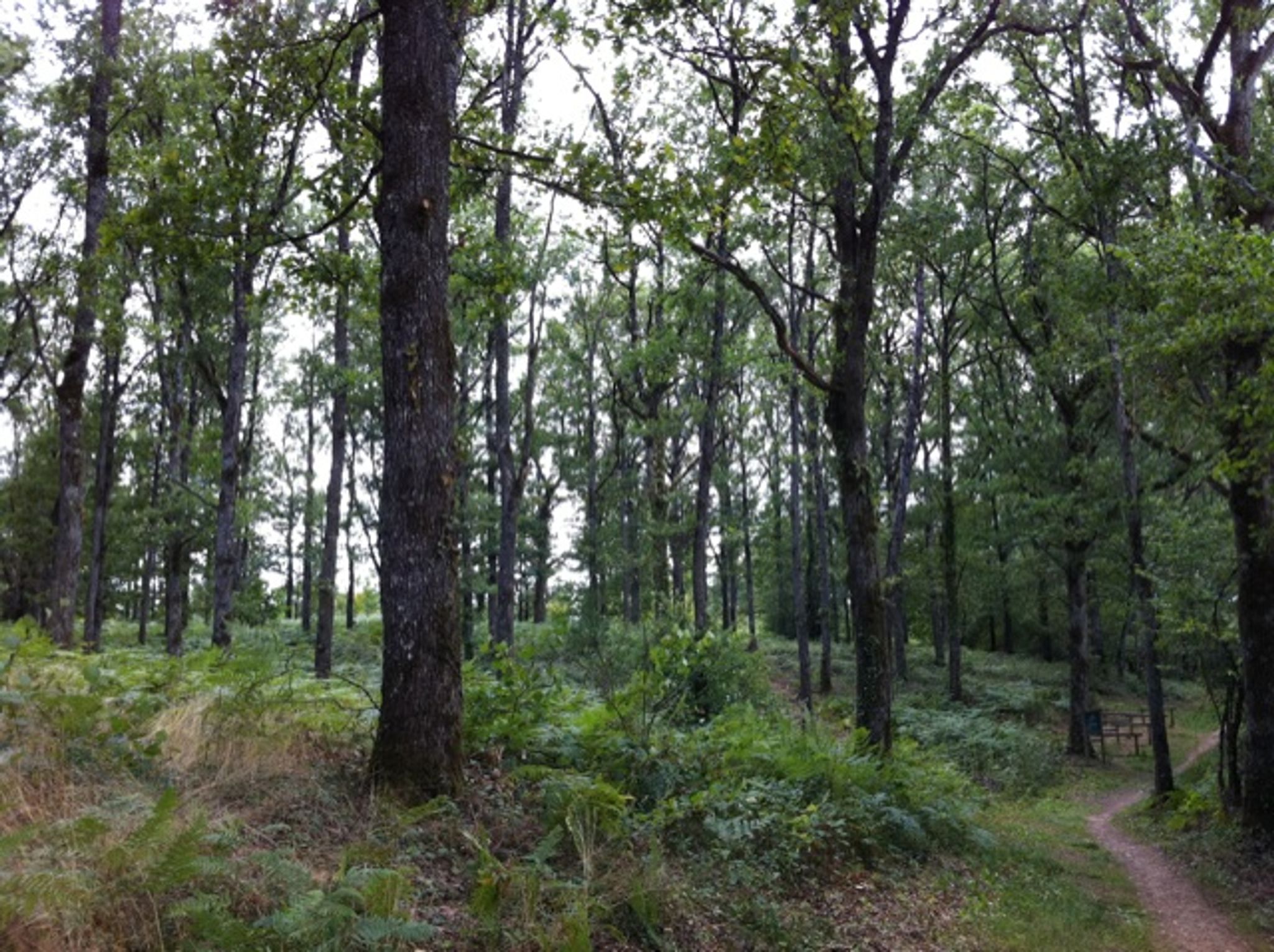
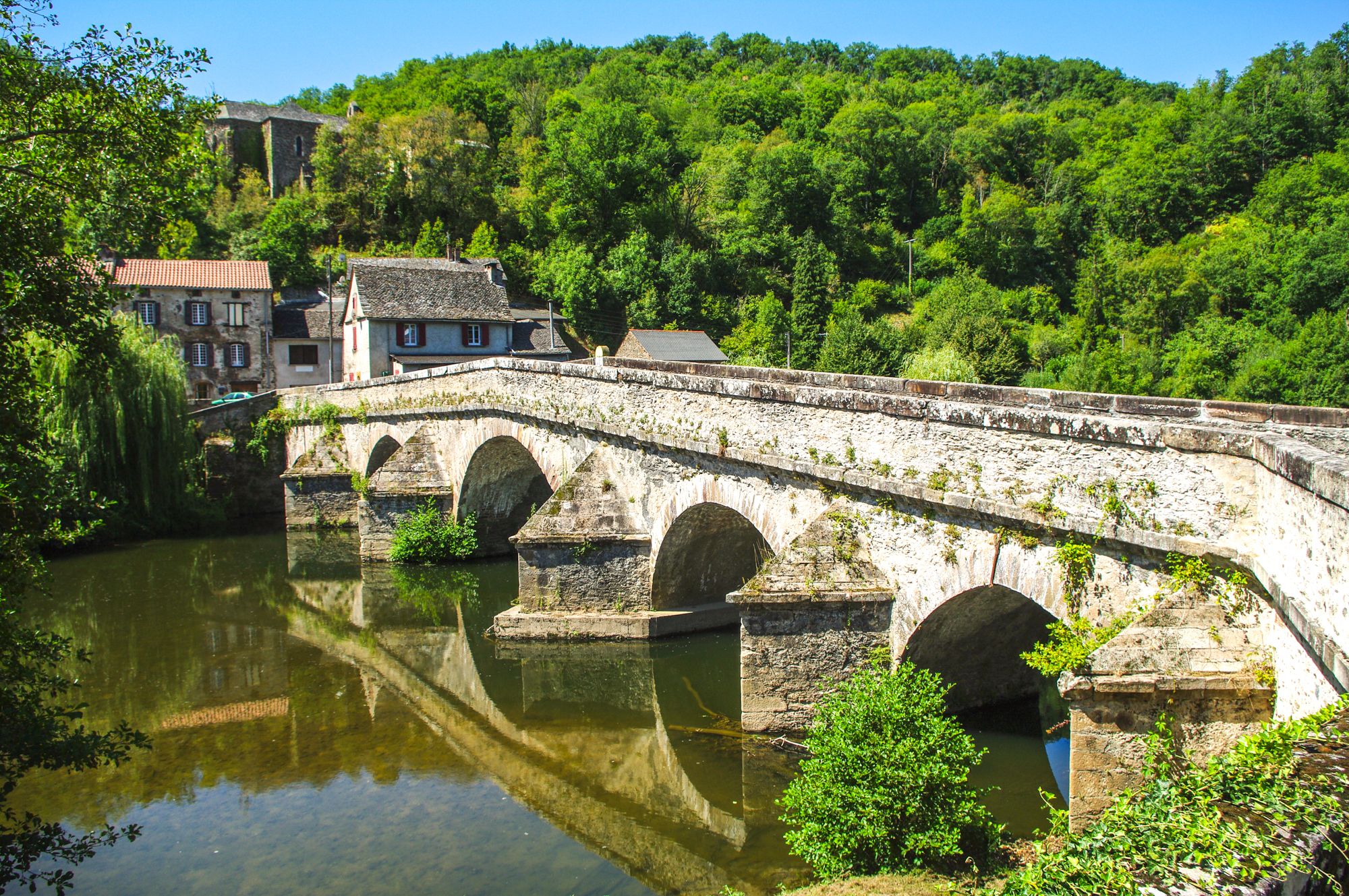
Starting from Mirandol-Bourgnounac, this route joins the Viaur and runs along it, passing through the villages of Moulin Neuf and Pont de Cirou. The part by the river is very pleasant, on a wooded path, while the passages in the land take small roads and cross hamlets.

Already more than 200,000 users!
Uphill
169m
Highest point
401m
Downhill
169m
Lowest point
236m
Route type
Loop
Download the map on your smartphone to save battery and rest assured to always keep access to the route, even without signal.
Includes IGN France and Swisstopo.
I indicate whether dogs are allowed or prohibited on this trail
All year
0 ratings
Also enjoy:

Already more than 200,000 users!