Uphill
33m
Length
5km
Duration
1h30min
Elev gain
33m
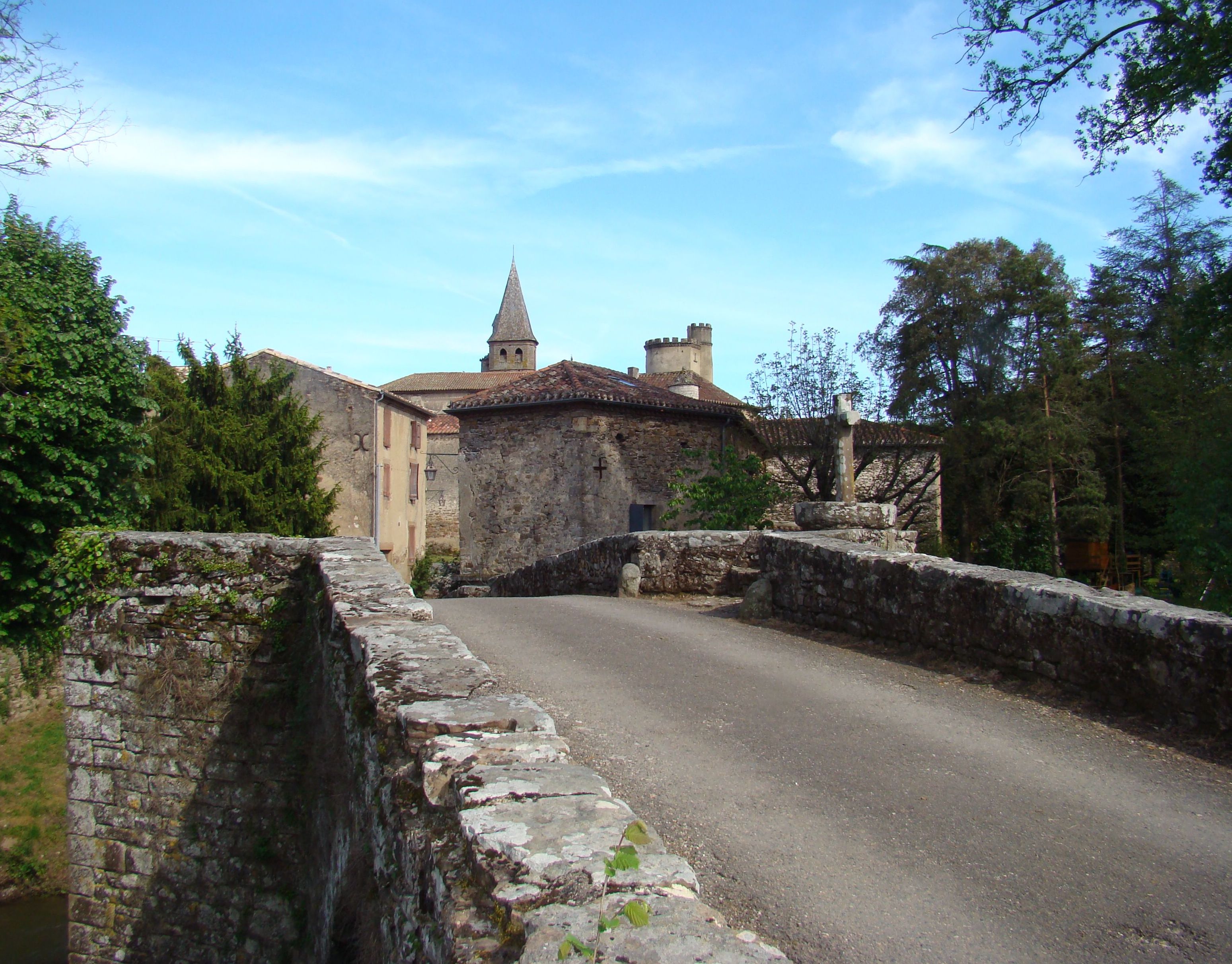
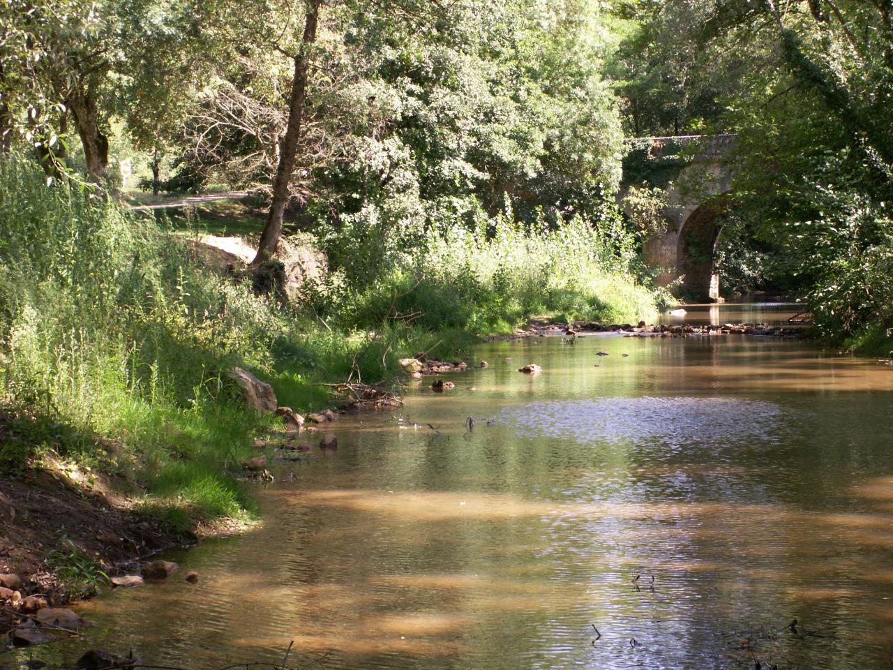
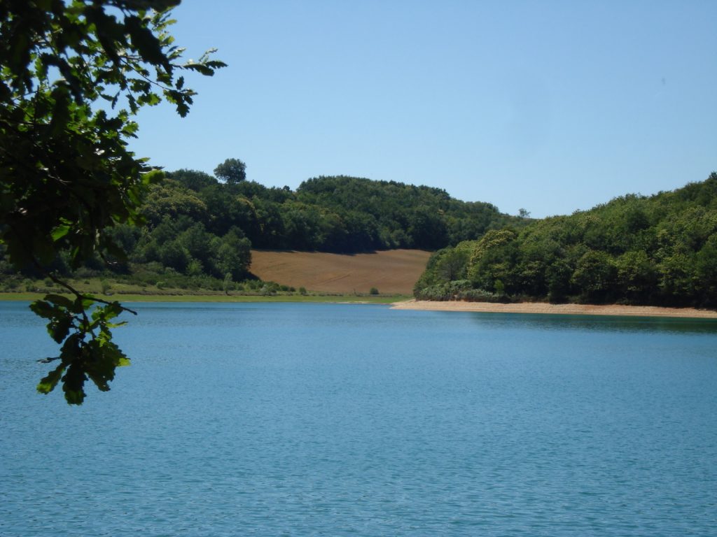
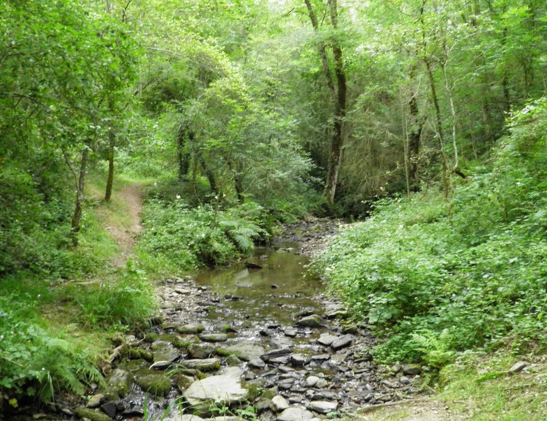
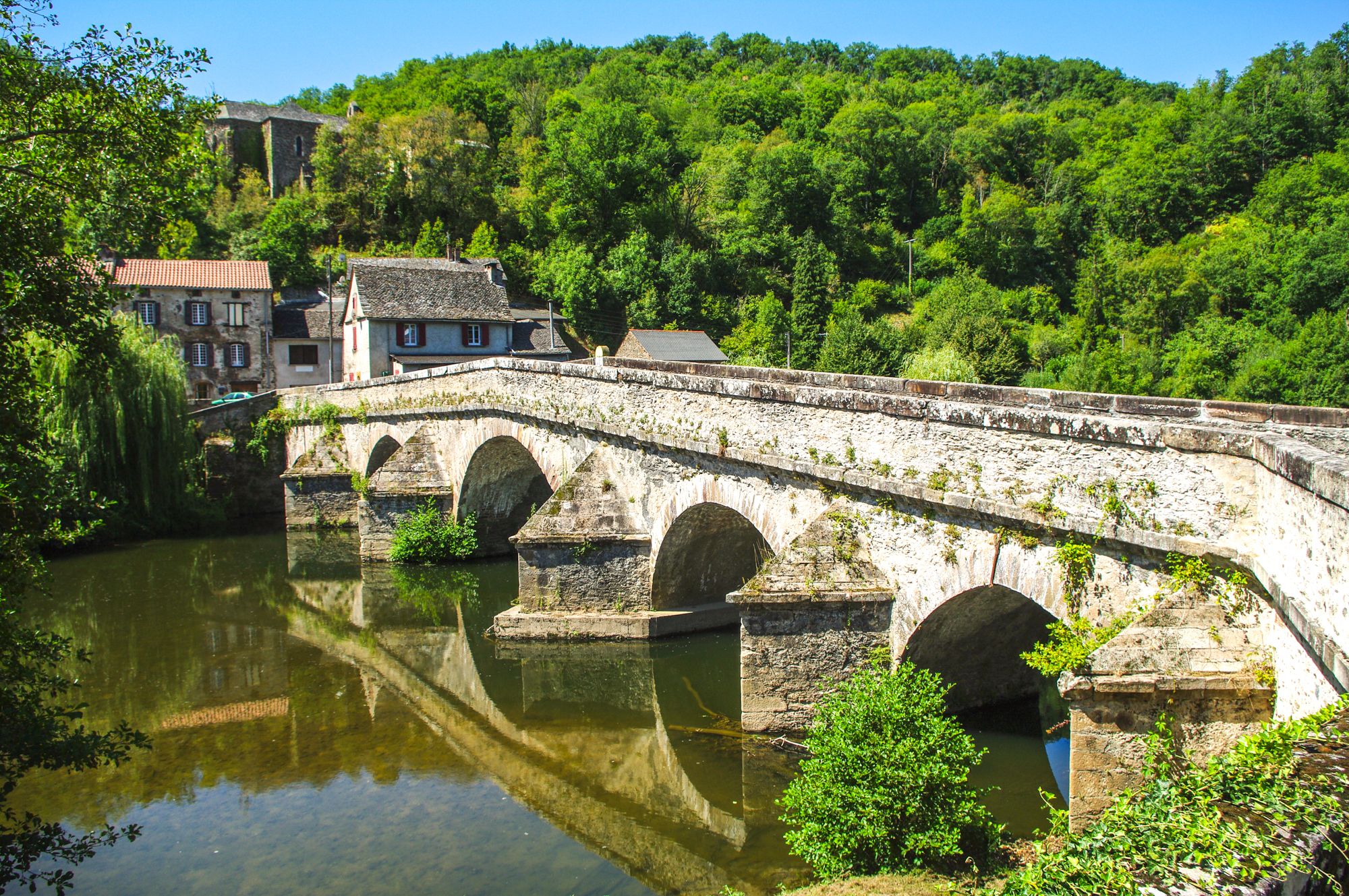
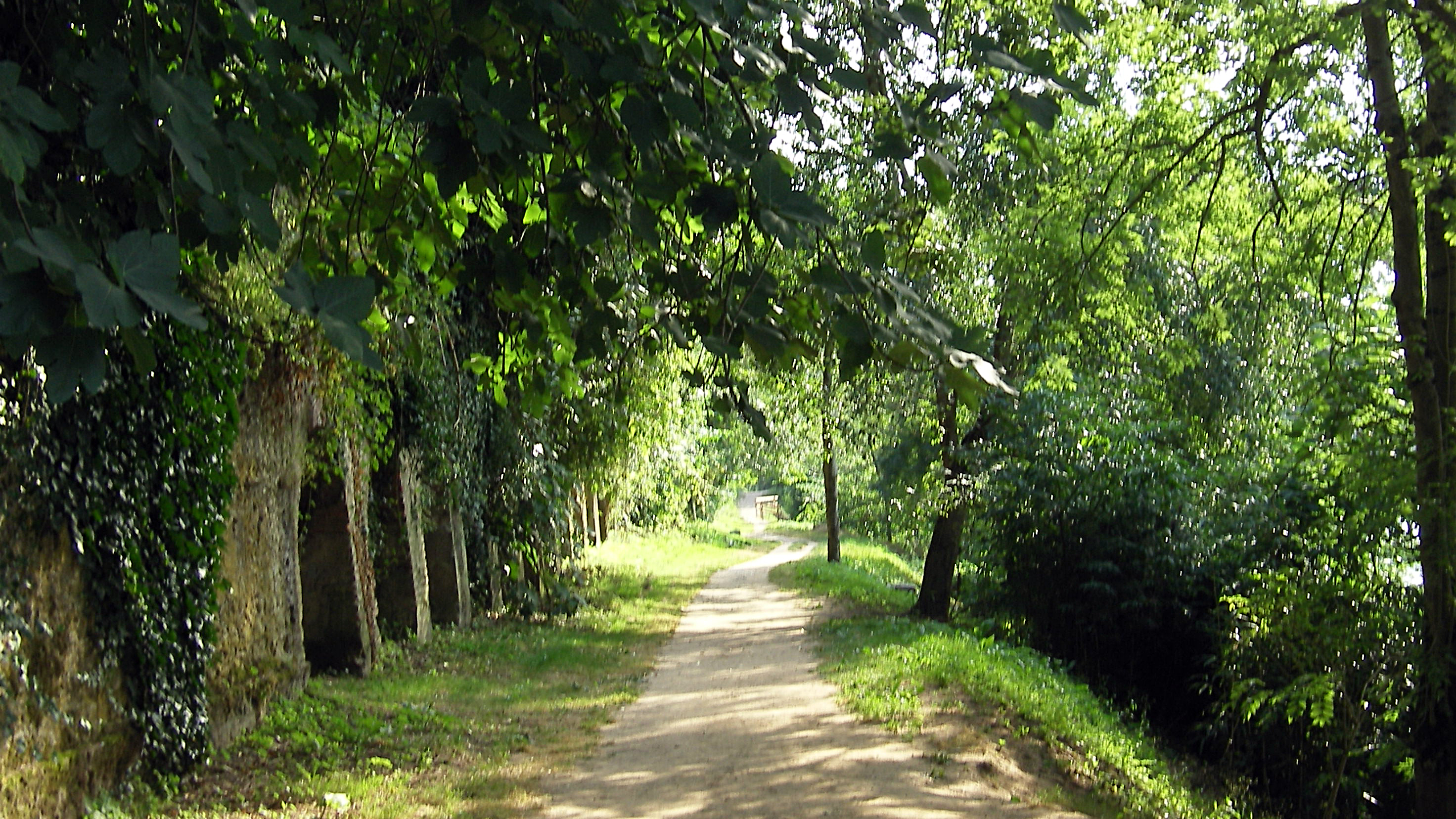
A sudden desire for nature in the city? Here is a ride that will meet your needs. This round trip takes place in Albi, starting near the Tarn then following the Causses stream before returning to the starting point.

Already more than 200,000 users!
Uphill
33m
Highest point
175m
Downhill
33m
Lowest point
144m
Route type
There and back
Download the map on your smartphone to save battery and rest assured to always keep access to the route, even without signal.
Includes IGN France and Swisstopo.
I indicate whether dogs are allowed or prohibited on this trail
All year
0 ratings
Also enjoy:

Already more than 200,000 users!