Uphill
139m
Length
10km
Duration
3h
Elev gain
139m
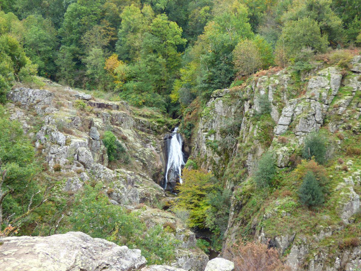
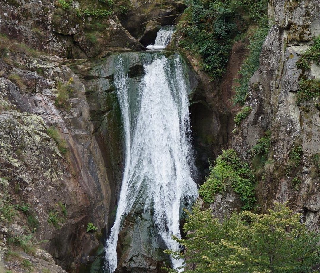
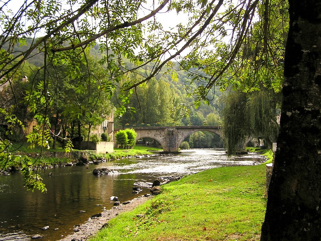
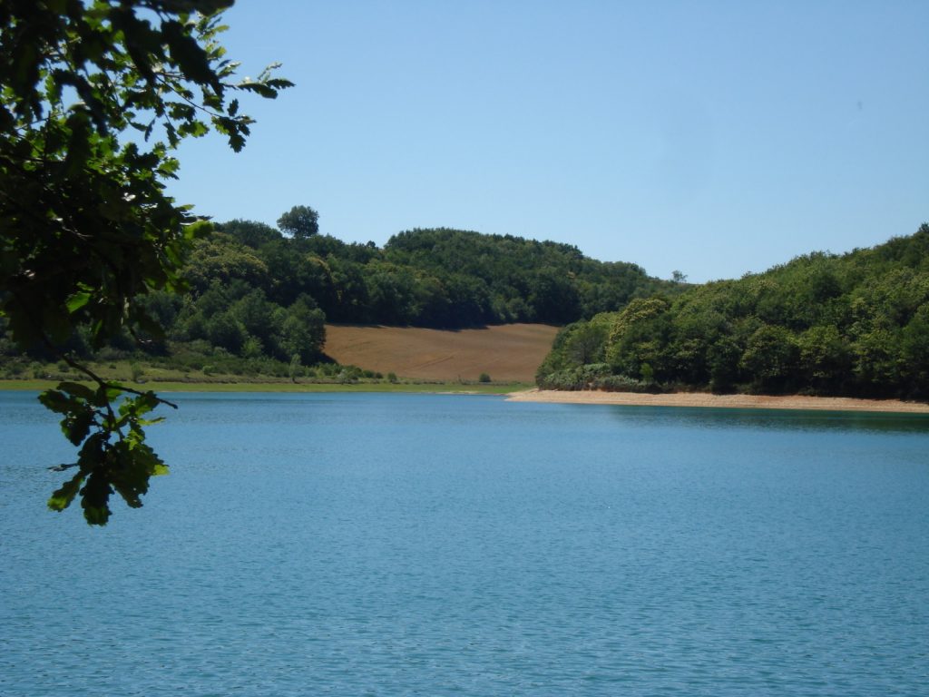
Stroll around the lake of Bancalié on a path alternating between woods, hills and meadows, while keeping the water within sight.
Please note that swimming is prohibited in this lake.

Already more than 200,000 users!
Uphill
139m
Highest point
336m
Downhill
139m
Lowest point
281m
Route type
Loop
Download the map on your smartphone to save battery and rest assured to always keep access to the route, even without signal.
Includes IGN France and Swisstopo.
I indicate whether dogs are allowed or prohibited on this trail
All year
0 ratings
Also enjoy:

Already more than 200,000 users!