Uphill
556m
Length
14km
Duration
5h
Elev gain
556m
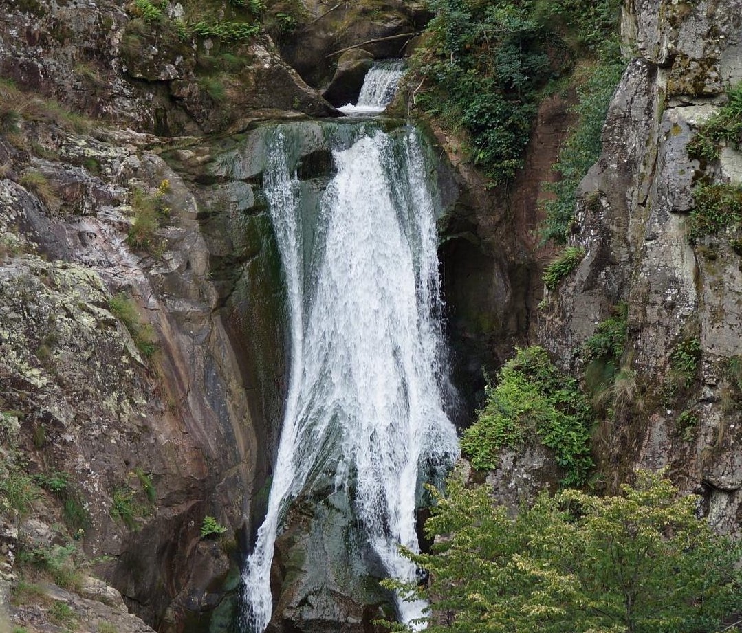
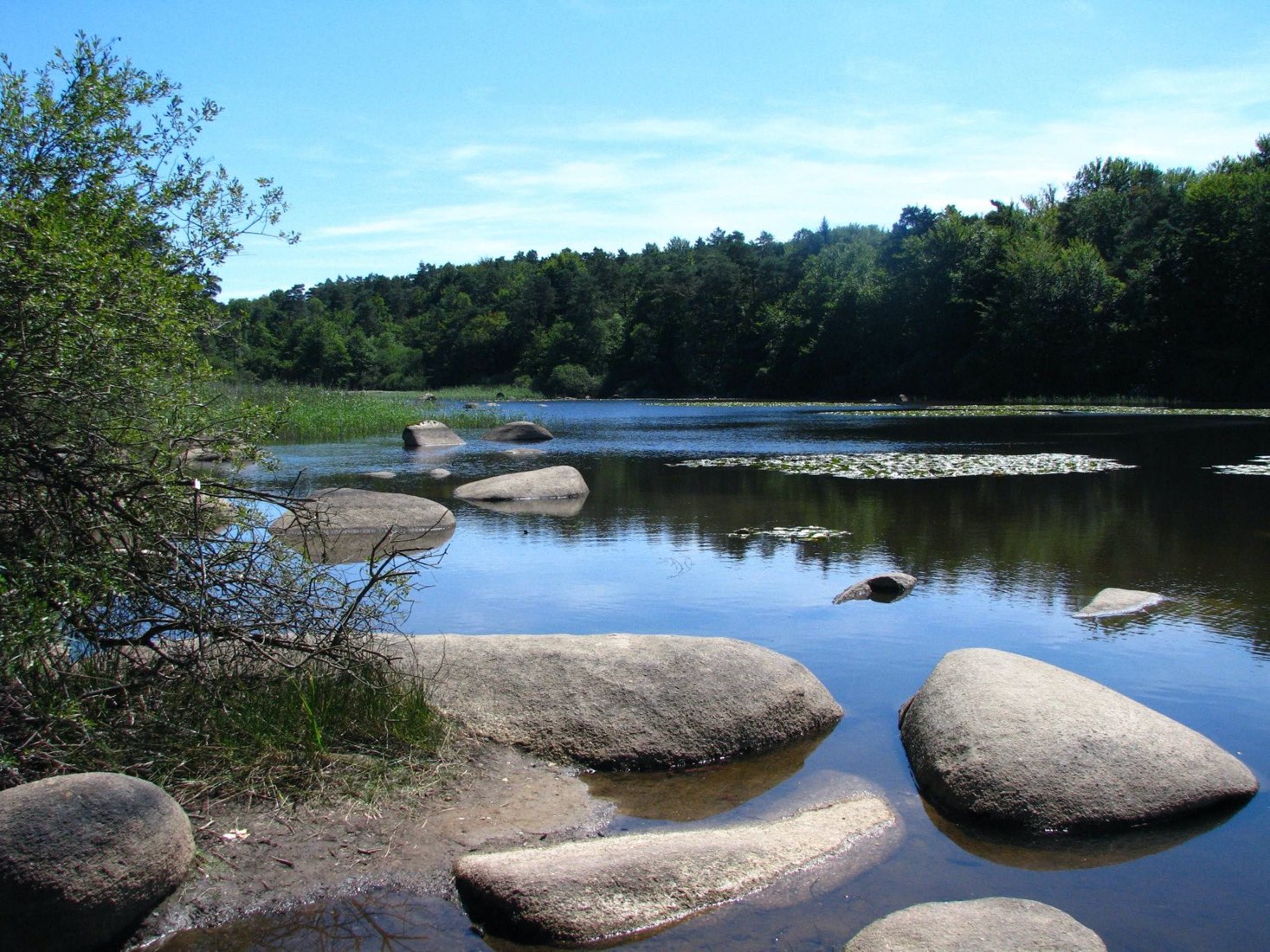
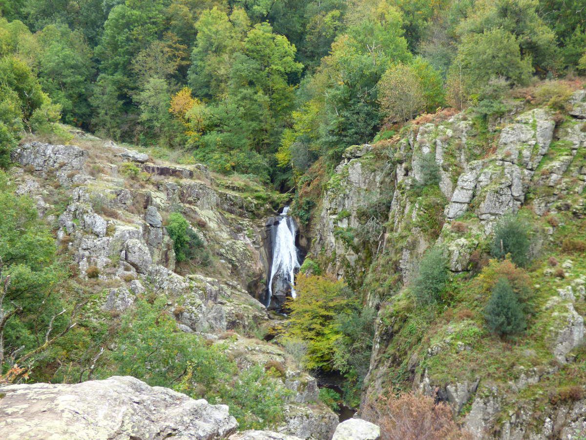
Challenging walk to discover the Arifat waterfall, as well as the wild Dadou valley.

Already more than 200,000 users!
Uphill
556m
Highest point
440m
Downhill
556m
Lowest point
262m
Route type
Loop
Download the map on your smartphone to save battery and rest assured to always keep access to the route, even without signal.
Includes IGN France and Swisstopo.
I indicate whether dogs are allowed or prohibited on this trail
All year
0 ratings
Also enjoy:

Already more than 200,000 users!