Uphill
427m
Length
7km
Duration
3h
Elev gain
427m
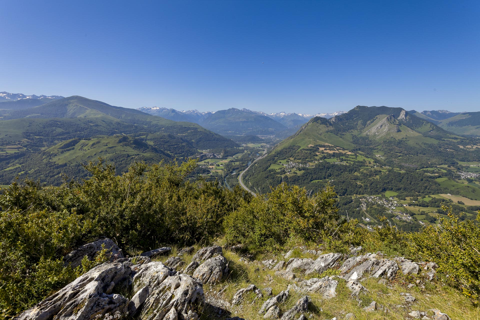
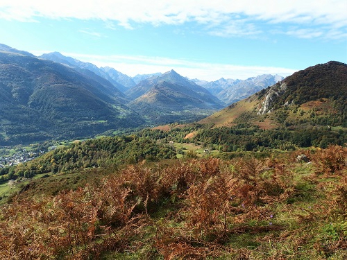
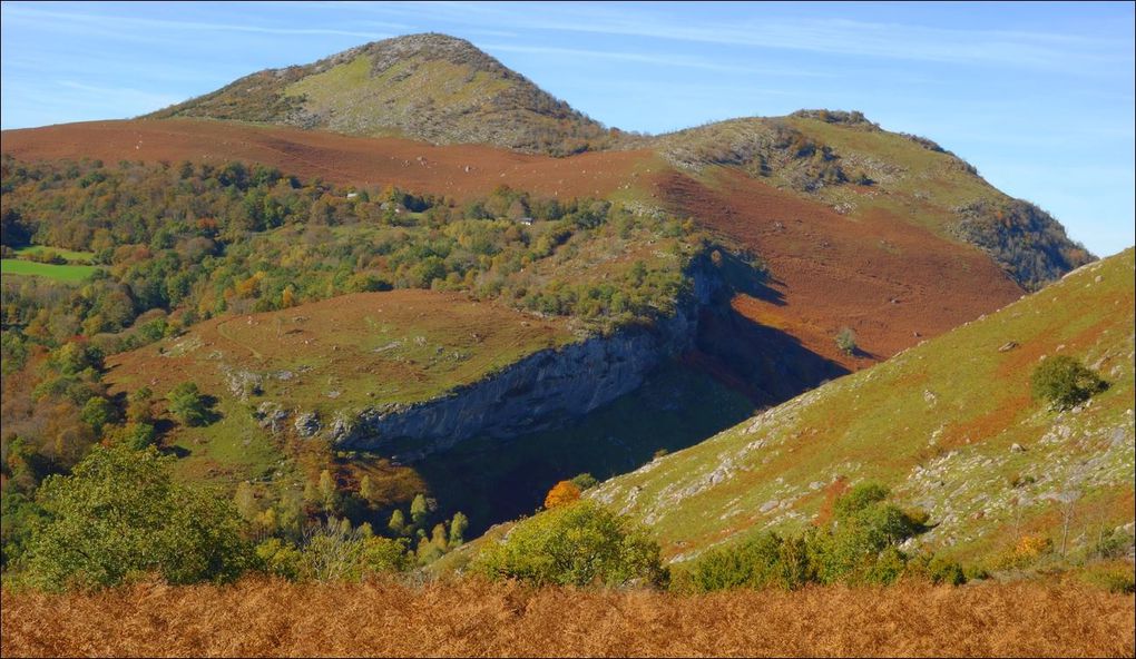
Walk on the heights of Lourdes to the peak of Béout (719 m), which offers a beautiful panorama.
The trail alternates between undergrowth, fields, mountain pastures, and rockier ground near the summit.

Already more than 200,000 users!
Uphill
427m
Highest point
774m
Downhill
427m
Lowest point
360m
Route type
Loop
Download the map on your smartphone to save battery and rest assured to always keep access to the route, even without signal.
Includes IGN France and Swisstopo.
I indicate whether dogs are allowed or prohibited on this trail
All year
3 ratings
Also enjoy:

Already more than 200,000 users!