Uphill
547m
Length
9km
Duration
4h
Elev gain
547m
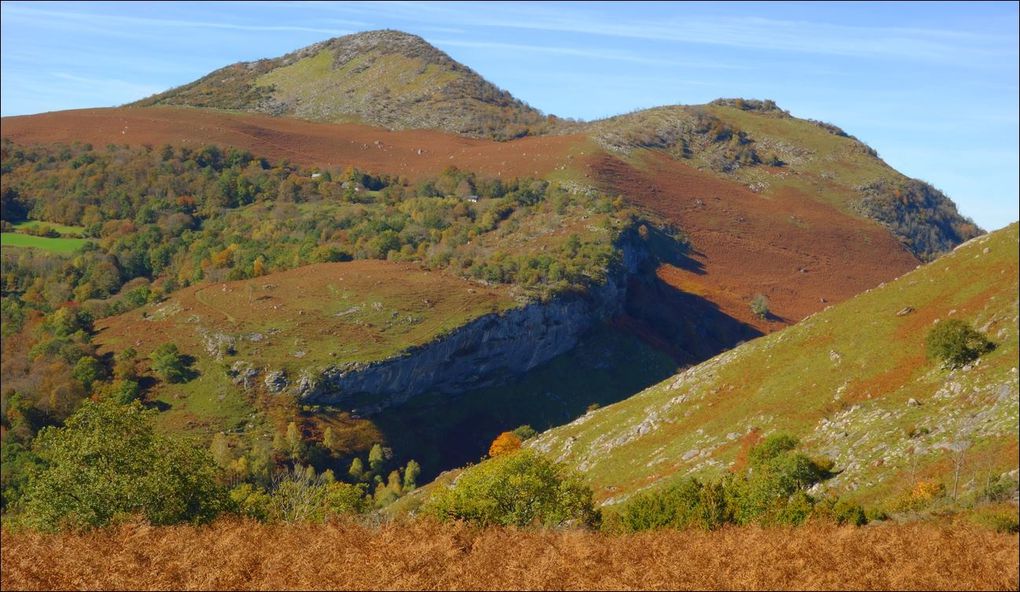
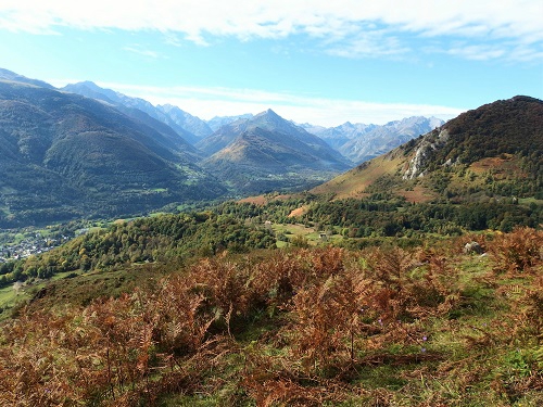
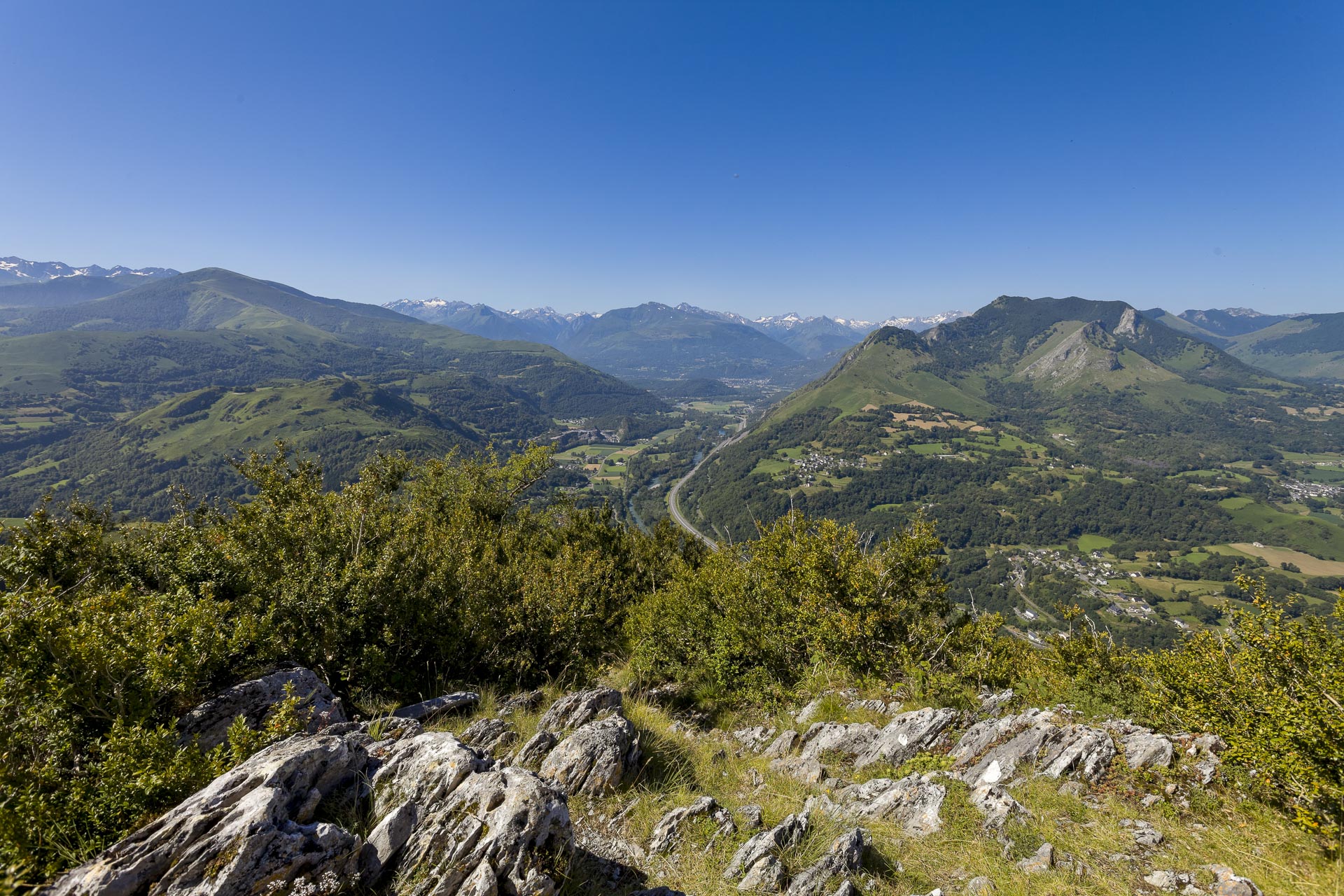
Located in the immediate vicinity of Lourdes, this loop route allows you to gain height over the city, to the top of the Pic du Jet (951 m). The view extends to the Pyrenean peaks.

Already more than 200,000 users!
Uphill
547m
Highest point
927m
Downhill
547m
Lowest point
399m
Route type
Loop
Download the map on your smartphone to save battery and rest assured to always keep access to the route, even without signal.
Includes IGN France and Swisstopo.
I indicate whether dogs are allowed or prohibited on this trail
Can be difficult in Winter
6 ratings
Quelques difficultés pour trouver son chemin par moment mais dans l'ensemble pas mal, a faire plutôt par beau temps.
Très belle randonnée, assez calme et très agréable.
Also enjoy:

Already more than 200,000 users!