Uphill
1291m

Length
14km
Duration
8h30min
Elev gain
1291m
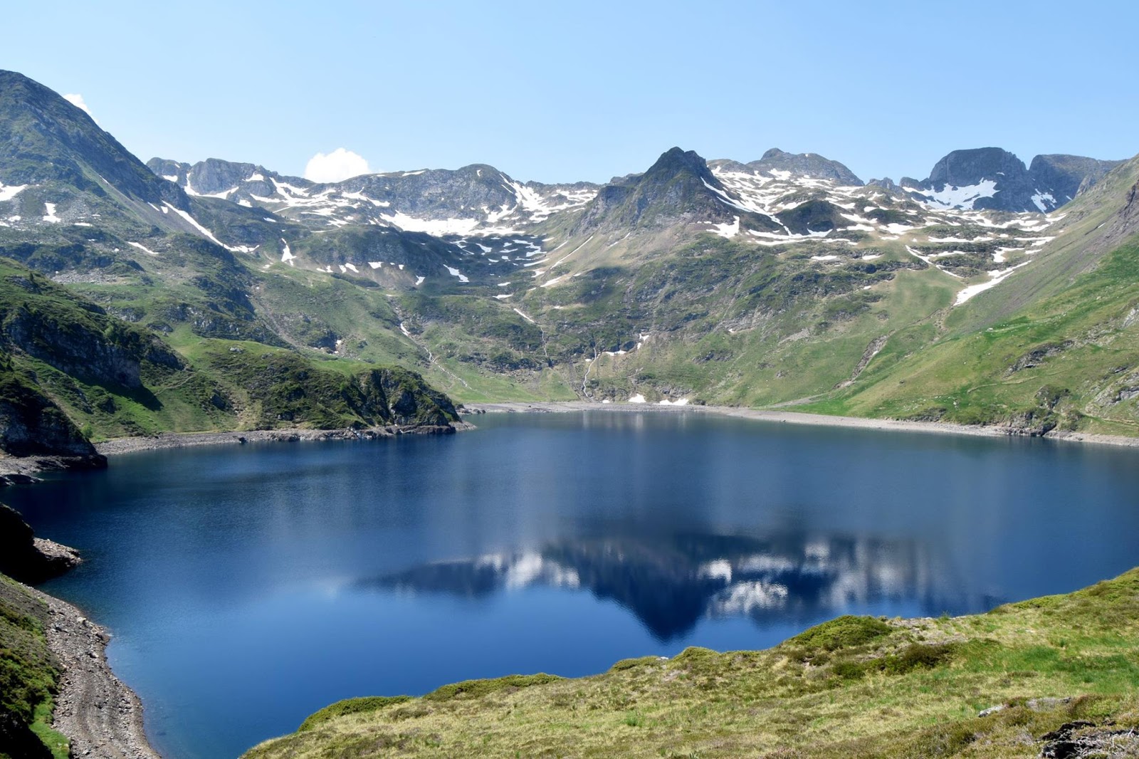
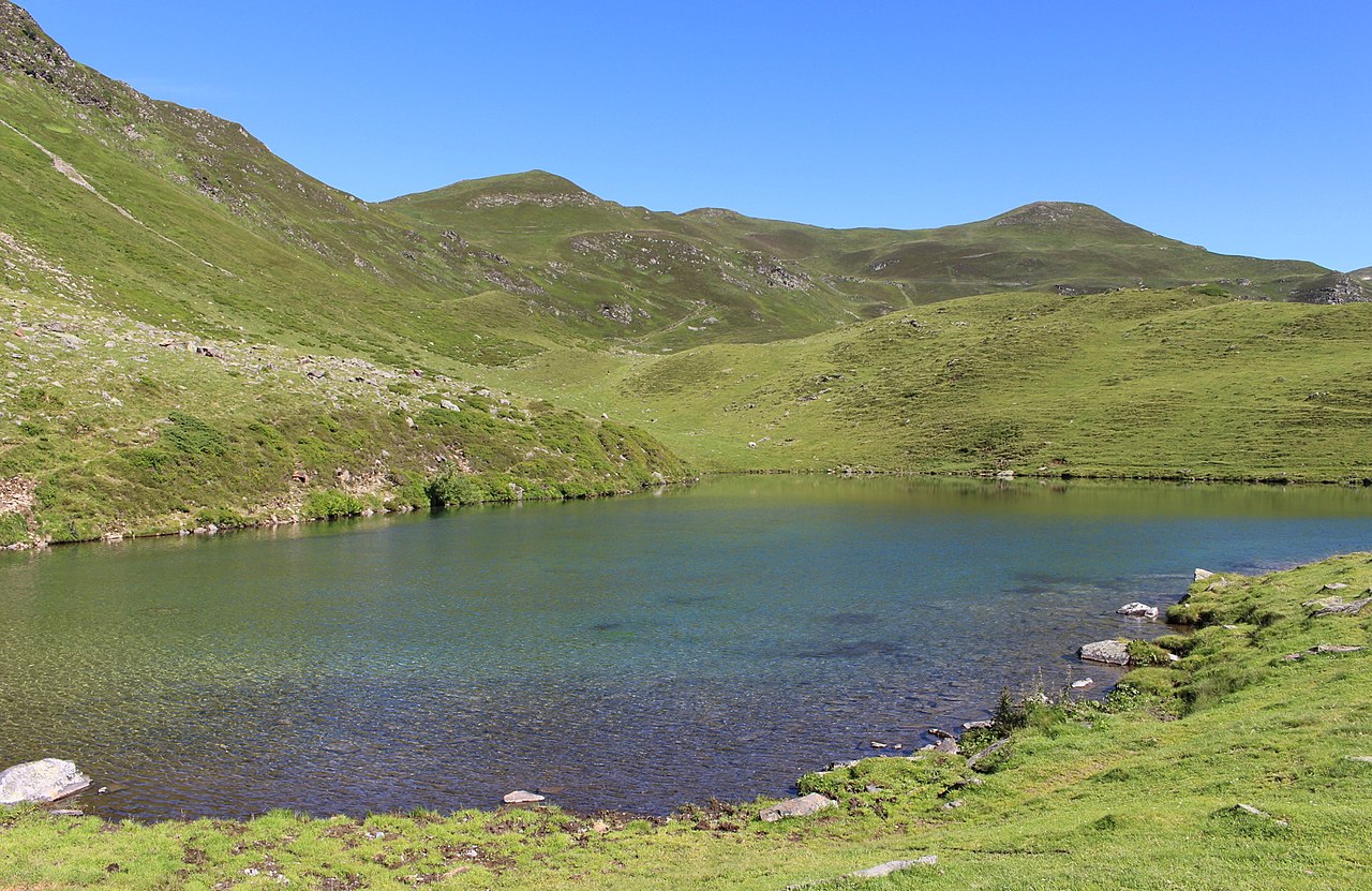
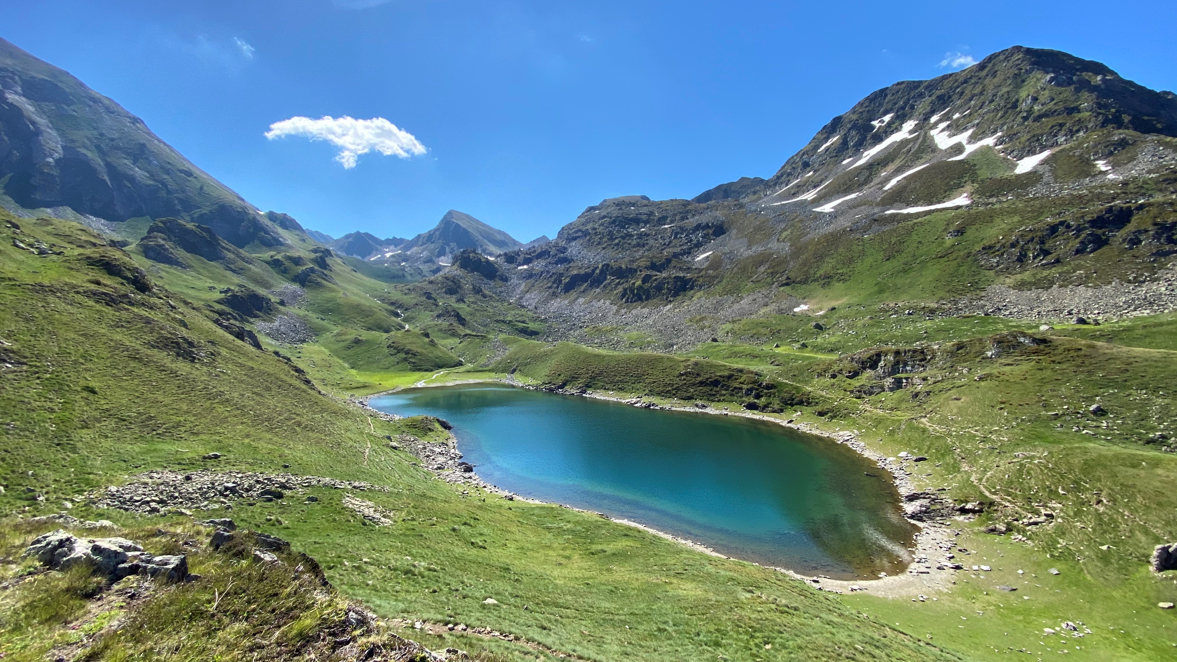
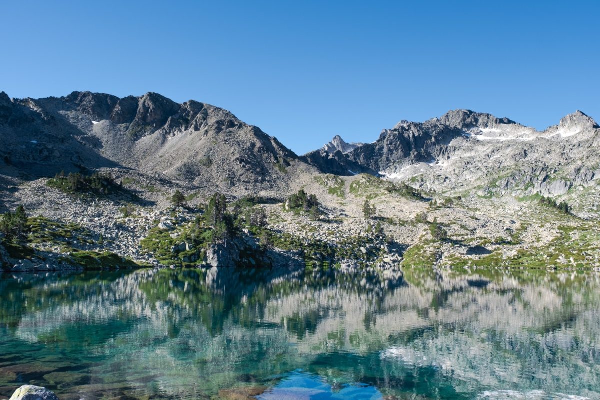
From the Lesponne valley, this sporty hike passes close to the Montaigu lake before reaching the Pic de Montaigu (2,339m). The path continues on the ridges and passes by the peak of Oussouet (1,873m) and La Peyre (1,821m). A hike that offers beautiful panoramas.

Already more than 200,000 users!
Uphill
1291m
Highest point
2305m
Downhill
1291m
Lowest point
1135m
Route type
Loop
Download the map on your smartphone to save battery and rest assured to always keep access to the route, even without signal.
Includes IGN France and Swisstopo.
I indicate whether dogs are allowed or prohibited on this trail
From May to September
0 ratings
Also enjoy:

Already more than 200,000 users!